Browse / Norway / Rogaland / Bryne
Bryne
Rogalandtown

Bryne
Total population
13,459
Demographic figures from Statistics Norway (SSB). Overview below cites Wikipedia and may reference a different year.
City facts
Facts from Wikidata (CC0).
Overview
Bryne is a town in Time Municipality in Rogaland county, Norway. The town is the administrative centre of the municipality of Time.
Read more on WikipediaHistory & geography
History
The village of Bryne was founded as Thime Stasjon, since this was the location of the Thime Station along the Jærbanen railroad going from Stavanger to Egersund. The small village, which grew up around an old farm of the same name (Time parish farm #1), was one of many popping up around the new stations on the railroad that was completed in 1878. A new chapel was soon built, as well as a store, a wool-processing factory and a dairy farm. Several industries related to agriculture also emerged, producing ploughs, mowers and harvesting equipment. Many years later in 1949, the first excavator in Europe with complete hydraulic transmission of power, the Brøyt, was introduced by the two brothers Kristian and Ingebret Søyland. Also the company Tralfa developed the world's first spray-paint robot. Today, Tralfa is part of ABB. Gradually, Bryne developed into a regional education center, with a dairy school established in 1906, the National Grammar School (Rogaland Landsgymnas) in 1924, and later a vocational school was also established. In 1921, the name of Thime Station was changed to Bryne by referendum. Bryne has since grown rapidly to become Jæren's most densely populated rural area and a regional trade center. On 1 January 2001, the municipality granted Bryne town status, the 49th largest settlement in Norway at the time.
Excerpted from the corresponding Wikipedia article (CC BY-SA).
Geography
Coordinates & boundaries from the US Census TIGER/Line shapefiles.
Climate
Air quality
Walkability
Amenities nearby
Wildlife & biodiversity
Earthquake history
Photos
Sights & places nearby
Notable people from here


People born within ~10 km, from Wikidata (CC0). Click any name for their Wikipedia article.
Nearby places in Rogaland
- Leidland21.9 mi away
- Haugesund48.8 mi away · pop. 47,346
- Kiikoinen610.6 mi away · pop. 1,263
- Äetsä612.5 mi away · pop. 2,156
- Pehula612.5 mi away
- Keikyä612.6 mi away
- Jätinmaa612.8 mi away
- Myöntee612.9 mi away
- Heinimaankulma613.4 mi away
- Munkinmaa614.8 mi away
- Pohjakylä618.5 mi away
- Vammala620.1 mi away · pop. 9,790
Geography & sun
Elevation, sunrise/sunset and daylight from Open-Meteo. Solar climatology from NASA POWER.
Nearby airports
Public attention
Pageview totals from the Wikimedia Pageviews API.
Books about Bryne
Search results from Open Library.
Recent natural events nearby
Ground air-quality sensors
Recently spotted species
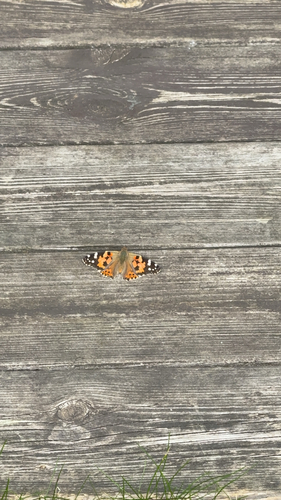
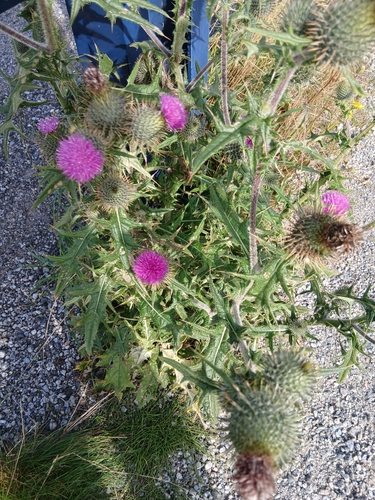
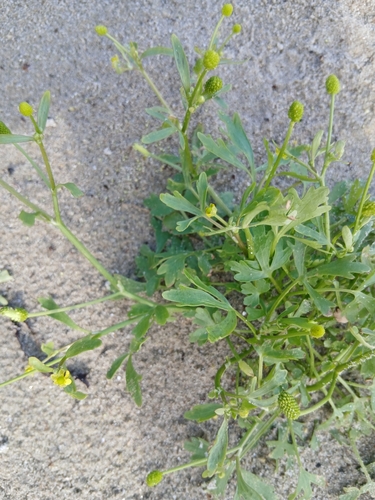
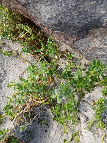
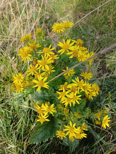
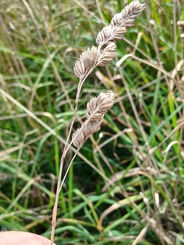
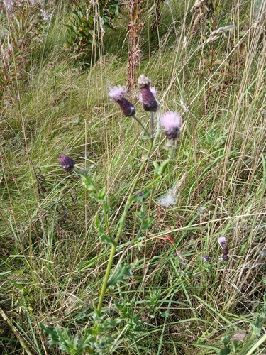
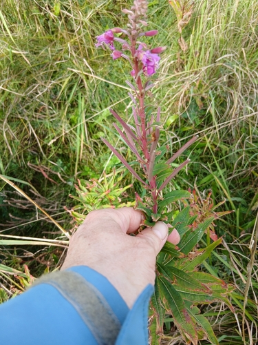
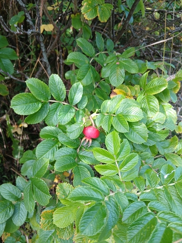
Research-grade observations from iNaturalist (within ~15 mi).
Events
Gallery
Sources
- • Wikipedia
- • Wikidata
- • iNaturalist
- • Open-Meteo / sunrise-sunset.org
- • Wikipedia Pageviews API
- • Open Library
- • Wikidata SPARQL (CC0) — population, area, elevation, inception, head of government, Commons image