Browse / United States / Kansas / Frederick
Frederick
Kansascity

Frederick
Total population
40
Median home value
$65,000
Bachelor's+
Median income
$38,831
Demographic figures from US Census Bureau · ACS 5-year estimates. Overview below cites Wikipedia and may reference a different year.
City facts
Facts from Wikidata (CC0).
Overview
Frederick is a city in Rice County, Kansas, United States. As of the 2020 census, the population of the city was 8.
Read more on WikipediaHistory & geography
History
Frederick was incorporated in 1909. It was a shipping point at the junction of the Missouri Pacific and the St. Louis & San Francisco railroads. A post office was opened in Frederick (also spelled historically Frederic) in 1887, and remained in operation until being discontinued in 1954. In July 2015, Government officials report considering un-incorporating the city. As of August 2015, for the first time in nearly 130 years, the city doesn't have a city council and no one ran for mayor in April 2015. The future of Frederick is uncertain because Rice County doesn't have the power to unincorporate the city. According to state law, residents must bring a petition to the city council, then a special election will be called for a vote, but since there is no city council, then it is impossible. In November 2016, the community voted on whether to dissolve Frederick. Election workers at the Eureka Township voting location accidentally gave the wrong ballots to township residents who didn't actually live in Frederick. Twenty people voted, 13 voting to keep the community alive, but currently, only nine people live in Frederick. The mistake was caught more than a week after the vote was certified, which was, therefore, after the five-day window to contest a vote, thus Kansas law locked the outcome: Frederick is still a city. In November 2017, another ballot issue was voted on whether to dissolve the city. The vote was 2-2.
Geography
According to the United States Census Bureau, the city has a total area of , all land.
Excerpted from the corresponding Wikipedia article (CC BY-SA).
Demographics & economy
Race & ethnicity
Source: US Census Bureau — American Community Survey, 5-year estimates.
Geography
Coordinates & boundaries from the US Census TIGER/Line shapefiles.
Climate
Current forecast
Forecast for Frederick, KS from NOAA NWS API.
Air quality
Industrial & pollution facilities
Natural hazard risk
Health (adults)
Walkability
Amenities nearby
Wildlife & biodiversity
Most-observed species
- Red-winged BlackbirdAgelaius phoeniceus (Linnaeus, 1766) · Aves86
- Red-tailed HawkButeo jamaicensis (Gmelin, 1788) · Aves84
- Mourning DoveZenaida macroura (Linnaeus, 1758) · Aves65
- Turkey VultureCathartes aura (Linnaeus, 1758) · Aves48
- European StarlingSturnus vulgaris Linnaeus, 1758 · Aves46
- Hen HarrierCircus cyaneus (Linnaeus, 1766) · Aves38
- Western MeadowlarkSturnella neglecta Audubon, 1844 · Aves37
- American CrowCorvus brachyrhynchos C.L.Brehm, 1822 · Aves36
Citizen-science & research observations from the Global Biodiversity Information Facility (GBIF).
Schools
Earthquake history
Photos
Sights & places nearby
Notable people from here

People born within ~10 km, from Wikidata (CC0). Click any name for their Wikipedia article.
Nearby places in Kansas
Geography & sun
Elevation, sunrise/sunset and daylight from Open-Meteo. Solar climatology from NASA POWER.
Nearby airports
Public attention
Pageview totals from the Wikimedia Pageviews API.
Books about Frederick


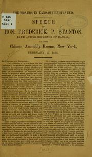


Search results from Open Library.
Recent natural events nearby
- Wildfire Burnt Canyon, Woodward, OklahomaWildfires · 2026-08-15 · 143 mi
- Wildfire B.B, Osage, OklahomaWildfires · 2026-08-06 · 148 mi
- Wildfire Semi 270, Woodward, OklahomaWildfires · 2026-08-01 · 154 mi
- Wildfire BISON, Osage, OklahomaWildfires · 2026-08-21 · 155 mi
- Wildfire Black Kettle, Roger Mills, OklahomaWildfires · 2026-09-14 · 205 mi
- Wildfire GRACEMONT, Caddo, OklahomaWildfires · 2026-09-13 · 220 mi
- Wildfire 2690, Caddo, OklahomaWildfires · 2026-08-21 · 231 mi
- Wildfire Calvary Creek, Washita, OklahomaWildfires · 2026-09-15 · 235 mi
Wildfires, storms and other events from NASA EONET (last 12 months, within 250 mi).
Ground air-quality sensors
Recently spotted species
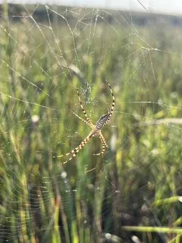
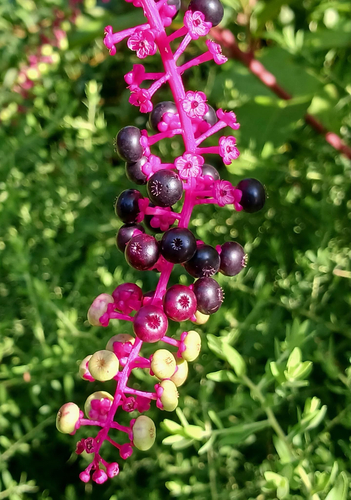
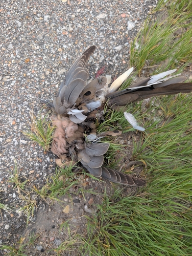
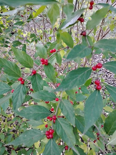
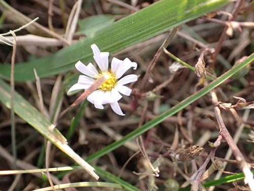
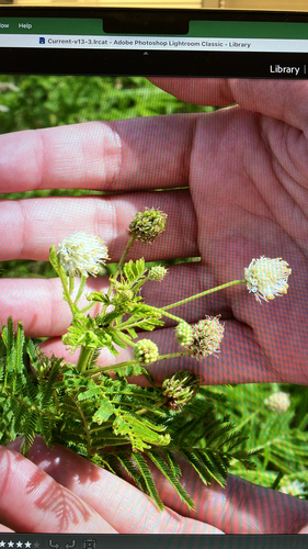
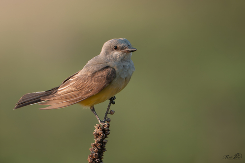
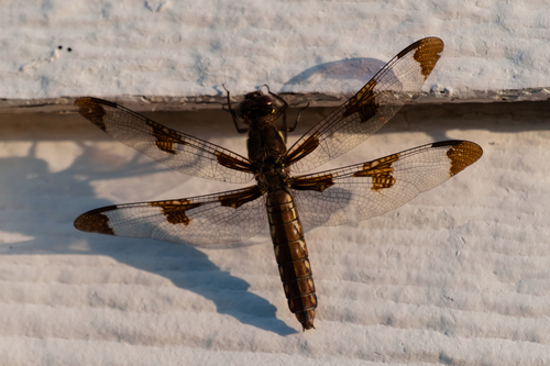
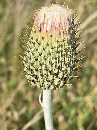
Research-grade observations from iNaturalist (within ~15 mi).
Nearest stream gauge
Live readings from USGS NWIS · measured 2026-09-21 23:30 UTC.
Events
Gallery
Sources
- • Wikipedia
- • US Census Bureau (ACS 5-year estimates)
- • NOAA National Weather Service
- • Wikidata
- • USGS NWIS (water data)
- • GBIF (Global Biodiversity Information Facility)
- • iNaturalist
- • Open-Meteo / sunrise-sunset.org
- • Wikipedia Pageviews API
- • Open Library
- • NASA EONET