Browse / United States / Kansas / Great Bend
Great Bend
Kansascity

Great Bend
Total population
14,479
Median home value
$133,900
Bachelor's+
Median income
$54,139
Founded
1871
Demographic figures from US Census Bureau · ACS 5-year estimates. Overview below cites Wikipedia and may reference a different year.
City facts
Facts from Wikidata (CC0).
Overview
Great Bend is a city in and the county seat of Barton County, Kansas, United States. It is named for its location at the point where the course of the Arkansas River bends east then southeast. As of the 2020 census, the population of the city was 14,733. It is home to Barton Community College.
Read more on WikipediaHistory & geography
History
Prior to American settlement of the area, the site of Great Bend was located in the northern reaches of Kiowa territory. Claimed first by France as part of Louisiana and later acquired by the United States with the Louisiana Purchase in 1803, it lay within the area organized by the U.S. as Kansas Territory in 1854. Kansas became a state in 1861, and the state government delineated the surrounding area as Barton County in 1867. In 1871, the Great Bend Town Company, anticipating the westward construction of the Atchison, Topeka and Santa Fe Railroad, founded Great Bend at a site roughly three miles west of Fort Zarah on the Santa Fe Trail. They named the settlement after its location at the "great bend" in the Arkansas River where the river's course turns eastward. The town began to grow as more settlers arrived over the following year and opened several businesses. The railroad reached Great Bend in July 1872, and an election at about the same time declared the town the permanent county seat. Great Bend was incorporated as a city soon thereafter. The county courthouse and the city's first public school were built the following year. More than 3,000 wells produced during the 1930s, and the influx of workers dramatically increased the city's population. After the war, the City of Great Bend acquired the base and repurposed it for civilian use as Great Bend Municipal Airport. The city continued to grow through the 1950s, its population peaking at almost 17,000 in 1960. In 1973, the Fuller Brush Company relocated its production facilities to Great Bend, becoming one of the city's major employers. Despite a modest decline in population in recent decades, Great Bend continues to serve as a commercial center for central Kansas.
Geography
Great Bend is located at the intersection of U.S. routes 56 and 281. Driving by highway, it is approximately northwest of Wichita and southwest of Hays. Lying in the Great Bend Sand Prairie region of the Great Plains, the city is situated on the north side of the Arkansas River, where the river's course shifts from northeast to southeast. Dry Walnut Creek, a tributary of nearby Walnut Creek, flows east along the northern edge of the city. Cheyenne Bottoms, a large inland wetland, is located approximately to the northeast. According to the United States Census Bureau, the city has a total area of , of which is land and is water. Located near the convergence of North America's humid continental (Köppen: Dfa), humid subtropical (Köppen: Cfa), and semi-arid (Köppen: BSk) climate zones, Great Bend experiences hot summers and cold, dry winters. The hottest temperature recorded in Great Bend was on July 11–13, 1954, June 27, 1980, June 30, 1980, and July 14, 1980, while the coldest temperature recorded was on December 22, 1989. The high temperature reaches or exceeds an average of 69.7 days a year and reaches or exceeds an average of 12 days a year. The minimum temperature falls below the freezing point an average of 119.5 days a year. |source 2 = National Weather Service }}
Excerpted from the corresponding Wikipedia article (CC BY-SA).
Demographics & economy
Race & ethnicity
Source: US Census Bureau — American Community Survey, 5-year estimates.
Geography
Coordinates & boundaries from the US Census TIGER/Line shapefiles.
Climate
10-year averages from ERA5 reanalysis (Open-Meteo).
Current forecast
Forecast for Great Bend, KS from NOAA NWS API.
Air quality
Industrial & pollution facilities
Natural hazard risk
Health (adults)
Age-adjusted prevalence estimates from CDC PLACES (latest release).
Walkability
Amenities nearby
Wildlife & biodiversity
Most-observed species
- Red-winged BlackbirdAgelaius phoeniceus (Linnaeus, 1766) · Aves3,264
- KilldeerCharadrius vociferus Linnaeus, 1758 · Aves2,570
- Great Blue/Cocoi HeronArdea herodias Linnaeus, 1758 · Aves2,518
- Northern ShovelerSpatula clypeata (Linnaeus, 1758) · Aves2,168
- Blue-winged TealSpatula discors (Linnaeus, 1766) · Aves2,104
- Ring-billed GullLarus delawarensis Ord, 1815 · Aves2,011
- American White PelicanPelecanus erythrorhynchos Gmelin, 1789 · Aves1,859
- MallardAnas platyrhynchos Linnaeus, 1758 · Aves1,810
Citizen-science & research observations from the Global Biodiversity Information Facility (GBIF).
Schools
Largest nearby schools
- Great Bend High SchoolHigh · Great Bend · 913 students · 14:1 ratio
- Great Bend Middle SchoolMiddle · Great Bend · 460 students · 12.1:1 ratio
- Eisenhower ElemElementary · Great Bend · 316 students · 13.7:1 ratio
- Jefferson ElemElementary · Great Bend · 301 students · 15.8:1 ratio
- Riley ElemElementary · Great Bend · 294 students · 11.8:1 ratio
- Park ElemElementary · Great Bend · 251 students · 12.6:1 ratio
- Lincoln ElemElementary · Great Bend · 221 students · 12.3:1 ratio
Public K–12 schools within ~10 mi from Urban Institute Education Data Portal (NCES Common Core of Data, 2022).
Earthquake history
Photos
Sights & places nearby
Notable people from here


People born within ~10 km, from Wikidata (CC0). Click any name for their Wikipedia article.
Nearby places in Kansas
Geography & sun
Elevation, sunrise/sunset and daylight from Open-Meteo. Solar climatology from NASA POWER.
Nearby airports
Public attention
Pageview totals from the Wikimedia Pageviews API.
Books about Great Bend

Search results from Open Library.
Recent natural events nearby
- Wildfire Burnt Canyon, Woodward, OklahomaWildfires · 2026-08-15 · 125 mi
- Wildfire Semi 270, Woodward, OklahomaWildfires · 2026-08-01 · 133 mi
- Wildfire B.B, Osage, OklahomaWildfires · 2026-08-06 · 163 mi
- Wildfire BISON, Osage, OklahomaWildfires · 2026-08-21 · 169 mi
- Wildfire 2690, Caddo, OklahomaWildfires · 2026-08-21 · 223 mi
- Wildfire Old Deer, Carson, TexasWildfires · 2026-08-23 · 241 mi
- Wildfire MEERS, Comanche, OklahomaWildfires · 2026-09-08 · 243 mi
Wildfires, storms and other events from NASA EONET (last 12 months, within 250 mi).
Ground air-quality sensors
Recently spotted species
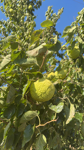
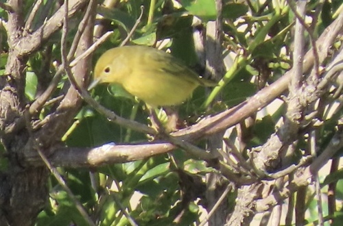
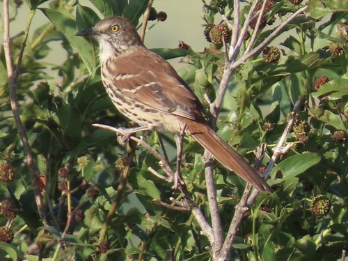
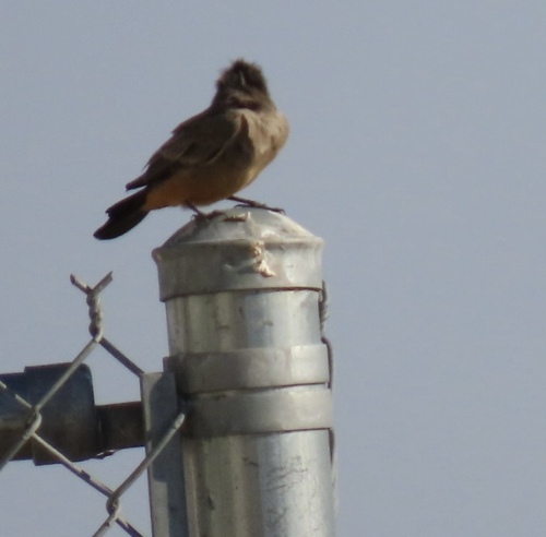
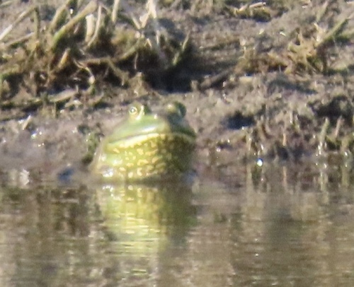
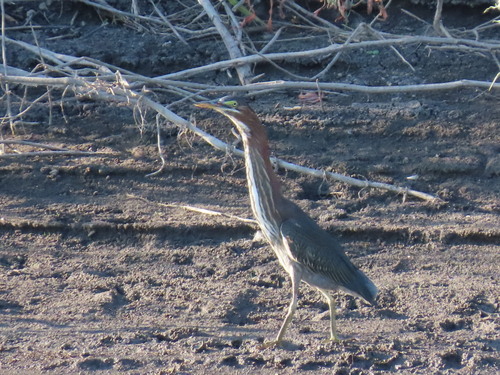
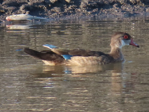
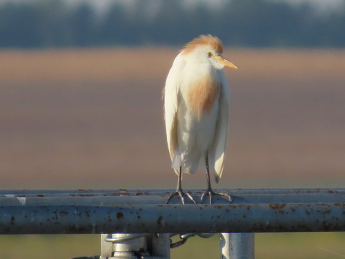
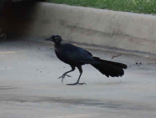
Research-grade observations from iNaturalist (within ~15 mi).
Nearest stream gauge
Live readings from USGS NWIS · measured 2026-09-15 06:30 UTC.
Events
Gallery
Sources
- • Wikipedia
- • US Census Bureau (ACS 5-year estimates)
- • Open-Meteo (ERA5 reanalysis)
- • NOAA National Weather Service
- • Wikidata
- • USGS NWIS (water data)
- • NCES via Urban Institute Education Data Portal
- • GBIF (Global Biodiversity Information Facility)
- • iNaturalist
- • CDC PLACES
- • Open-Meteo / sunrise-sunset.org
- • Wikipedia Pageviews API
- • Open Library
- • NASA EONET