Browse / United States / Kansas / Olathe
Olathe
Kansascity

Olathe
Total population
149,027
Median home value
$396,400
Bachelor's+
Median income
$113,624
Founded
1857
Demographic figures from US Census Bureau · ACS 5-year estimates. Overview below cites Wikipedia and may reference a different year.
- Frost Advisory · MinorFrost Advisory issued October 16 at 9:40AM CDT until October 17 at 9:00AM CDT by NWS Kansas City/Pleasant Hill MO
Source: NOAA National Weather Service.
City facts
Sister cities
Facts from Wikidata (CC0).
Overview
Olathe is a city in and the county seat of Johnson County, Kansas, United States. It is the fourth-most populous city in both the Kansas City metropolitan area and the state of Kansas, with a 2020 population of 141,290.
Read more on WikipediaHistory & geography
History
Olathe was founded by John T. Barton in the spring of 1857. He rode to the center of Johnson County, and staked two quarter sections of land as the town site. He later described his ride to friends: "...the prairie was covered with verbena and other wild flowers. I kept thinking the land was beautiful and that I should name the town Beautiful." Purportedly, Barton asked a Shawnee interpreter how to say "Beautiful" in his native language. The interpreter responded, "Olathe." Olathe was incorporated in 1857, and while not the first city in Johnson County, its rapid growth led to it being named the county seat in October 1859. Kansas militia continued to occupy the Olathe military post through the rest of the Civil War. Confederate forces attempted two further raids against the city. The first happened on August 20–21, 1863, as Quantrill was passing through on his way to Lawrence, Kansas (see Lawrence Massacre). The second raid occurred October 24–5, 1864, when Confederate Major General Sterling Price, with a force of 10,000 men, passed through on their retreat south (see Price's Raid). With the Confederate surrender, the military post was decommissioned in August 1865. Olathe served as a stop on the Oregon Trail, the California Trail, and the Santa Fe Trail. Catering to travelers was the main source of income for local stores and businesses. The Mahaffie House, a popular resupply point for wagons headed westward, is today a registered historical site maintained by the City of Olathe. The staff wears period costumes, and stagecoach rides and farm animals make the site a favorite among children. Visitors can participate in Civil War re-enactments, Wild West Days, and other activities. After the construction of the transcontinental railroad, the trails to the west lost…
Geography
Olathe is bordered by the cities of Lenexa to the north, Overland Park to the east, De Soto to the northwest, and Gardner to the southwest. According to the United States Census Bureau, the city has a total area of of which are land and is covered by water. Olathe has two public lakes: Lake Olathe with of water surface and Cedar Lake with . Olathe's Black Bob Park is named after Hathawekela Shawnee Chief Black Bob. Olathe has a humid continental climate, with cold winters and hot summers. Temperatures range from an average high of and low in January to an average high of nearly in July. The temperature reaches an average of 36 days per year and an average of three days per year. The minimum temperature falls below freezing (32 °F) an average of 102 days per year, but rarely drops below . Typically, the first frost occurs between mid-October and the first week of November, and the last frost occurs between the end of March and the second week of April. The area receives approximately of precipitation during an average year, with the largest share being received in May and June; the April–June period averages 30 days of measurable precipitation. During a typical year, the total amount of precipitation may range from 28 to almost 53 inches. On average, 95 days of measurable precipitation occur per year. Winter snowfall averages about 19 inches, but the median is . Measurable snowfall occurs an average of nine days per year, with at least an inch of snow being received on seven of those days. Snow depth of at least an inch occurs an average of 25 days per year.
Excerpted from the corresponding Wikipedia article (CC BY-SA).
Demographics & economy
Race & ethnicity
Source: US Census Bureau — American Community Survey, 5-year estimates.
Geography
Coordinates & boundaries from the US Census TIGER/Line shapefiles.
Climate
Current forecast
Forecast for Olathe, KS from NOAA NWS API.
Air quality
Industrial & pollution facilities
Natural hazard risk
Health (adults)
Age-adjusted prevalence estimates from CDC PLACES (latest release).
Walkability
Amenities nearby
Wildlife & biodiversity
Most-observed species
- Northern CardinalCardinalis cardinalis (Linnaeus, 1758) · Aves28,084
- Blue JayCyanocitta cristata (Linnaeus, 1758) · Aves24,174
- American RobinTurdus migratorius Linnaeus, 1766 · Aves23,171
- Black-capped ChickadeePoecile atricapillus (Linnaeus, 1766) · Aves22,326
- Mourning DoveZenaida macroura (Linnaeus, 1758) · Aves19,443
- Red-bellied WoodpeckerMelanerpes carolinus (Linnaeus, 1758) · Aves17,380
- American CrowCorvus brachyrhynchos C.L.Brehm, 1822 · Aves16,677
- Downy WoodpeckerDryobates pubescens (Linnaeus, 1766) · Aves16,511
Citizen-science & research observations from the Global Biodiversity Information Facility (GBIF).
Schools
Largest nearby schools
- Olathe North Sr HighHigh · Olathe · 2,230 students · 16.9:1 ratio
- Olathe Northwest High SchoolHigh · Olathe · 1,952 students · 16:1 ratio
- Olathe East Sr HighHigh · Olathe · 1,903 students · 14.8:1 ratio
- Olathe South Sr HighHigh · Olathe · 1,841 students · 15.5:1 ratio
- Gardner Edgerton HighHigh · Gardner · 1,789 students · 17.5:1 ratio
- Olathe West High SchoolHigh · Olathe · 1,662 students · 15.5:1 ratio
- Shawnee Mission West HighHigh · Shawnee Mission · 1,640 students · 15.8:1 ratio
- Shawnee Mission Northwest HighHigh · Shawnee Mission · 1,626 students · 15.9:1 ratio
Public K–12 schools within ~10 mi from Urban Institute Education Data Portal (NCES Common Core of Data, 2022).
Earthquake history
Photos
Sights & places nearby
Notable people from here


People born within ~10 km, from Wikidata (CC0). Click any name for their Wikipedia article.
Nearby places in Kansas
- Lenexa5.8 mi away · pop. 58,384
- Overland Park7 mi away · pop. 202,909
- Gardner7.6 mi away · pop. 24,526
- De Soto9.4 mi away · pop. 6,414
- Shawnee9.4 mi away · pop. 68,542
- Leawood10.6 mi away · pop. 33,809
- Prairie Village12.3 mi away · pop. 22,874
- Bucyrus12.7 mi away · pop. 168
- Linwood14.3 mi away · pop. 312
- Eudora15.2 mi away · pop. 6,119
- Mission Woods15.4 mi away · pop. 184
- Hillsdale15.4 mi away · pop. 117
Geography & sun
Elevation, sunrise/sunset and daylight from Open-Meteo. Solar climatology from NASA POWER.
Nearby airports
Public attention
Pageview totals from the Wikimedia Pageviews API.
Books about Olathe

Search results from Open Library.
Recent natural events nearby
- Wildfire BISON, Osage, OklahomaWildfires · 2026-08-21 · 161 mi
- Wildfire B.B, Osage, OklahomaWildfires · 2026-08-06 · 163 mi
Wildfires, storms and other events from NASA EONET (last 12 months, within 250 mi).
Ground air-quality sensors
Recently spotted species
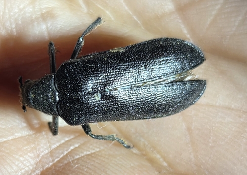
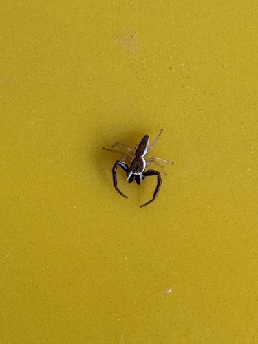
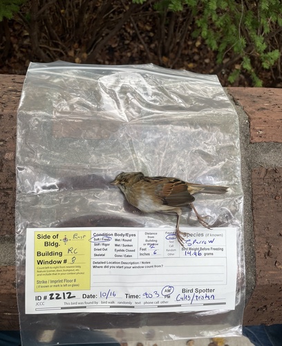
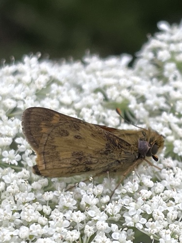
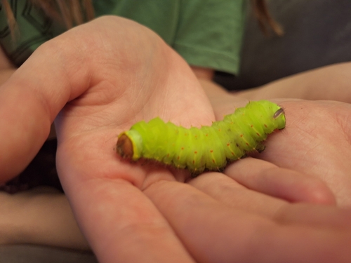
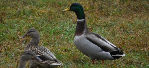
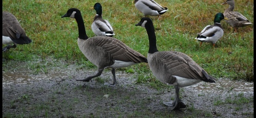

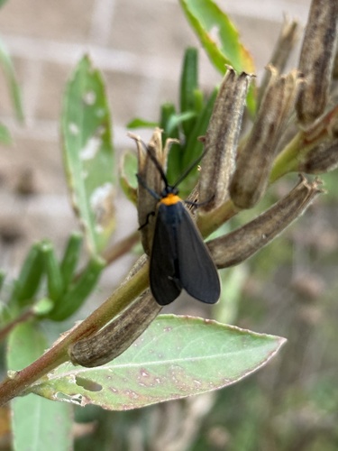
Research-grade observations from iNaturalist (within ~15 mi).
Nearest stream gauge
Events
Gallery
Sources
- • Wikipedia
- • US Census Bureau (ACS 5-year estimates)
- • NOAA National Weather Service
- • Wikidata
- • NCES via Urban Institute Education Data Portal
- • GBIF (Global Biodiversity Information Facility)
- • iNaturalist
- • CDC PLACES
- • Open-Meteo / sunrise-sunset.org
- • Wikipedia Pageviews API
- • Open Library
- • NASA EONET