Browse / United States / Kansas / Linwood
Linwood
Kansascity

Linwood
Total population
312
Median home value
$215,800
Bachelor's+
Median income
$65,994
Founded
1860
Air quality index
Demographic figures from US Census Bureau · ACS 5-year estimates. Overview below cites Wikipedia and may reference a different year.
City facts
Facts from Wikidata (CC0).
Overview
Linwood is a city in Leavenworth County, Kansas, United States, and part of the Kansas City metropolitan area. As of the 2020 census, the population of the city was 415. It is located along K-32 highway between Lawrence and Bonner Springs.
Read more on WikipediaHistory & geography
History
Linwood was founded as Journeycake, named after Charles Journeycake, the last Delaware chief. People occasionally made fun of the name Journeycake by calling it "Johnny Cake." The community was platted on both sides of Stranger Creek, near the creek's mouth at the Kansas River. In May 1860, a treaty was signed at Sarcoxieville, northeast of Linwood, by Chief Sarcoxie of the Delaware and by the United States. After the treaty's signature, each member of the tribe was assigned a parcel of land, and the balance of the tribe's territories were sold to the predecessor of the Union Pacific Railroad. Meanwhile, the U.S. government established a trading post near Stranger Creek until the tribe was moved to the Indian Territory in 1867. Located beside the Union Pacific Railroad tracks, the trading post became the first school in the community. In September 1863, the Union Pacific Railroad began building the main line westward across the Great Plains from Kansas City, Kansas, to Denver, Colorado. This was the long-line railroad in Kansas for 2–3 years. The first were opened in 1864 from Wyandotte (now a suburb of Kansas City) to Lawrence. William A. Harris moved to Kansas in 1865 employed as a civil engineer for the Union Pacific Railroad. In 1868 it became the Kansas Pacific Railroad. The original community of Journeycake was officially platted as Stranger on July 11, 1867, and recorded at the Leavenworth County Courthouse. When the name Stranger became a problem for the Postal Service. who confused Stranger with a nearby community also named Stranger (referred to as "Big" Stranger), it was renamed Linwood on December 20, 1877. Legend has it that one day when the citizens were cutting wood for the church, Colonel Loring suggested they change the name to Linwood, because…
Geography
According to the United States Census Bureau, the city has a total area of , of which are land and are water. Linwood is situated along the north bank of the Kansas River.
Excerpted from the corresponding Wikipedia article (CC BY-SA).
Demographics & economy
Race & ethnicity
Source: US Census Bureau — American Community Survey, 5-year estimates.
Geography
Coordinates & boundaries from the US Census TIGER/Line shapefiles.
Climate
Current forecast
Forecast for Linwood, KS from NOAA NWS API.
Air quality
Current readings from Open-Meteo Air Quality API (Copernicus CAMS European reanalysis).
Industrial & pollution facilities
Natural hazard risk
Health (adults)
Age-adjusted prevalence estimates from CDC PLACES (latest release).
Walkability
Amenities nearby
Wildlife & biodiversity
Most-observed species
- Northern CardinalCardinalis cardinalis (Linnaeus, 1758) · Aves21,095
- Blue JayCyanocitta cristata (Linnaeus, 1758) · Aves17,008
- Black-capped ChickadeePoecile atricapillus (Linnaeus, 1766) · Aves16,824
- American CrowCorvus brachyrhynchos C.L.Brehm, 1822 · Aves15,791
- American RobinTurdus migratorius Linnaeus, 1766 · Aves14,478
- Red-bellied WoodpeckerMelanerpes carolinus (Linnaeus, 1758) · Aves14,246
- Mourning DoveZenaida macroura (Linnaeus, 1758) · Aves14,032
- Tufted TitmouseBaeolophus bicolor (Linnaeus, 1766) · Aves13,962
Citizen-science & research observations from the Global Biodiversity Information Facility (GBIF).
Schools
Largest nearby schools
- Tonganoxie ElemElementary · Tonganoxie · 847 students · 13.2:1 ratio
- Basehor-Linwood Middle SchoolMiddle · Basehor · 660 students · 16.5:1 ratio
- Tonganoxie HighHigh · Tonganoxie · 642 students · 13.7:1 ratio
- Tonganoxie Middle SchoolMiddle · Tonganoxie · 436 students · 14.5:1 ratio
- Glenwood Ridge Elementary SchoolElementary · Basehor · 340 students · 13.6:1 ratio
- Gray Hawk Elementary SchoolElementary · Basehor · 277 students · 13.8:1 ratio
- Linwood Elementary SchoolElementary · Bonner Springs · 247 students · 13:1 ratio
Public K–12 schools within ~10 mi from Urban Institute Education Data Portal (NCES Common Core of Data, 2022).
Earthquake history
Most recent
- M 3.5 — 2024-03-152 km NE of Ferrelview, Missouri
- M 2.6 — 2018-07-201 km WNW of Saint Joseph, Missouri
- M 3.1 — 2007-03-235 km N of Nortonville, Kansas
Events from the USGS Earthquake Catalog (global) (FDSN Event Web Service).
Photos
Sights & places nearby
Notable people from here


People born within ~10 km, from Wikidata (CC0). Click any name for their Wikipedia article.
Nearby places in Kansas
- De Soto5.1 mi away · pop. 6,414
- Eudora5.6 mi away · pop. 6,119
- Lawrence12.5 mi away · pop. 97,265
- Shawnee12.5 mi away · pop. 68,542
- Lenexa12.8 mi away · pop. 58,384
- Olathe14.3 mi away · pop. 149,027
- Gardner14.4 mi away · pop. 24,526
- Williamstown16.4 mi away
- Baldwin City17.5 mi away · pop. 4,911
- Kansas City17.9 mi away · pop. 157,450
- Lansing18.3 mi away · pop. 11,246
- Overland Park20.2 mi away · pop. 202,909
Geography & sun
Elevation, sunrise/sunset and daylight from Open-Meteo. Solar climatology from NASA POWER.
Nearby airports
Public attention
Pageview totals from the Wikimedia Pageviews API.
Books about Linwood


Search results from Open Library.
Recent natural events nearby
- Wildfire BISON, Osage, OklahomaWildfires · 2026-08-21 · 163 mi
- Wildfire B.B, Osage, OklahomaWildfires · 2026-08-06 · 164 mi
Wildfires, storms and other events from NASA EONET (last 12 months, within 250 mi).
Ground air-quality sensors
Recently spotted species
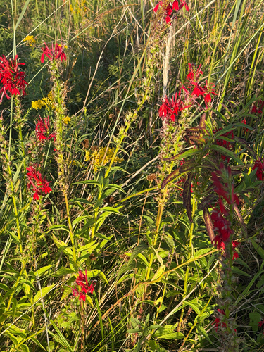
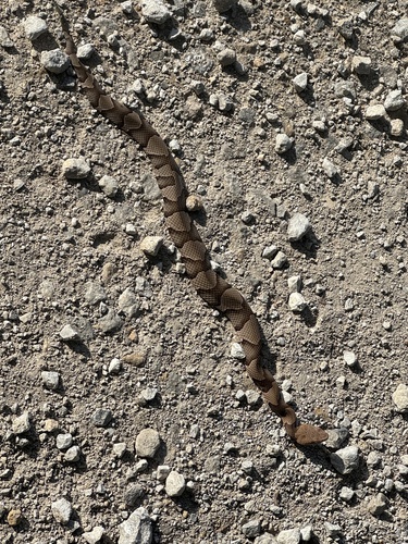
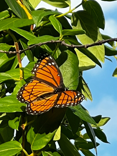
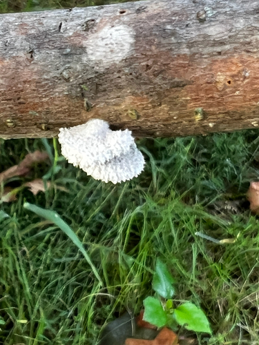
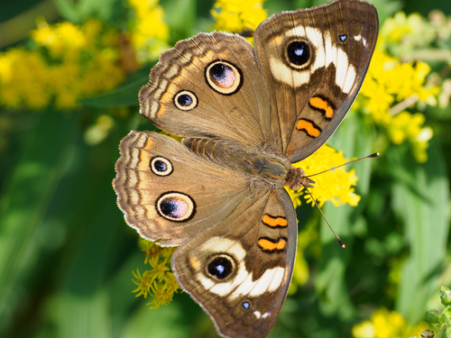
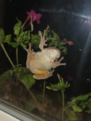
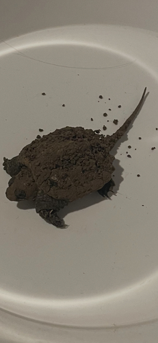
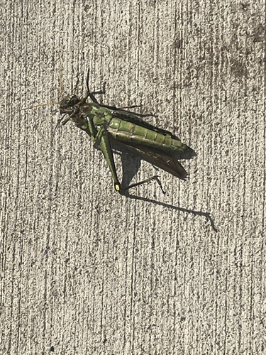
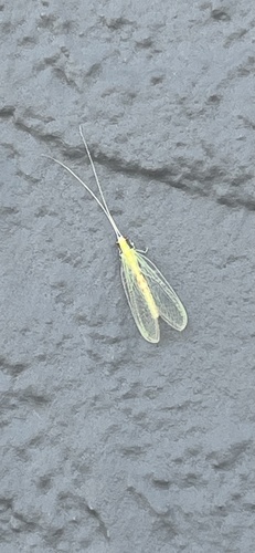
Research-grade observations from iNaturalist (within ~15 mi).
Nearest stream gauge
Events
Gallery
Sources
- • Wikipedia
- • US Census Bureau (ACS 5-year estimates)
- • NOAA National Weather Service
- • Wikidata
- • Open-Meteo Air Quality (CAMS)
- • USGS Earthquake Catalog (global feed)
- • NCES via Urban Institute Education Data Portal
- • GBIF (Global Biodiversity Information Facility)
- • iNaturalist
- • CDC PLACES
- • Open-Meteo / sunrise-sunset.org
- • Wikipedia Pageviews API
- • Open Library
- • NASA EONET