Browse / United States / Kansas / Lansing
Lansing
Kansascity

Lansing
Total population
11,246
Median home value
$270,800
Bachelor's+
Median income
$102,786
Founded
1959
Demographic figures from US Census Bureau · ACS 5-year estimates. Overview below cites Wikipedia and may reference a different year.
City facts
Facts from Wikidata (CC0).
Overview
Lansing is a city in Leavenworth County, Kansas, United States. It is situated along the west side of the Missouri River and Kansas-Missouri state border. As of the 2020 census, the population of the city was 11,239. It is the second most populous city of Leavenworth County and is a part of the Kansas City metropolitan area. The Lansing Correctional Facility, which includes the state's main maximum-security prison, is located in Lansing.
Read more on WikipediaHistory & geography
History
Lansing is named for James Lansing, a pioneer settler. Formerly William Lansing Taylor, James changed his name upon his enlistment in 1862 as a hospital steward in the 7th Kansas Cavalry. Following the Civil War, he earned a position at the new state penitentiary in Kansas as a hospital steward. He later resigned and opened a general mercantile store, which held the post office and an apothecary business, in the area called "Town of Progress". "Doc Lansing", as he became known, and his friend John C. Schmidt became co-owners of of land that was platted into town lots in 1878; they named the area "Town of Lansing". Lansing did not become an incorporated city until 1959. The Kansas State Penitentiary, later renamed the Lansing Correctional Facility in 1990, was authorized by the Kansas Constitution in 1859; it is the state's largest and oldest facility for detention and rehabilitation of male adult felons. Lansing was ranked 88 in the top 100 of Money Magazine's 2007 list of best places to live.
Geography
Lansing is situated along the western bank of the Missouri River, which also marks the Kansas-Missouri state border. It is bordered by the city of Leavenworth to the north; Kansas City is less than a half-hour to the southeast. U.S. Route 73 passes through the city. According to the United States Census Bureau, the city has a total area of , of which is land and is water. The climate in this area is characterized by hot, humid summers and generally mild to cool winters. According to the Köppen Climate Classification system, Lansing has a humid subtropical climate, abbreviated "Cfa" on climate maps.
Excerpted from the corresponding Wikipedia article (CC BY-SA).
Demographics & economy
Race & ethnicity
Source: US Census Bureau — American Community Survey, 5-year estimates.
Geography
Coordinates & boundaries from the US Census TIGER/Line shapefiles.
Climate
Current forecast
Forecast for Lansing, KS from NOAA NWS API.
Air quality
Industrial & pollution facilities
Natural hazard risk
Health (adults)
Age-adjusted prevalence estimates from CDC PLACES (latest release).
Walkability
Amenities nearby
Wildlife & biodiversity
Most-observed species
- Northern CardinalCardinalis cardinalis (Linnaeus, 1758) · Aves7,027
- Blue JayCyanocitta cristata (Linnaeus, 1758) · Aves5,762
- Red-bellied WoodpeckerMelanerpes carolinus (Linnaeus, 1758) · Aves5,342
- Black-capped ChickadeePoecile atricapillus (Linnaeus, 1766) · Aves5,245
- Downy WoodpeckerDryobates pubescens (Linnaeus, 1766) · Aves4,972
- Tufted TitmouseBaeolophus bicolor (Linnaeus, 1766) · Aves4,927
- American RobinTurdus migratorius Linnaeus, 1766 · Aves4,365
- American CrowCorvus brachyrhynchos C.L.Brehm, 1822 · Aves4,229
Citizen-science & research observations from the Global Biodiversity Information Facility (GBIF).
Schools
Largest nearby schools
- Leavenworth Sr HighHigh · Leavenworth · 1,250 students · 18.7:1 ratio
- Lansing High 9-12High · Leavenworth · 870 students · 17.8:1 ratio
- Basehor-Linwood High SchoolHigh · Basehor · 857 students · 15.9:1 ratio
- Lansing Elementary SchoolElementary · Lansing · 762 students · 16.9:1 ratio
- Lansing Middle 6-8Middle · Lansing · 635 students · 14.4:1 ratio
- Basehor Elementary SchoolElementary · Basehor · 505 students · 14.9:1 ratio
- Bradley ElemElementary · Fort Leavenworth · 496 students · 16.5:1 ratio
- Richard Warren Intermediate SchoolMiddle · Leavenworth · 481 students · 19.2:1 ratio
Public K–12 schools within ~10 mi from Urban Institute Education Data Portal (NCES Common Core of Data, 2022).
Earthquake history
Most recent
- M 3.5 — 2024-03-152 km NE of Ferrelview, Missouri
- M 2.6 — 2018-07-201 km WNW of Saint Joseph, Missouri
- M 3.1 — 2007-03-235 km N of Nortonville, Kansas
Events from the USGS Earthquake Catalog (global) (FDSN Event Web Service).
Photos
Sights & places nearby
Notable people from here


People born within ~10 km, from Wikidata (CC0). Click any name for their Wikipedia article.
Nearby places in Kansas
- Kansas City11.7 mi away · pop. 157,450
- Shawnee16.3 mi away · pop. 68,542
- Linwood18.3 mi away · pop. 312
- De Soto18.9 mi away · pop. 6,414
- Lenexa19.8 mi away · pop. 58,384
- Winchester20.7 mi away · pop. 417
- Mission Woods21 mi away · pop. 184
- Prairie Village22.5 mi away · pop. 22,874
- Eudora23.8 mi away · pop. 6,119
- Olathe25.2 mi away · pop. 149,027
- Atchison25.6 mi away · pop. 10,785
- Nortonville26.1 mi away · pop. 715
Geography & sun
Elevation, sunrise/sunset and daylight from Open-Meteo. Solar climatology from NASA POWER.
Nearby airports
Public attention
Pageview totals from the Wikimedia Pageviews API.
Books about Lansing
Search results from Open Library.
Recent natural events nearby
- Wildfire BISON, Osage, OklahomaWildfires · 2026-08-21 · 181 mi
- Wildfire B.B, Osage, OklahomaWildfires · 2026-08-06 · 182 mi
Wildfires, storms and other events from NASA EONET (last 12 months, within 250 mi).
Ground air-quality sensors
Recently spotted species
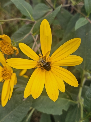
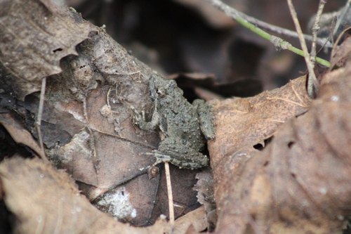
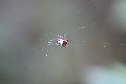
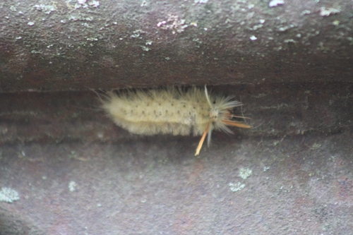
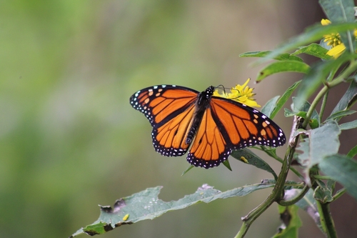
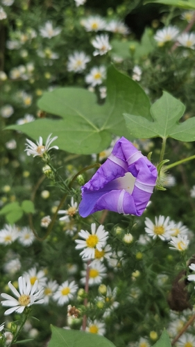
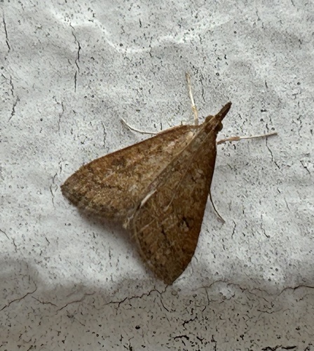
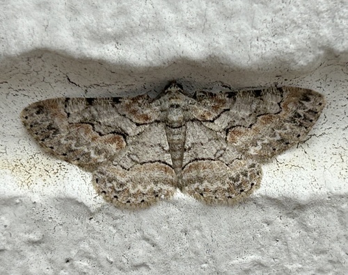
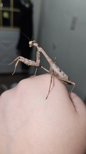
Research-grade observations from iNaturalist (within ~15 mi).
Nearest stream gauge
Events
Gallery
Sources
- • Wikipedia
- • US Census Bureau (ACS 5-year estimates)
- • NOAA National Weather Service
- • Wikidata
- • USGS Earthquake Catalog (global feed)
- • NCES via Urban Institute Education Data Portal
- • GBIF (Global Biodiversity Information Facility)
- • iNaturalist
- • CDC PLACES
- • Open-Meteo / sunrise-sunset.org
- • Wikipedia Pageviews API
- • Open Library
- • NASA EONET