Browse / United States / Kansas / Spring Hill
Spring Hill
Kansascity

Spring Hill
Total population
9,120
Median home value
$357,800
Bachelor's+
Median income
$112,428
Demographic figures from US Census Bureau · ACS 5-year estimates. Overview below cites Wikipedia and may reference a different year.
City facts
Overview
Spring Hill is a city in Johnson and Miami counties in the U.S. state of Kansas, and part of the Kansas City Metropolitan Area. As of the 2020 census, the population of the city was 7,952, and was estimated to be 9,689 in 2023.
Read more on WikipediaHistory & geography
History
In 1856, James B. Hovey named the community after a town near Mobile, Alabama. "Being somewhat enthusiastic in my estimation of its future, it having all advantages of timber and water, and on a line that must be traveled between Olathe and Paola, I concluded to myself, as there was no one else to conclude with, that this was a good place for a town." – J.B. Hovey, 1857 Hovey served as the communities first postmaster. Also that year, Hovey built the first building in town, the Spring Hill Hotel. The two-story structure, also known as the "Old Traveler's Rest", was located on the highest elevation in town. She arrived with her adopted son Hiram Eugene, also a doctor, and her husband Amos arrived a few months later. Hiram was killed in January 1862 during the American Civil War after being discovered as a spy for the Union. Also in 1862, Celia divorced her husband, which was very uncommon for the time period. Celia frequently aided black refugees, and is reported to have been part of the Underground Railroad. The town's businesses then quickly moved to be closer to the train depot and tracks. The only fatalities in Spring Hill were of the Davis family, including Isam Davis, his wife Barbara, and their daughters Tamara and Pamela (ages five and six). A neighbor reported they were killed trying to leave their home and make it to their station wagon to escape the storm. Their home was completely destroyed by the tornado and their bodies were found close to 207th Street and US 169 Highway (present day Webster Street). Davis Street in Spring Hill is named after the family. Incorporated in 1857, Spring Hill celebrated its sesquicentennial in 2007, honoring its history. Today, many community events occur annually, and include The King of the Hill Barbeque, the…
Excerpted from the corresponding Wikipedia article (CC BY-SA).
Demographics & economy
Race & ethnicity
Source: US Census Bureau — American Community Survey, 5-year estimates.
Geography
Coordinates & boundaries from the US Census TIGER/Line shapefiles.
Climate
Current forecast
Forecast for Spring Hill, KS from NOAA NWS API.
Air quality
Industrial & pollution facilities
Natural hazard risk
Health (adults)
Age-adjusted prevalence estimates from CDC PLACES (latest release).
Walkability
Amenities nearby
Wildlife & biodiversity
Schools
Largest nearby schools
- Olathe North Sr HighHigh · Olathe · 2,230 students · 16.9:1 ratio
- Olathe South Sr HighHigh · Olathe · 1,841 students · 15.5:1 ratio
- Gardner Edgerton HighHigh · Gardner · 1,789 students · 17.5:1 ratio
- Olathe West High SchoolHigh · Olathe · 1,662 students · 15.5:1 ratio
- Blue Valley West HighHigh · Overland Park · 1,514 students · 15:1 ratio
- Blue Valley Southwest High SchoolHigh · Overland Park · 1,014 students · 13.9:1 ratio
- Spring Hill High SchoolHigh · Spring Hill · 983 students · 15.4:1 ratio
- Aubry Bend Middle SchoolMiddle · Overland Park · 819 students · 14.9:1 ratio
Public K–12 schools within ~10 mi from Urban Institute Education Data Portal (NCES Common Core of Data, 2022).
Earthquake history
Photos
Sights & places nearby
Notable people from here

People born within ~10 km, from Wikidata (CC0). Click any name for their Wikipedia article.
Nearby places in Kansas
Geography & sun
Elevation, sunrise/sunset and daylight from Open-Meteo. Solar climatology from NASA POWER.
Nearby airports
Public attention
Pageview totals from the Wikimedia Pageviews API.
Books about Spring Hill



Search results from Open Library.
Recent natural events nearby
- Wildfire BISON, Osage, OklahomaWildfires · 2026-08-21 · 154 mi
- Wildfire B.B, Osage, OklahomaWildfires · 2026-08-06 · 156 mi
Wildfires, storms and other events from NASA EONET (last 12 months, within 250 mi).
Ground air-quality sensors
Recently spotted species
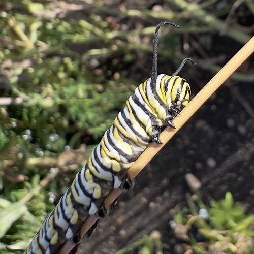
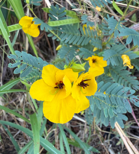

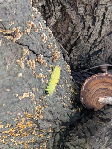
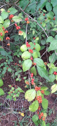
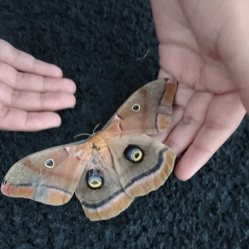
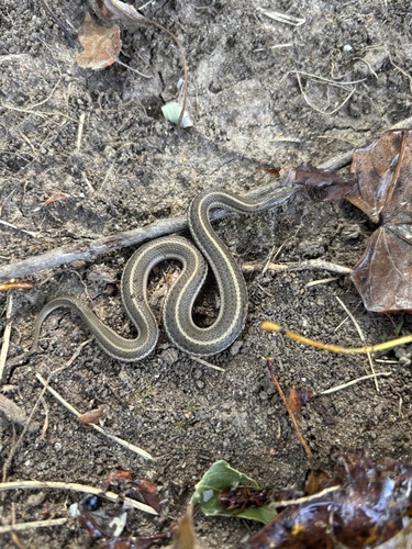
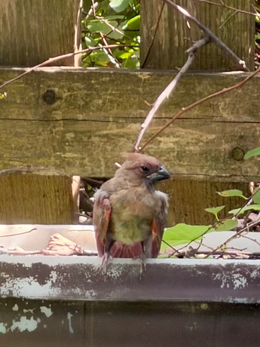
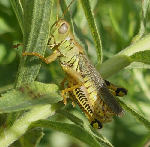
Research-grade observations from iNaturalist (within ~15 mi).
Nearest stream gauge
Events
Gallery
Sources
- • Wikipedia
- • US Census Bureau (ACS 5-year estimates)
- • NOAA National Weather Service
- • Wikidata
- • NCES via Urban Institute Education Data Portal
- • iNaturalist
- • CDC PLACES
- • Open-Meteo / sunrise-sunset.org
- • Wikipedia Pageviews API
- • Open Library
- • NASA EONET