Browse / United States / Kansas / Topeka
Topeka
Kansascity

Topeka
Total population
125,475
Median home value
$163,300
Bachelor's+
Median income
$61,030
Founded
1854
Demographic figures from US Census Bureau · ACS 5-year estimates. Overview below cites Wikipedia and may reference a different year.
City facts
Facts from Wikidata (CC0).
Overview
Topeka is the capital city of the U.S. state of Kansas and the county seat of Shawnee County. It is along the Kansas River in the central part of Shawnee County, within northeastern Kansas and the Central United States. The population of the city was 126,587 as of the 2020 census. The five-county Topeka metropolitan area has approximately 233,000 residents.
Read more on WikipediaHistory & geography
History
The name "Topeka" is a Kansa-Osage word that means "place where we dig potatoes", or "a good place to dig potatoes". As a placename, Topeka was first recorded in 1826 as the Kansa name for the Kansas River. Topeka's founders chose the name in 1855 because it "was novel, of Indian origin, and euphonious of sound". Mixed-heritage Kansa Native American Joseph James, called Jojim, is credited with suggesting Topeka's name. For many millennia, Native Americans inhabited the Great Plains of North America. From the 16th to the mid-18th centuries, the Kingdom of France laid claim to large parts of North America. In 1762, late in the French and Indian War, France secretly ceded Louisiana west of the Mississippi River to Spain in the Treaty of Fontainebleau. In 1800, Spain returned Louisiana to France. In 1803, the United States purchased the territory, which included most of the land of modern Kansas, from France for $15 million (~$ in ). In the 1840s, wagon trains made their way west from Independence, Missouri, on a journey of , following what came to be known as the Oregon Trail. About west of Kansas City, Missouri, three half-Kansas Indian sisters married to the French-Canadian Pappan brothers established a ferry service allowing travelers to cross the Kansas River at what became Topeka. During the 1840s and into the 1850s, travelers could reliably find a way across the river, but little else was in the area. In the early 1850s, traffic along the Oregon Trail was supplemented by trade on a new military road stretching from Fort Leavenworth through Topeka to the newly established Fort Riley. In 1854, after completion of the first cabin, nine men established the Topeka Town Association. The group included Cyrus K. Holliday, an "idea man", who became mayor of Topeka and…
Geography
Topeka is in north east Kansas at the intersection of I-70 and U.S. Highway 75. It is the origin of I-335 which is a portion of the Kansas Turnpike running from Topeka to Emporia, Kansas. Topeka is also on U.S. Highway 24 (about east of Manhattan, Kansas) and U.S. Highway 40 (about west of Lawrence, Kansas). US 40 is coincident with I-70 west from Topeka. According to the United States Census Bureau, the city has a total area of , of which are covered by water. Topeka has a humid continental climate (Köppen climate classification Dfa, Trewartha climate classification Dcao) or a humid subtropical climate (Köppen Cfa) using the isotherm, with hot, somewhat humid summers and cool to cold, fairly dry winters, and is in USDA plant hardiness zone 6a. Over the course of a year, the monthly daily average temperature ranges from in January to in July. The maximum temperature reaches an average of 49.6 afternoons per year and reaches an average of 6.0 afternoons per year. The minimum temperature falls below an average of 2.7 mornings per year, and 21.7 afternoons per year stay below freezing. |source 2 = National Weather Service }}
Excerpted from the corresponding Wikipedia article (CC BY-SA).
Demographics & economy
Race & ethnicity
Source: US Census Bureau — American Community Survey, 5-year estimates.
Geography
Coordinates & boundaries from the US Census TIGER/Line shapefiles.
Climate
Current forecast
Forecast for Topeka, KS from NOAA NWS API.
Air quality
Industrial & pollution facilities
Natural hazard risk
Health (adults)
Age-adjusted prevalence estimates from CDC PLACES (latest release).
Walkability
Amenities nearby
Wildlife & biodiversity
Most-observed species
- Northern CardinalCardinalis cardinalis (Linnaeus, 1758) · Aves8,270
- Blue JayCyanocitta cristata (Linnaeus, 1758) · Aves7,245
- Black-capped ChickadeePoecile atricapillus (Linnaeus, 1766) · Aves6,791
- American RobinTurdus migratorius Linnaeus, 1766 · Aves6,493
- Red-bellied WoodpeckerMelanerpes carolinus (Linnaeus, 1758) · Aves6,011
- Mourning DoveZenaida macroura (Linnaeus, 1758) · Aves5,632
- American CrowCorvus brachyrhynchos C.L.Brehm, 1822 · Aves5,556
- Tufted TitmouseBaeolophus bicolor (Linnaeus, 1766) · Aves5,405
Citizen-science & research observations from the Global Biodiversity Information Facility (GBIF).
Schools
Largest nearby schools
- Washburn Rural HighHigh · Topeka · 1,884 students · 14.5:1 ratio
- Topeka HighHigh · Topeka · 1,514 students · 16.1:1 ratio
- Shawnee Heights HighHigh · Tecumseh · 1,293 students · 19:1 ratio
- Seaman HighHigh · Topeka · 1,239 students · 15.5:1 ratio
- Topeka West HighHigh · Topeka · 1,085 students · 16.7:1 ratio
- Washburn Rural Middle SchoolMiddle · Topeka · 943 students · 11.8:1 ratio
- Highland Park HighHigh · Topeka · 857 students · 16.2:1 ratio
- Jardine ElementaryElementary · Topeka · 743 students · 13.8:1 ratio
Public K–12 schools within ~10 mi from Urban Institute Education Data Portal (NCES Common Core of Data, 2022).
Earthquake history
Photos
Sights & places nearby
Notable people from here


People born within ~10 km, from Wikidata (CC0). Click any name for their Wikipedia article.
Nearby places in Kansas
- Wakarusa9.7 mi away · pop. 209
- Auburn10.9 mi away · pop. 1,144
- Willard13.9 mi away · pop. 67
- Hoyt14.8 mi away · pop. 935
- Maple Hill18.2 mi away · pop. 772
- Williamstown19.6 mi away
- Lawrence23.8 mi away · pop. 97,265
- Newbury25.9 mi away · pop. 50
- Vassar27.1 mi away · pop. 832
- Belvue28.8 mi away · pop. 175
- McFarland29.2 mi away · pop. 363
- Holton30.1 mi away · pop. 3,387
Geography & sun
Elevation, sunrise/sunset and daylight from Open-Meteo. Solar climatology from NASA POWER.
Nearby airports
Public attention
Pageview totals from the Wikimedia Pageviews API.
Books about Topeka



Search results from Open Library.
Recent natural events nearby
- Wildfire BISON, Osage, OklahomaWildfires · 2026-08-21 · 153 mi
- Wildfire B.B, Osage, OklahomaWildfires · 2026-08-06 · 153 mi
Wildfires, storms and other events from NASA EONET (last 12 months, within 250 mi).
Ground air-quality sensors
Recently spotted species
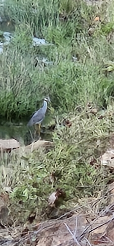
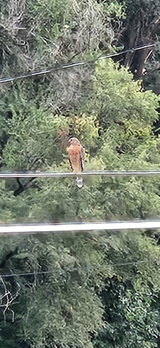
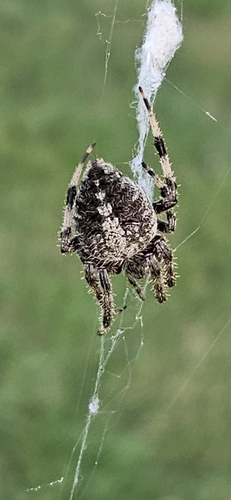
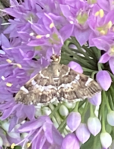
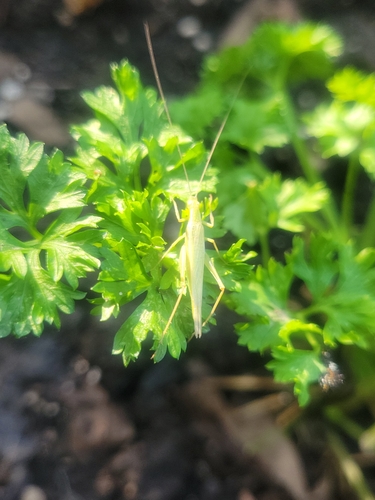
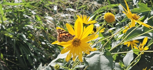
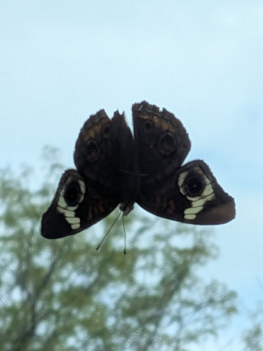

Research-grade observations from iNaturalist (within ~15 mi).
Nearest stream gauge
Events
Gallery
Sources
- • Wikipedia
- • US Census Bureau (ACS 5-year estimates)
- • NOAA National Weather Service
- • Wikidata
- • NCES via Urban Institute Education Data Portal
- • GBIF (Global Biodiversity Information Facility)
- • iNaturalist
- • CDC PLACES
- • Open-Meteo / sunrise-sunset.org
- • Wikipedia Pageviews API
- • Open Library
- • NASA EONET