Browse / United States / Kentucky / Berea
Berea
Kentuckycity

Berea
Total population
15,786
Median home value
$199,900
Bachelor's+
Median income
$59,495
Demographic figures from US Census Bureau · ACS 5-year estimates. Overview below cites Wikipedia and may reference a different year.
City facts
Overview
Berea is a home rule-class city in Madison County, Kentucky, in the United States. The city is best known for its art festivals, historic restaurants and buildings, and as the home to Berea College, a private liberal arts college. The population was 15,539 at the 2020 census. It is one of the fastest-growing cities in Kentucky, having increased by 27.4% since 2000. Berea is a principal city of the Richmond−Berea Micropolitan Statistical Area, which includes Madison and Rockcastle counties. It was formally incorporated by the state assembly in 1890.
Read more on WikipediaHistory & geography
History
The history of Berea is tied with the history of Berea College, which was founded in 1855. The Berea railway station was created in 1882 as part of the Kentucky Central Railroad, and later the Louisville and Nashville Railroad (L&N).
Geography
According to the United States Census Bureau, the city has a total area of , of which is land and (0.32%) is water. The city is located along Interstate 75, which runs to the west of downtown, with access from exits 76 and 77. Via I-75, Lexington is north, and Knoxville, Tennessee is south. U.S. Route 25 is the main highway through the center of city, leading north to Richmond, the Madison County seat, and south to Mount Vernon. Kentucky Route 21 also runs through the city as well, leading east to Bighill and northwest to Paint Lick. Berea is located on the border of the Cumberland Plateau. The area has a mountainous appearance, but most outcroppings in the area have a maximum elevation of . Berea has a humid subtropical climate, with hot summers and relatively cold winters. Summers tend to be humid and sunny, with occasional storms, while winters are generally cold with many milder periods.
Excerpted from the corresponding Wikipedia article (CC BY-SA).
Demographics & economy
Race & ethnicity
Source: US Census Bureau — American Community Survey, 5-year estimates.
Geography
Coordinates & boundaries from the US Census TIGER/Line shapefiles.
Climate
Current forecast
Forecast for Berea, KY from NOAA NWS API.
Air quality
Industrial & pollution facilities
Natural hazard risk
Health (adults)
Walkability
Amenities nearby
Wildlife & biodiversity
Most-observed species
- Northern CardinalCardinalis cardinalis (Linnaeus, 1758) · Aves5,547
- Blue JayCyanocitta cristata (Linnaeus, 1758) · Aves4,528
- Mourning DoveZenaida macroura (Linnaeus, 1758) · Aves4,395
- American RobinTurdus migratorius Linnaeus, 1766 · Aves4,382
- Carolina WrenThryothorus ludovicianus (Latham, 1790) · Aves3,743
- House FinchHaemorhous mexicanus (P.L.Statius Müller, 1776) · Aves3,693
- Tufted TitmouseBaeolophus bicolor (Linnaeus, 1766) · Aves3,683
- European StarlingSturnus vulgaris Linnaeus, 1758 · Aves3,476
Citizen-science & research observations from the Global Biodiversity Information Facility (GBIF).
Schools
Earthquake history
Most recent
- M 3.09 — 2025-12-2811 km ENE of Lancaster, Kentucky
- M 2.75 — 2025-05-1111 km SE of High Bridge, Kentucky
- M 2.63 — 2023-08-0411 km ENE of Lancaster, Kentucky
- M 2.64 — 2023-01-124 km E of Burgin, Kentucky
- M 2.67 — 2019-10-1221 km ENE of Somerset, Kentucky
- M 2.72 — 2018-01-2213 km ENE of Flat Lick, Kentucky
Events from the USGS Earthquake Catalog (global) (FDSN Event Web Service).
Photos
Sights & places nearby
Notable people from here
Nearby places in Kentucky
Geography & sun
Elevation, sunrise/sunset and daylight from Open-Meteo. Solar climatology from NASA POWER.
Nearby airports
Public attention
Pageview totals from the Wikimedia Pageviews API.
Books about Berea

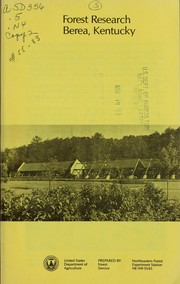
Search results from Open Library.
Recent natural events nearby
Ground air-quality sensors
Recently spotted species
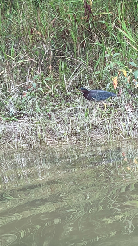
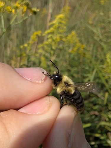
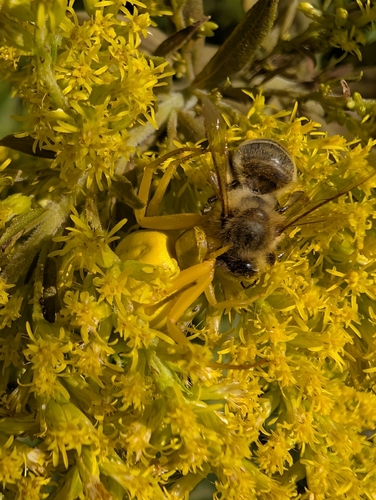
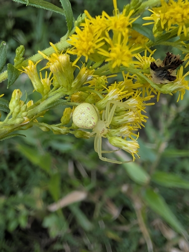
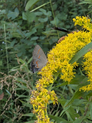
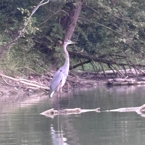
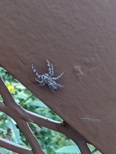
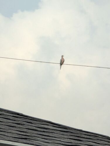
Research-grade observations from iNaturalist (within ~15 mi).
Nearest stream gauge
Events
Gallery
Sources
- • Wikipedia
- • US Census Bureau (ACS 5-year estimates)
- • NOAA National Weather Service
- • USGS Earthquake Catalog (global feed)
- • GBIF (Global Biodiversity Information Facility)
- • iNaturalist
- • Open-Meteo / sunrise-sunset.org
- • Wikipedia Pageviews API
- • Open Library