Browse / United States / Kentucky / Prestonsburg
Prestonsburg
Kentuckycity

Prestonsburg
Total population
3,765
Median home value
$161,300
Bachelor's+
Median income
$25,746
Founded
1818
Demographic figures from US Census Bureau · ACS 5-year estimates. Overview below cites Wikipedia and may reference a different year.
City facts
Facts from Wikidata (CC0).
Overview
Prestonsburg is a home rule-class city in and the county seat of Floyd County, Kentucky, United States. It is in the eastern part of the state in the valley of the Big Sandy River. As of the 2020 census, Prestonsburg had a population of 3,681.
Read more on WikipediaHistory & geography
History
The area was part of the grant in the early 1700s to the family of John Preston's wife, born Elizabeth Patton, which he administered on her behalf. The grant was intended to permit British colonization beyond the Blue Ridge Mountains, but subsequent French and Indian resistance and a reversal of British policy limited its impact. The land was not settled until John Spurlock of Montgomery County, Virginia, arrived in 1791. He laid out the town of "Preston's Station" in 1797. The post office was known as "Floyd Court House" from its establishment in 1816 until the late 1820s, when it was renamed "Prestonsburg". On January 10, 1862, nearby Middle Creek National Battlefield was the scene of the largest battle of the Civil War to occur in Eastern Kentucky. The town was also the site of one of the worst school bus disasters in American history on February 28, 1958. The town had a pack horse library in the late 1930s to bring library materials to rural mountain residents.
Geography
Prestonsburg is in northern Floyd County in the eastern part of the state, along the banks of the Levisa Fork of the Big Sandy River. It is south of Paintsville and northwest of Pikeville. According to the United States Census Bureau, Prestonsburg has an area of , of which is land and , or 1.52%, is water.
Excerpted from the corresponding Wikipedia article (CC BY-SA).
Demographics & economy
Race & ethnicity
Source: US Census Bureau — American Community Survey, 5-year estimates.
Geography
Coordinates & boundaries from the US Census TIGER/Line shapefiles.
Climate
Current forecast
Forecast for Prestonsburg, KY from NOAA NWS API.
Air quality
Industrial & pollution facilities
Natural hazard risk
Health (adults)
Walkability
Amenities nearby
Wildlife & biodiversity
Schools
Earthquake history
Photos
Sights & places nearby
Notable people from here


People born within ~10 km, from Wikidata (CC0). Click any name for their Wikipedia article.
Nearby places in Kentucky
- Dwale4.2 mi away · pop. 170
- Allen5.2 mi away · pop. 157
- Van Lear6.6 mi away
- West Van Lear7 mi away
- Martin7.9 mi away · pop. 494
- Paintsville9.8 mi away · pop. 4,203
- Maytown10.4 mi away · pop. 11
- Betsy Layne11.8 mi away
- McDowell15.4 mi away · pop. 718
- Wayland15.7 mi away · pop. 316
- Salyersville16.8 mi away
- Wheelwright23.8 mi away · pop. 964
Geography & sun
Elevation, sunrise/sunset and daylight from Open-Meteo. Solar climatology from NASA POWER.
Nearby airports
Public attention
Pageview totals from the Wikimedia Pageviews API.
Books about Prestonsburg
Search results from Open Library.
Recent natural events nearby
Ground air-quality sensors
Recently spotted species
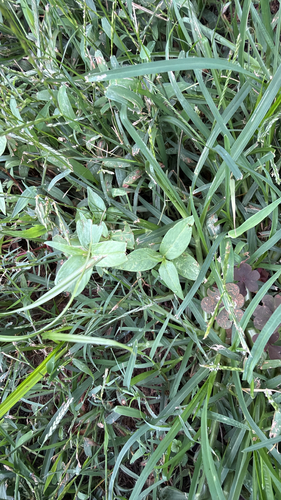
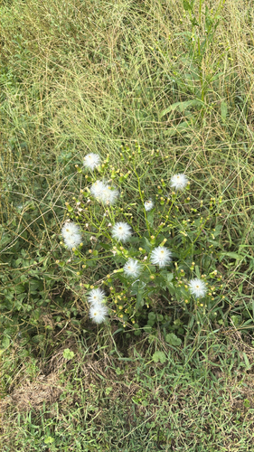
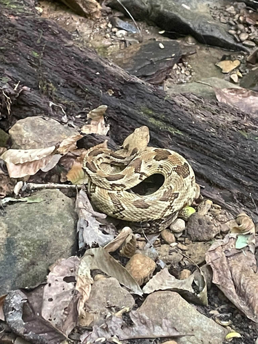



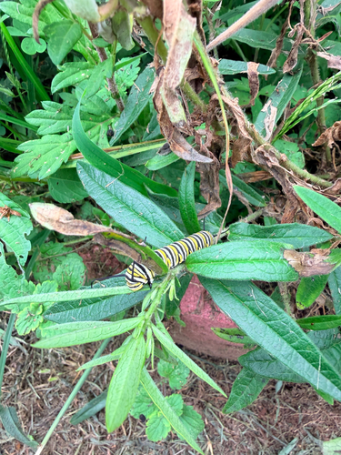


Research-grade observations from iNaturalist (within ~15 mi).
Nearest stream gauge
Events
Gallery
Sources
- • Wikipedia
- • US Census Bureau (ACS 5-year estimates)
- • NOAA National Weather Service
- • Wikidata
- • iNaturalist
- • Open-Meteo / sunrise-sunset.org
- • Wikipedia Pageviews API
- • Open Library