Browse / Sri Lanka / Central / Dolosbage
Dolosbage
Centraltown
No image yet
Total population
6,000
Coordinates7.08°, 80.47°
Demographic figures from Department of Census and Statistics, Sri Lanka. Overview below cites Wikipedia and may reference a different year.
Loading additional data from public sources…0 / 11
CensusWikipediaWeatherPlacesPeopleEnvironmentHealth & SchoolsRelatedGeography & CultureLive MonitoringEvents & Gallery
0% completeCity facts
Overview
Dolosbage is a village in the Kandy District, Central Province, Sri Lanka. The Raxawa and Kabaragala rocks are the main landmarks of this area. Dolosbage has many tea estates started during the colonial era. It has a cold climate due to its elevated position.
Read more on WikipediaHistory & geography
Geography
Latitude
7.0817
Longitude
80.4701
Water area
—
Coordinates & boundaries from the US Census TIGER/Line shapefiles.
Climate
Air quality
Walkability
Amenities nearby
Wildlife & biodiversity
Earthquake history
Photos
Sights & places nearby
Notable people from here
Nearby places in Central
- Hapugastalawa7.3 mi away · pop. 10,000
- Ethgala7.6 mi away · pop. 10,000
- Mariyawatte8.1 mi away · pop. 6,000
- Watadeniya9.5 mi away · pop. 8,000
- Bothalapitiya9.9 mi away · pop. 5,000
- Wegiriya10.4 mi away · pop. 5,000
- Buwelikada11.5 mi away · pop. 8,000
- Koshinna13.5 mi away · pop. 5,000
- Angunawala13.7 mi away · pop. 5,000
- Hatton15.8 mi away · pop. 16,200
- Gamini Pura16 mi away · pop. 5,000
- Aladeniya18.6 mi away · pop. 5,000
Geography & sun
Avg solar (kWh/m²/day)
5.19
Annual solar (kWh/m²)
1,895
Elevation, sunrise/sunset and daylight from Open-Meteo. Solar climatology from NASA POWER.
Nearby airports
Public attention
Wikipedia views (last 30 days)
222
Avg daily Wikipedia views
7
Attention level
Obscure
Pageview totals from the Wikimedia Pageviews API.
Books about this place
Recent natural events nearby
Ground air-quality sensors
Recently spotted species
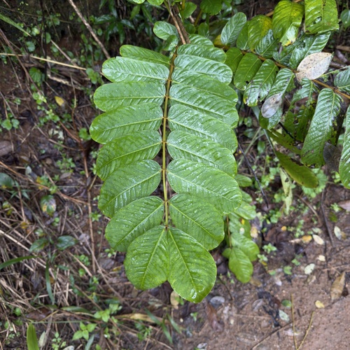
Candelabra Bush
Senna alata
Seen 2026-09-25
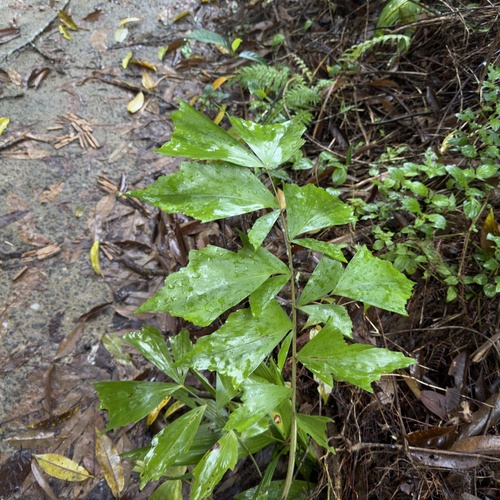
Jaggery palm
Caryota urens
Seen 2026-09-25
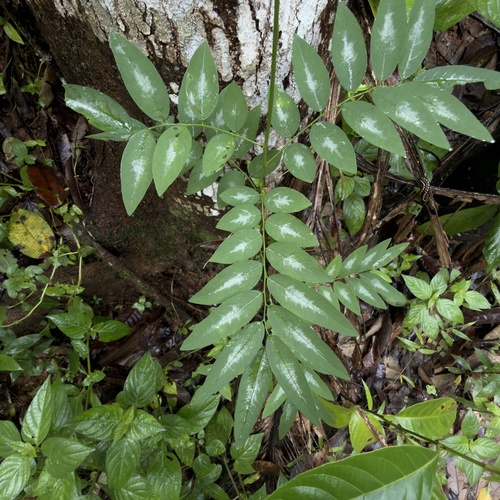
Star gooseberry
Breynia androgyna
Seen 2026-09-25
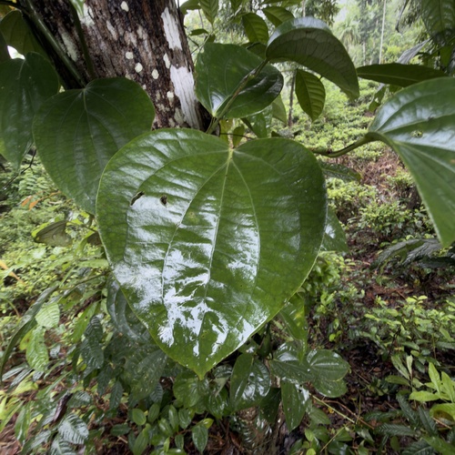
Black Pepper
Piper nigrum
Seen 2026-09-25
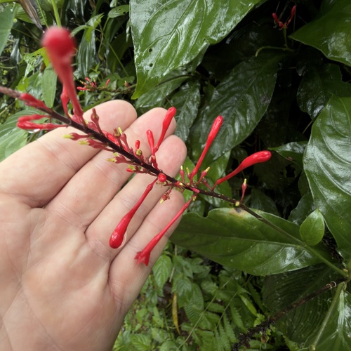
Firespike
Odontonema tubaeforme
Seen 2026-09-25
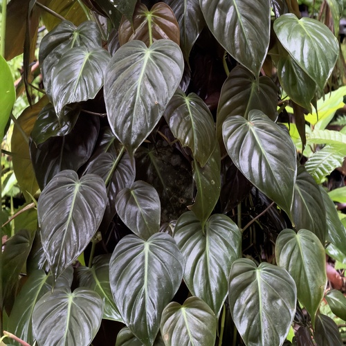
heart-leaf philodendron
Philodendron hederaceum
Seen 2026-09-25
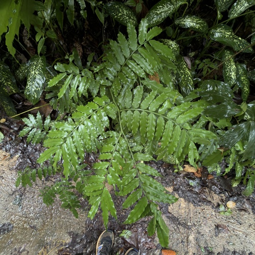
king fern
Angiopteris evecta
Seen 2026-09-25
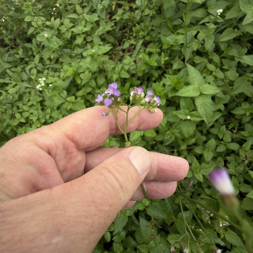
little ironweed
Cyanthillium cinereum
Seen 2026-09-24
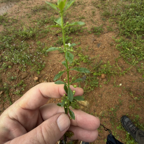
Licorice Weed
Scoparia dulcis
Seen 2026-09-24
Research-grade observations from iNaturalist (within ~15 mi).
Events
Gallery
Sources
- • Wikipedia
- • iNaturalist
- • Open-Meteo / sunrise-sunset.org
- • Wikipedia Pageviews API