Browse / Sri Lanka / Central / Gampola
Gampola
Centraltown

Gampola
Total population
27,600
Demographic figures from Department of Census and Statistics, Sri Lanka. Overview below cites Wikipedia and may reference a different year.
City facts
Facts from Wikidata (CC0).
Overview
Gampola is a town located in Kandy District, in Sri Lanka's Central Province. The town is governed by an Urban Council. Gampola was made the capital of the island by King Buwanekabahu IV, who ruled for four years in the mid-fourteenth century. The last king of Gampola was King Buwanekabahu V, who ruled the island for 29 years. A separate city was built in Kotte during this time by a noble known as Alagakkonara. The longest sleeping Buddha statue in South Asia is located in the Saliyalapura Temple, Gampola.
Read more on WikipediaHistory & geography
Geography
Gampola, or so called Gangasiripura because of the Mahaweli (Mahaweli Ganga) flowing by its side, is a town which is located at an altitude of , situated in a valley surrounded by hills and located near to Kandy. Geologically the region belongs to the Highland Complex of Sri Lanka and major rock formation is Precambrian charnockite gneiss with strips of quartz and biotite gneiss here and there. Soil profile of the region could identify as Red Yellow Podzolic soils and Mountain Regosols. Mean annual rainfall is in between and mean annual temperature is in between . Due to the geomorphology of the Gampola and its vicinity, which characterised by steep hills stand from plain, it was declared as a landslide prone area. However, with its flat terrain with being a catchment area of River Mahaweli, our region has become highly used in agricultural purposes both in traditional (paddy, chena, home gardens) and industrial plantations (majorly tea). Tea, natural forests, mixed home gardens, steeply dissected hilly and rolling, soil profile with the prominent A1 horizon and lithosol soils can be considered as its unique ecological background. Administratively, Gampola is an urban council belongs to the Kandy district of Central Province. In traditional administration region system, it once belonged to the Maya rata before the 13th cent. AD and in Kandy period to the Ganga Pahala Koralaya of Uda Palatha of Kandy district.
Excerpted from the corresponding Wikipedia article (CC BY-SA).
Geography
Coordinates & boundaries from the US Census TIGER/Line shapefiles.
Climate
Air quality
Walkability
Amenities nearby
Wildlife & biodiversity
Earthquake history
Photos
Sights & places nearby
Notable people from here

People born within ~10 km, from Wikidata (CC0). Click any name for their Wikipedia article.
Nearby places in Central
- Mariyawatte0.9 mi away · pop. 6,000
- Bothalapitiya1 mi away · pop. 5,000
- Wegiriya2 mi away · pop. 5,000
- Watadeniya2.4 mi away · pop. 8,000
- Buwelikada3.6 mi away · pop. 8,000
- Koshinna5.1 mi away · pop. 5,000
- Angunawala5.4 mi away · pop. 5,000
- Hapugastalawa7.5 mi away · pop. 10,000
- Ampitiya9.8 mi away · pop. 10,000
- Lewella11 mi away · pop. 5,000
- Wathuwala11.4 mi away · pop. 5,000
- Aladeniya11.6 mi away · pop. 5,000
Geography & sun
Elevation, sunrise/sunset and daylight from Open-Meteo. Solar climatology from NASA POWER.
Nearby airports
Public attention
Pageview totals from the Wikimedia Pageviews API.
Books about this place
Recent natural events nearby
Ground air-quality sensors
Recently spotted species
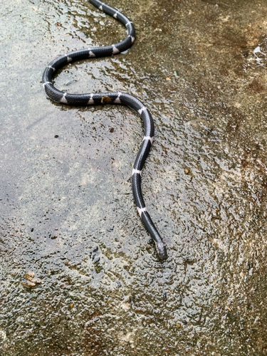
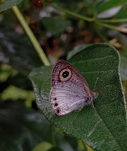
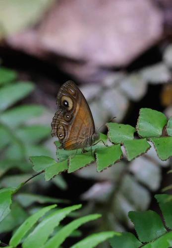
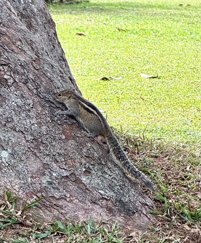
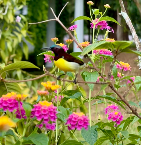
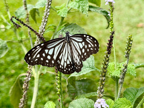
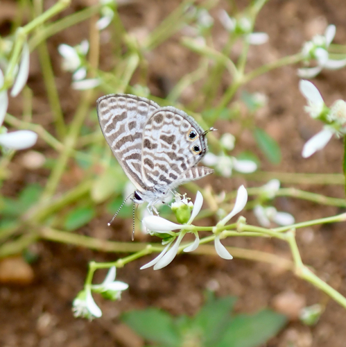
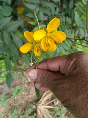
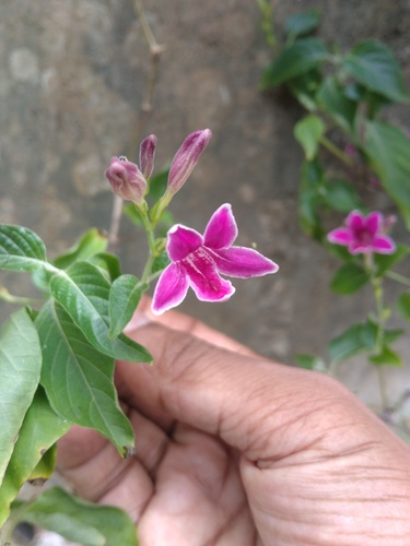
Research-grade observations from iNaturalist (within ~15 mi).
Events
Gallery
Sources
- • Wikipedia
- • Wikidata
- • iNaturalist
- • Open-Meteo / sunrise-sunset.org
- • Wikipedia Pageviews API