Browse / Sri Lanka / Southern / Hikkaduwa
Hikkaduwa
Southerntown

Hikkaduwa
Total population
101,342
Demographic figures from Department of Census and Statistics, Sri Lanka. Overview below cites Wikipedia and may reference a different year.
City facts
Overview
Hikkaduwa, in south-west of Sri Lanka, is a large coastal area with eleven different villages over 6.5 km (4.0 mi) on the Indian Ocean, and 3 km (1.9 mi) inland, in the Galle District.
Read more on WikipediaHistory & geography
History
In the 19th century, during the British Ceylon period, Hikkaduwa region was "the great resort of picnic parties from Galle" (Galle was the largest city in southern Ceylon). Its economy was based on fishing and coconut cultivation, which was replaced by tourism when its golden sandy beaches were widely discovered. In the 1960s, many hippies came to live in Hikkaduwa, which was nicknamed Hippiduwa. The largest rail disaster in history has been caused in Hikkaduwa by the 2004 tsunami.
Geography
Located in the Southern Province, Hikkaduwa is about north-west of Galle and south of Colombo. The Hikkaduwa region is divided into several main geographic zones (from north to south): going east, and also serving as a bus bypass). * Tourist Hub (from Baddegama Road to Narigama): with numerous hotels and restaurants, encompassing the Marine National Park and Turtle beach. * Tourist Hotspot (Wewala, from Turtle beach to Narigama): contains large hotels (Hikka Tranz, Citrus), retail facilities, banks, numerous restaurants, bars, and dance clubs. * Narigama (from Wewala to Thiranagama): on the ocean side, a lower-density tourist area with many hotels, restaurants and few dance clubs; becoming partly residential inland. * Thiranagama (from Narigama to Patuwatha): the upscale area where 5-star hotels are located (Haritha Villas, Riff Hotel)
Excerpted from the corresponding Wikipedia article (CC BY-SA).
Geography
Coordinates & boundaries from the US Census TIGER/Line shapefiles.
Climate
Air quality
Walkability
Amenities nearby
Wildlife & biodiversity
Earthquake history
Photos
Sights & places nearby
Notable people from here
Nearby places in Southern
- Ambalangoda7.6 mi away · pop. 21,500
- Pahala Keembiya8.8 mi away
- Kahaduwa9.8 mi away · pop. 5,000
- Labuduwa10.5 mi away · pop. 5,000
- Thotagoda10.5 mi away · pop. 5,000
- Hiyare13.2 mi away · pop. 5,000
- Manampita13.9 mi away · pop. 5,000
- Uragasmanhandiya14.1 mi away · pop. 15,000
- Thalgampala14.3 mi away · pop. 5,000
- Heenatigala Junction14.7 mi away · pop. 5,000
- Udugama16.9 mi away · pop. 15,000
- Induruwa17.3 mi away · pop. 10,000
Geography & sun
Elevation, sunrise/sunset and daylight from Open-Meteo. Solar climatology from NASA POWER.
Nearby airports
Public attention
Pageview totals from the Wikimedia Pageviews API.
Books about this place
Recent natural events nearby
Ground air-quality sensors
Recently spotted species
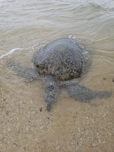
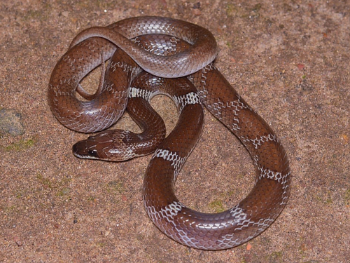
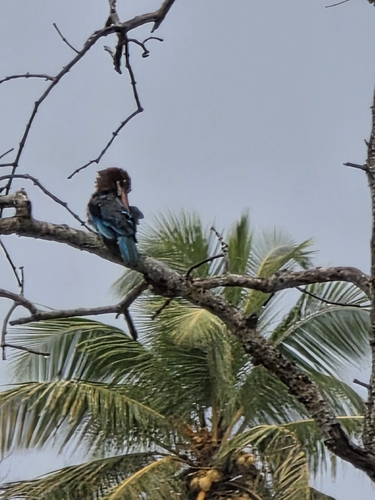
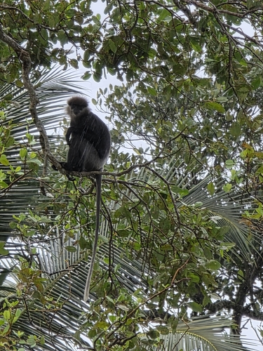
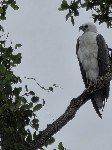
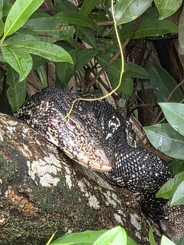
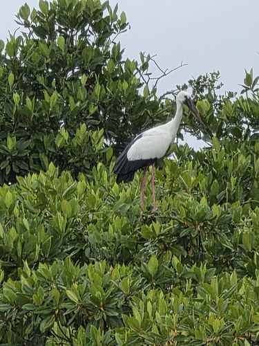
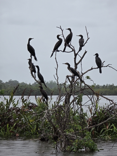
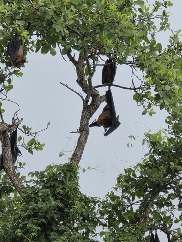
Research-grade observations from iNaturalist (within ~15 mi).
Events
Gallery
Sources
- • Wikipedia
- • iNaturalist
- • Open-Meteo / sunrise-sunset.org
- • Wikipedia Pageviews API