Browse / Libya / Al Jafara / Sidi As Sayeh
Sidi As Sayeh
Al Jafaravillage
Demographic figures from Bureau of Statistics and Census (Libya). Overview below cites Wikipedia and may reference a different year.
City facts
Overview
Sidi As Sayeh is a village located in Al Jafara, Libya. Located at 32.561°, 13.254°, Sidi As Sayeh occupies a warm-temperate portion of the northern hemisphere. Up-to-date population figures for this locality are not available in the open datasets we monitor. Solar-resource estimates put the area at about 2,021 kWh/m² of solar irradiance per year with sunshine for roughly 79% of daylight hours. Climatically, locations at this latitude tend to experience warm summers and cool winters. Read on for charts and tables covering demographics, climate, hazards, schools, wildlife and other open-data indicators for Sidi As Sayeh.
Summary composed automatically from structured open data on this page. See our Terms for details.
History & geography
Geography
Coordinates & boundaries from the US Census TIGER/Line shapefiles.
Climate
Air quality
Walkability
Amenities nearby
Wildlife & biodiversity
Most-observed species
- Culicoides imicola Kieffer, 1913Culicoides imicola Kieffer, 1913 · Insecta62
- Culicoides dewulfi Goetghebuer, 1936Culicoides dewulfi Goetghebuer, 1936 · Insecta62
- Culicoides chiopterus (Meigen, 1830)Culicoides chiopterus (Meigen, 1830) · Insecta62
- Culicoides obsoletus (Meigen, 1818)Culicoides obsoletus (Meigen, 1818) · Insecta61
- Culicoides kingi (Austen, 1912)Culicoides kingi (Austen, 1912) · Insecta61
- Ceratopogon punctatus Meigen, 1804Ceratopogon punctatus Meigen, 1804 · Insecta61
- Culicoides pulicaris (Linnaeus, 1758)Culicoides pulicaris (Linnaeus, 1758) · Insecta60
- Culicoides newsteadi Austen, 1921Culicoides newsteadi Austen, 1921 · Insecta60
Citizen-science & research observations from the Global Biodiversity Information Facility (GBIF).
Earthquake history
Most recent
- M 4.2 — 2025-05-1062 km NE of Tājūrā’, Libya
- M 4.7 — 2013-05-112 km WNW of Al Ajaylat, Libya
Events from the USGS Earthquake Catalog (global) (FDSN Event Web Service).
Photos
Sights & places nearby
Notable people from here
Nearby places in Al Jafara
- Bir Al Alam9.6 mi away
- Qasr Bin Ghashir9.7 mi away · pop. 6,569
- Al Kayakh10 mi away
- Al Gew10.3 mi away
- la Cazarma10.6 mi away
- Twaishah11.8 mi away
- Al Tughar13.7 mi away
- Al Aziziya13.9 mi away · pop. 23,399
- Sawani Bin Adam15.1 mi away
- Bir Al jadeed15.1 mi away
- Ghut Abu Sag16.8 mi away
- Funduq al shibani17.1 mi away
Geography & sun
Elevation, sunrise/sunset and daylight from Open-Meteo. Solar climatology from NASA POWER.
Nearby airports
Public attention
Books about this place
Recent natural events nearby
Ground air-quality sensors
Recently spotted species
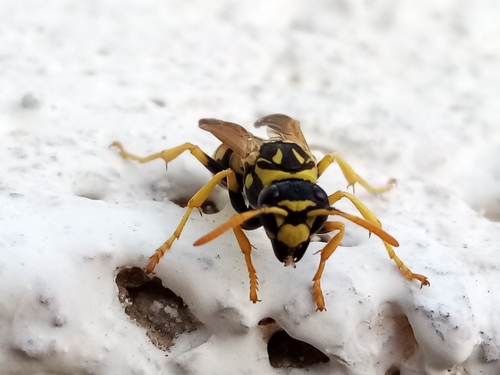
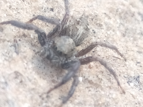
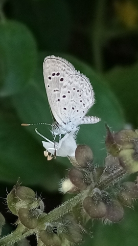
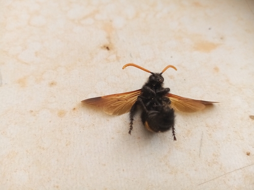
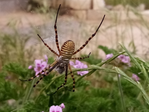
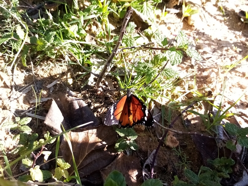
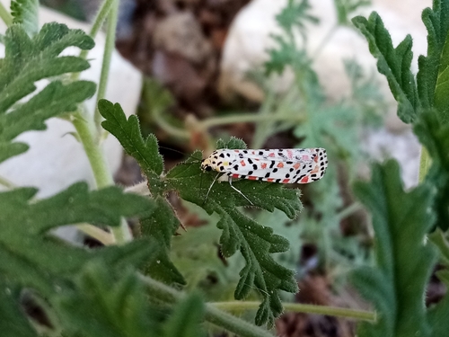
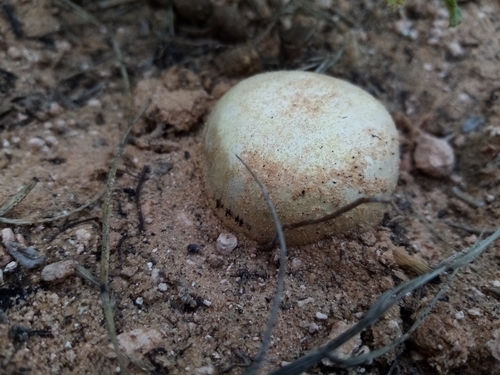
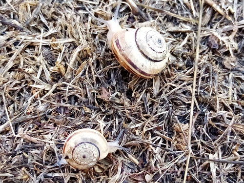
Research-grade observations from iNaturalist (within ~15 mi).
Events
Gallery
Sources
- • Wikidata
- • USGS Earthquake Catalog (global feed)
- • GBIF (Global Biodiversity Information Facility)
- • iNaturalist
- • Open-Meteo / sunrise-sunset.org