Browse / United States / Massachusetts / Chicopee
Chicopee
Massachusettscity

Chicopee
Total population
55,295
Median home value
$274,500
Bachelor's+
Median income
$62,615
Founded
1640
Demographic figures from US Census Bureau · ACS 5-year estimates. Overview below cites Wikipedia and may reference a different year.
- Severe Thunderstorm Warning · SevereSevere Thunderstorm Warning issued October 16 at 5:52PM EDT until October 16 at 6:45PM EDT by NWS Boston/Norton MA
Source: NOAA National Weather Service.
City facts
Facts from Wikidata (CC0).
Overview
Chicopee is a city located on the Connecticut River in Hampden County, Massachusetts, United States. At the 2020 census, the city had a population of 55,560, making it the second-largest city in western Massachusetts after Springfield. Chicopee is part of the Springfield, Massachusetts Metropolitan Statistical Area. The communities of Chicopee Center (Cabotville), Chicopee Falls, Willimansett, Fairview, Aldenville, Burnett Road, Smith Highlands and Westover are located within the city.
Read more on WikipediaHistory & geography
History
"Chicopee" is derived from the Nipmuc language. It is likely derived from chekee ("violently") and -pe (root suffix used in water place names) or chikkupee ("of red cedar"), an adjectival form of chikkup ("red cedar"). There have been several variant spellings of the name. In 1636, William Pynchon purchased land from the Agawam Indians on the east side of the Connecticut River. He moved from the Town of Roxbury to Springfield to found the first settlement in the area that comprises the territory of today's Chicopee Center (Cabotville). Both Cabotville and the Falls were developed as manufacturing centers (villages). According to local historian Charles J. Seaver, the area above the falls was first settled in 1660. The land purchased from the Indians was divided into districts. Nayasett (Nipmuc for "at the small point/angle") was the name given to the area of what are now Chicopee Center and Chicopee Falls. The settlement in the upper district was at Skipmuck (possibly based on Nipmuc Skipmaug, meaning "chief fishing place" or Shipmuck, meaning "big watery place"), a place above the falls on the south side of the river. Colonists built a sawmill as the first industrial site along the river. The mill was built at Skenungonuck (Nipmuc for "green fields") Falls (now Chicopee Falls) in 1678 by Japhet Chapin, John Hitchcock and Nathaniel Foote. In 1786, ten men leased two acres of land in Chicopee Falls to James Byers and William Smith of Springfield on the condition they build an iron foundry within two years. Byers and Smith built the foundry. Benjamin Belcher acquired the site by 1805 and expanded the foundry. Belcher sold water access and other holdings along the Chicopee River to the Boston Associates, including Jonathan and Edmund Dwight. Access to water power and…
Geography
The city is made up of several neighborhoods; the result of the city's origin as a collection of four villages in the northernmost part of Springfield, which seceded from it in 1848. Chicopee Falls, Chicopee Center (Cabotville), Fairview, and Willimansett continued to develop. In the early 1900s, Aldenville developed as a distinct community. Since then, the city has filled in most of its open space resulting in a number of new neighborhoods. These neighborhoods include Chicomansett, Ferry Lane, Sandy Hill and the geographically isolated Burnett Road neighborhood. The city is bordered by Holyoke to the northwest, West Springfield to the southwest, Springfield to the south, Ludlow to the east, Granby to the northeast and South Hadley to the north. Chicopee is located away from Hartford, away from Boston, from Albany and from New York City. According to the United States Census Bureau, the city has a total area of , of which is land and (4.31%) is water. The Chicopee River flows through the southern part of the city, emptying into the Connecticut River. Many ponds, lakes, and streams are part of the Chicopee River or Connecticut River watersheds. In 1641, Willian Pynchon expanded his 1636 holdings by buying the land from the Chicopee River north to the Willimansett (Nipmuc for "good berries place" or "place of red earth") Brook. Land sales in Chicopee were recorded in 1659, but apparently no homes were built immediately. Winthrop McKinstry writes that the sons of Deacon Samuel Chapin appear to be the first home builders. Henry Chapin is believed to have constructed his at Exchange and West streets (lower Chicopee) in 1664, and Japhet Chapin north of what is now known as James Ferry Road (upper Chicopee) in 1673. It is apparent from McKinstry's book that the…
Excerpted from the corresponding Wikipedia article (CC BY-SA).
Demographics & economy
Race & ethnicity
Source: US Census Bureau — American Community Survey, 5-year estimates.
Geography
Coordinates & boundaries from the US Census TIGER/Line shapefiles.
Climate
Current forecast
Forecast for Chicopee, MA from NOAA NWS API.
Air quality
Industrial & pollution facilities
Natural hazard risk
Health (adults)
Age-adjusted prevalence estimates from CDC PLACES (latest release).
Walkability
Amenities nearby
Wildlife & biodiversity
Most-observed species
- Blue JayCyanocitta cristata (Linnaeus, 1758) · Aves46,037
- Northern CardinalCardinalis cardinalis (Linnaeus, 1758) · Aves43,709
- Black-capped ChickadeePoecile atricapillus (Linnaeus, 1766) · Aves41,008
- American RobinTurdus migratorius Linnaeus, 1766 · Aves40,653
- Tufted TitmouseBaeolophus bicolor (Linnaeus, 1766) · Aves37,562
- Mourning DoveZenaida macroura (Linnaeus, 1758) · Aves36,658
- Song SparrowMelospiza melodia (A.Wilson, 1810) · Aves33,852
- American GoldfinchSpinus tristis (Linnaeus, 1758) · Aves32,734
Citizen-science & research observations from the Global Biodiversity Information Facility (GBIF).
Schools
Largest nearby schools
- Springfield Central HighHigh · Springfield · 2,095 students · 13.1:1 ratio
- Springfield International Charter SchoolOther · Springfield · 1,520 students · 22.7:1 ratio
- Holyoke HighHigh · Holyoke · 1,515 students · 11.8:1 ratio
- Roger L. Putnam Vocational Technical AcademyHigh · Springfield · 1,360 students · 11.1:1 ratio
- Chicopee Comprehensive High SchoolHigh · Chicopee · 1,206 students · 11.4:1 ratio
- West Springfield HighHigh · West Springfield · 1,186 students · 12.8:1 ratio
- High School Of CommerceHigh · Springfield · 1,103 students · 7.9:1 ratio
- Springfield High School of Science and TechnologyHigh · Springfield · 1,087 students · 12.2:1 ratio
Public K–12 schools within ~10 mi from Urban Institute Education Data Portal (NCES Common Core of Data, 2022).
Earthquake history
Most recent
- M 2.6 — 2015-01-132 km E of Wauregan, Connecticut
- M 3.3 — 2015-01-120 km NE of Wauregan, Connecticut
- M 2.66 — 2014-08-146 km SW of Deep River Center, Connecticut
- M 2.5 — 2007-10-192 km WSW of Littleton Common, Massachusetts
- M 2.5 — 2002-06-073 km NNW of Hopedale, Massachusetts
Events from the USGS Earthquake Catalog (global) (FDSN Event Web Service).
Photos
Sights & places nearby
Notable people from here


People born within ~10 km, from Wikidata (CC0). Click any name for their Wikipedia article.
Nearby places in Massachusetts
- Deerfield25.6 mi away · pop. 458
- Pittsfield40 mi away · pop. 43,457
- Cheshire40.2 mi away · pop. 674
- Cochituate63.1 mi away
- Ocean Grove76.5 mi away · pop. 3,453
- Peabody85.4 mi away · pop. 54,695
- Boxford87.6 mi away · pop. 2,284
- Amesbury Town94.5 mi away
- Duxbury97.4 mi away · pop. 1,994
- Bourne105 mi away · pop. 1,806
- Yarmouth Port125 mi away · pop. 5,961
- Harwich Center133 mi away · pop. 1,774
Geography & sun
Elevation, sunrise/sunset and daylight from Open-Meteo. Solar climatology from NASA POWER.
Nearby airports
Public attention
Pageview totals from the Wikimedia Pageviews API.
Books about Chicopee


Search results from Open Library.
Recent natural events nearby
Ground air-quality sensors
Recently spotted species
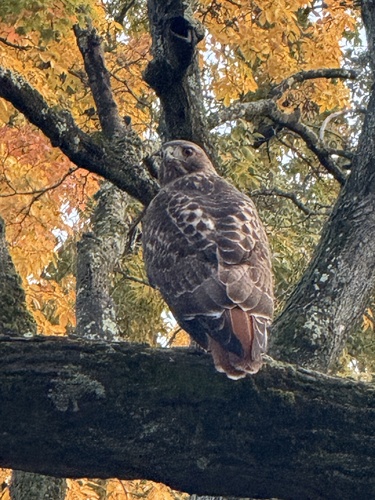

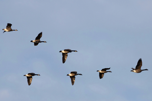
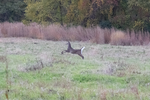
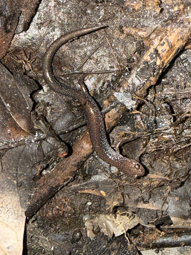
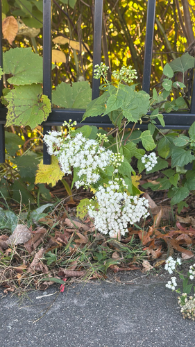
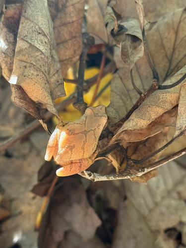
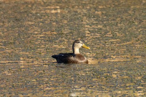
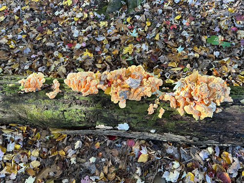
Research-grade observations from iNaturalist (within ~15 mi).
Nearest stream gauge
Live readings from USGS NWIS · measured 2026-10-16 17:30 UTC.
Events
Gallery
Geotagged photos within ~6 miles of Chicopee, from Wikimedia Commons contributors.
 1 mi
1 mi 1 mi
1 mi 1.2 mi
 1.2 mi
 1.2 mi
 1.3 mi
 1.3 mi
 1.4 mi
 1.5 mi
 1.5 mi
 1.5 mi
 1.5 mi
 1.5 mi
 1.5 mi
 1.9 mi
 1.9 mi
 1.9 mi
.jpg) 1.9 mi
1.9 mi 1.9 mi
.jpg) 1.9 mi
1.9 mi 1.9 mi
.jpg) 1.9 mi
1.9 mi 2 mi
2 mi 2 mi
2 miPhotos via Wikimedia Commons — see each image page for license & attribution.
Sources
- • Wikipedia
- • US Census Bureau (ACS 5-year estimates)
- • NOAA National Weather Service
- • Wikimedia Commons
- • Wikidata
- • USGS Earthquake Catalog (global feed)
- • USGS NWIS (water data)
- • NCES via Urban Institute Education Data Portal
- • GBIF (Global Biodiversity Information Facility)
- • iNaturalist
- • CDC PLACES
- • Open-Meteo / sunrise-sunset.org
- • Wikipedia Pageviews API
- • Open Library
- • Wikidata SPARQL (CC0) — population, area, elevation, inception, head of government, Commons image