Browse / United States / Massachusetts / Pittsfield
Pittsfield
Massachusettscity

Pittsfield
Total population
43,457
Median home value
$256,900
Bachelor's+
Median income
$70,582
Founded
1752
Demographic figures from US Census Bureau · ACS 5-year estimates. Overview below cites Wikipedia and may reference a different year.
City facts
Sister cities
Facts from Wikidata (CC0).
Overview
Pittsfield is the most populous city in and the county seat of Berkshire County, Massachusetts, United States. It is the principal city of the Pittsfield, Massachusetts Metropolitan Statistical Area, which encompasses Berkshire County. Pittsfield's population was 43,927 at the 2020 census. Although its population has declined in recent decades, Pittsfield remains the third-largest municipality in Western Massachusetts, behind only Springfield and Chicopee.
Read more on WikipediaHistory & geography
History
The Mohicans, an Algonquian people, inhabited the area that would later come to comprise Pittsfield until the early 18th century, when the population was greatly reduced by war and disease brought by European Colonists. Many migrated westward or were subjugated to live on the fringes of their land. In 1738, wealthy Bostonian Colonel Jacob Wendell bought of land known, originally as "Pontoosuck," from a Mohican word meaning "a field or haven for winter deer," as a speculative investment. He planned to subdivide and resell to others who would settle there. He formed a partnership with Philip Livingston, a wealthy kinsman from Albany, New York, and Col. John Stoddard of Northampton, Massachusetts, who had claim to here. A group of young armed militia men came and began to clear the land in 1743, but the threat of Indian resistance around the time of King George's War soon forced them to leave, and the land remained unoccupied by Englishmen for several years. Soon, many colonists arrived from Westfield, Massachusetts, and a village began to grow, which was incorporated as Pontoosuck Plantation in 1753 by Solomon Deming, Simeon Crofoot, Stephen Crofoot, Charles Goodrich, Jacob Ensign, Samuel Taylor, and Elias Woodward. Mrs. Deming was the first and the last of the original colonists, dying in March 1818 at the age of 92. Solomon Deming died in 1815 at the age of 96. Pittsfield was incorporated in 1761. Royal Governor Sir Francis Bernard named Pittsfield after British nobleman and politician William Pitt. By 1761 there were 200 residents and the plantation became the Township of Pittsfield. By the end of the Revolutionary War, Pittsfield grew to nearly 2,000 residents, including Colonel John Brown, who began accusing Benedict Arnold of being a traitor in 1776, several…
Geography
Pittsfield is at (42.4522, −73.2515). According to the United States Census Bureau, the city has an area of , of which , or 4.70%, are covered by water. Pittsfield is bordered by Lanesborough to the north, Dalton to the east, Washington to the southeast, Lenox to the south, Richmond to the southwest, and Hancock to the west. Pittsfield is northwest of Springfield, west of Worcester, west of Boston, and east of Albany, New York. Most of the population occupies roughly one-quarter of the city's land. Pittsfield lies at the confluence of the east and west branches of the Housatonic River, which flows south from the city towards its mouth at Long Island Sound, some distant. The eastern branch leads down from the hills, and the western branch is fed from Onota Lake and Pontoosuc Lake, which lies partly in Lanesborough. Like much of western Berkshire County, the city lies between the Berkshire Hills to the east and the Taconic Range to the west. Sections of the Housatonic Valley Wildlife Management Area dot the banks of the river. The western portion of the city contains Pittsfield State Forest, an facility with hiking and cross-country skiing trails, camping, picnic areas, and a beach for swimming. Pittsfield is at the crossroads of U.S. Route 7 and U.S. Route 20, which intersect in the city. Massachusetts Route 8 passes through the northeastern corner of town, with a portion of it combined with Route 9, the central east-west road through the western part of the state, which terminates in the city at Route 20. Route 41 begins in the southwestern corner of town, heading south from Route 20. The nearest interstate highway, Interstate 90 (the Massachusetts Turnpike) is about south, in Lee. Long-distance ground transportation in Pittsfield is based at the Joseph…
Excerpted from the corresponding Wikipedia article (CC BY-SA).
Demographics & economy
Race & ethnicity
Source: US Census Bureau — American Community Survey, 5-year estimates.
Geography
Coordinates & boundaries from the US Census TIGER/Line shapefiles.
Climate
Current forecast
Forecast for Pittsfield, MA from NOAA NWS API.
Air quality
Industrial & pollution facilities
Natural hazard risk
Health (adults)
Age-adjusted prevalence estimates from CDC PLACES (latest release).
Walkability
Amenities nearby
Wildlife & biodiversity
Most-observed species
- Black-capped ChickadeePoecile atricapillus (Linnaeus, 1766) · Aves18,560
- American CrowCorvus brachyrhynchos C.L.Brehm, 1822 · Aves18,283
- Blue JayCyanocitta cristata (Linnaeus, 1758) · Aves13,951
- American RobinTurdus migratorius Linnaeus, 1766 · Aves13,936
- Song SparrowMelospiza melodia (A.Wilson, 1810) · Aves13,232
- Canada Goose (canadensis Group)Branta canadensis (Linnaeus, 1758) · Aves12,364
- Northern CardinalCardinalis cardinalis (Linnaeus, 1758) · Aves12,268
- American GoldfinchSpinus tristis (Linnaeus, 1758) · Aves11,930
Citizen-science & research observations from the Global Biodiversity Information Facility (GBIF).
Schools
Largest nearby schools
- Taconic HighHigh · Pittsfield · 860 students · 9.1:1 ratio
- Pittsfield HighHigh · Pittsfield · 651 students · 9.6:1 ratio
- Theodore Herberg MiddleMiddle · Pittsfield · 496 students · 9.5:1 ratio
- Wahconah Regional HighHigh · Dalton · 485 students · 11.8:1 ratio
- John T Reid MiddleMiddle · Pittsfield · 450 students · 8.7:1 ratio
- CranevilleElementary · Dalton · 446 students · 14.9:1 ratio
- Lenox Memorial HighHigh · Lenox · 431 students · 8.6:1 ratio
- EgremontElementary · Pittsfield · 382 students · 11.9:1 ratio
Public K–12 schools within ~10 mi from Urban Institute Education Data Portal (NCES Common Core of Data, 2022).
Earthquake history
Most recent
- M 3.1 — 2020-03-110 km SSW of South Glens Falls, New York
- M 2.79 — 2015-09-27New York
- M 2.76 — 2011-08-275 km WSW of Altamont, New York
- M 2.69 — 2011-08-255 km WSW of Altamont, New York
- M 3.15 — 2009-12-1315 km N of Medusa, New York
- M 2.56 — 2009-12-1314 km N of Medusa, New York
Events from the USGS Earthquake Catalog (global) (FDSN Event Web Service).
Photos
Sights & places nearby
Notable people from here


People born within ~10 km, from Wikidata (CC0). Click any name for their Wikipedia article.
Nearby places in Massachusetts
- Cheshire9.1 mi away · pop. 674
- Deerfield34.2 mi away · pop. 458
- Chicopee40 mi away · pop. 55,295
- Cochituate97.8 mi away
- Ocean Grove116.4 mi away · pop. 3,453
- Boxford116.8 mi away · pop. 2,284
- Peabody116.9 mi away · pop. 54,695
- Amesbury Town120.3 mi away
- Duxbury135 mi away · pop. 1,994
- Bourne144.4 mi away · pop. 1,806
- Yarmouth Port164.1 mi away · pop. 5,961
- Harwich Center172 mi away · pop. 1,774
Geography & sun
Elevation, sunrise/sunset and daylight from Open-Meteo. Solar climatology from NASA POWER.
Nearby airports
Public attention
Pageview totals from the Wikimedia Pageviews API.
Books about Pittsfield
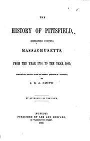

Search results from Open Library.
Recent natural events nearby
Ground air-quality sensors
Recently spotted species
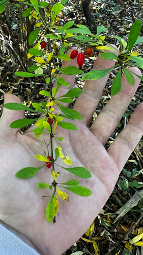
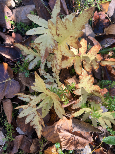
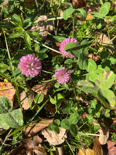
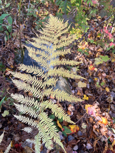
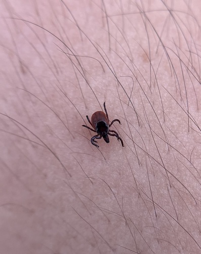
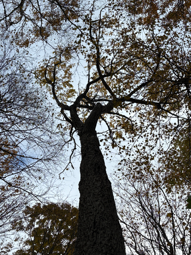
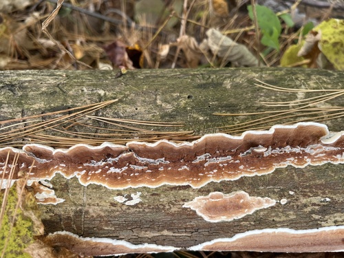
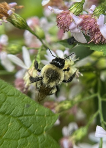
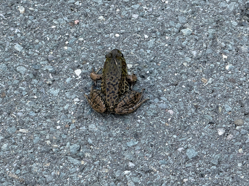
Research-grade observations from iNaturalist (within ~15 mi).
Nearest stream gauge
Live readings from USGS NWIS · measured 2026-10-16 18:30 UTC.
Events
Gallery
Geotagged photos within ~6 miles of Pittsfield, from Wikimedia Commons contributors.
 0.2 mi
 0.2 mi
 0.3 mi
 0.3 mi
 0.3 mi
 0.3 mi
 0.3 mi
 0.3 mi
 0.3 mi
 0.3 mi
 0.3 mi
 0.4 mi
 0.4 mi
 0.4 mi
 0.4 mi
 0.4 mi
.jpg) 0.4 mi
0.4 mi 0.4 mi
 0.4 mi
 0.4 mi
 0.4 mi
 0.4 mi
 0.4 mi
 0.4 mi
Photos via Wikimedia Commons — see each image page for license & attribution.
Sources
- • Wikipedia
- • US Census Bureau (ACS 5-year estimates)
- • NOAA National Weather Service
- • Wikimedia Commons
- • Wikidata
- • USGS Earthquake Catalog (global feed)
- • USGS NWIS (water data)
- • NCES via Urban Institute Education Data Portal
- • GBIF (Global Biodiversity Information Facility)
- • iNaturalist
- • CDC PLACES
- • Open-Meteo / sunrise-sunset.org
- • Wikipedia Pageviews API
- • Open Library
- • Wikidata SPARQL (CC0) — population, area, elevation, inception, head of government, Commons image