Browse / United States / Massachusetts / Williamstown
Williamstown
MassachusettsCDP

Williamstown
Total population
5,070
Median home value
$439,300
Bachelor's+
Median income
$97,917
Founded
1749
Air quality index
Demographic figures from US Census Bureau · ACS 5-year estimates. Overview below cites Wikipedia and may reference a different year.
City facts
Facts from Wikidata (CC0).
Overview
Williamstown is a town in Berkshire County, Massachusetts, United States. It shares a border with Vermont to the north and New York to the west. Located in Berkshire County, the town is part of the Pittsfield metropolitan statistical area. The population was 7,513 at the 2020 census. A college town, it is home to Williams College, the Clark Art Institute and the Tony-awarded Williamstown Theatre Festival.
Read more on WikipediaHistory & geography
History
Originally called West Hoosac, the area was first settled in 1749. Prior to this time, its position along the Mohawk Trail made it ideal Mohican hunting grounds. Its strategic location bordering Dutch colonies in New York led to its settlement, because it was needed as a buffer to stop the Dutch from encroaching on Massachusetts. Fort West Hoosac, the westernmost blockhouse and stockade in Massachusetts, was built in 1756. The town was incorporated in 1765 as Williamstown according to the will of Col. Ephraim Williams, who was killed in the French and Indian War. He bequeathed a significant sum to the town on the condition that the town would be named after him and that a free school would be established. In 1791 the school opened but only lasted a short time as a free school. It became Williams College in 1793. The primary industry was agriculture, particularly dairy farming, sheep herding and wool production. Sawmills and gristmills operated by water power at the streams. With the Industrial Revolution larger mills were added, including the Walley Mill and Williamstown Manufacturing Company (Station Mill), both of which produced textiles. The A. Loop & Company (Water Street Mill) produced twine. With the opening of the railroad, tourists arrived. Several inns and hotels were established, including the Idlewild Hotel and Greylock Hotel. In the late 1930s and 1940s, E. Parmelee Prentice and his wife Alta, the daughter of John D. Rockefeller, created Mount Hope Farm. With a mansion designed by James Gamble Rogers, it was one of the outstanding experimental farms in the country. Today, it belongs to Williams College, which remains the largest employer in town.
Geography
According to the United States Census Bureau, the town has a total area of , of which is land and , or 0.27%, is water. Located in the Berkshires, Williamstown is drained by the Hoosic River. Williamstown is the northwesternmost town in Massachusetts. The town is bordered on the north by Pownal, Vermont, on the east by Clarksburg, North Adams and Adams, on the south by New Ashford and Hancock, and on the west by Berlin and Petersburgh, New York. The town proper lies southwest of the confluence of the Green River and the Hoosic River. To the west, the Taconic Range lines the N.Y. state border and is where Taconic Trail State Park is located. Brodie Mountain rises to the south of town, and Mount Greylock State Reservation occupies the southwestern corner of town, with the peak of Mount Greylock and its subsidiary peak Mount Fitch just over the line in Adams. The highest point in town is at above sea level, just west of the summit of Greylock. The Appalachian Trail skirts the town twice, near the southeastern corner of town and again along the North Adams border. To the northeast, Pine Cobble lies along the Clarksburg town line, and to the north lies the Green Mountain National Forest in Vermont. U.S. Route 7 passes from north to south through the town, crossing into Vermont to the north and New Ashford to the south. Massachusetts Route 2 begins in the town, starting from New York State Route 2 at the Petersburg Pass, then combining with Route 7 for a stretch before heading east into North Adams. From Route 7 westward, it is known as the Taconic Trail; the road does not become the Mohawk Trail in the east until passing through North Adams. Route 43 also begins at Route 2 and heads southward towards Hancock, crossing Route 7 near the fork of the east and west…
Excerpted from the corresponding Wikipedia article (CC BY-SA).
Demographics & economy
Race & ethnicity
Source: US Census Bureau — American Community Survey, 5-year estimates.
Geography
Coordinates & boundaries from the US Census TIGER/Line shapefiles.
Climate
Current forecast
Forecast for Williamstown, MA from NOAA NWS API.
Air quality
Current readings from Open-Meteo Air Quality API (Copernicus CAMS European reanalysis).
Industrial & pollution facilities
Natural hazard risk
Health (adults)
Age-adjusted prevalence estimates from CDC PLACES (latest release).
Walkability
Amenities nearby
Wildlife & biodiversity
Most-observed species
- Black-capped ChickadeePoecile atricapillus (Linnaeus, 1766) · Aves9,738
- Blue JayCyanocitta cristata (Linnaeus, 1758) · Aves8,225
- American CrowCorvus brachyrhynchos C.L.Brehm, 1822 · Aves8,108
- American RobinTurdus migratorius Linnaeus, 1766 · Aves7,659
- Northern CardinalCardinalis cardinalis (Linnaeus, 1758) · Aves6,377
- Song SparrowMelospiza melodia (A.Wilson, 1810) · Aves6,259
- American GoldfinchSpinus tristis (Linnaeus, 1758) · Aves6,055
- Tufted TitmouseBaeolophus bicolor (Linnaeus, 1766) · Aves5,872
Citizen-science & research observations from the Global Biodiversity Information Facility (GBIF).
Schools
Earthquake history
Most recent
- M 3.1 — 2020-03-110 km SSW of South Glens Falls, New York
- M 2.76 — 2011-08-275 km WSW of Altamont, New York
- M 2.69 — 2011-08-255 km WSW of Altamont, New York
- M 3.15 — 2009-12-1315 km N of Medusa, New York
- M 2.56 — 2009-12-1314 km N of Medusa, New York
- M 2.9 — 2009-10-2115 km N of Medusa, New York
Events from the USGS Earthquake Catalog (global) (FDSN Event Web Service).
Photos
Sights & places nearby
Notable people from here


People born within ~10 km, from Wikidata (CC0). Click any name for their Wikipedia article.
Nearby places in Massachusetts
- Cheshire10.4 mi away
- Pittsfield18 mi away · pop. 43,457
- Deerfield32.4 mi away · pop. 458
- Easthampton Town40.9 mi away
- Chicopee48.8 mi away · pop. 55,295
- Agawam Town52.6 mi away · pop. 28,539
- Spencer69.3 mi away · pop. 11,992
- Cordaville90.7 mi away
- West Concord93.2 mi away · pop. 6,320
- Cochituate97.8 mi away
- Methuen Town102.7 mi away
- Boxford112.6 mi away · pop. 2,284
Geography & sun
Nearby airports
Public attention
Books about this place
Recent natural events nearby
Ground air-quality sensors
Recently spotted species

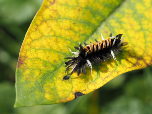
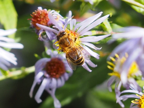
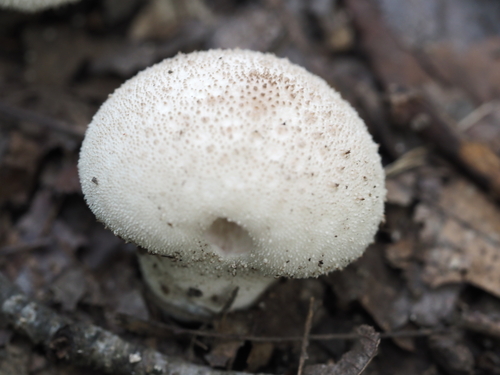
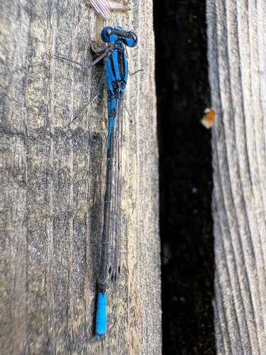
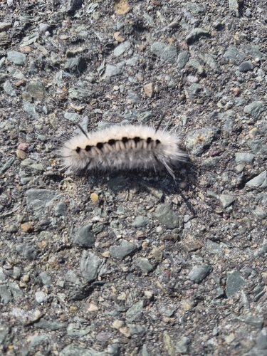

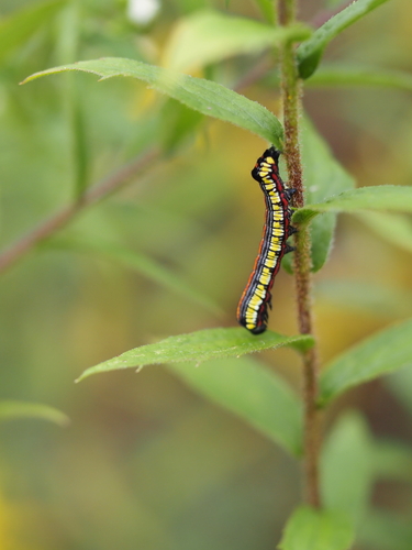
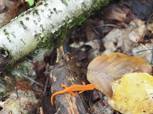
Research-grade observations from iNaturalist (within ~15 mi).
Nearest stream gauge
Events
Gallery
Sources
- • Wikipedia
- • US Census Bureau (ACS 5-year estimates)
- • NOAA National Weather Service
- • Wikidata
- • Open-Meteo Air Quality (CAMS)
- • USGS Earthquake Catalog (global feed)
- • GBIF (Global Biodiversity Information Facility)
- • iNaturalist
- • CDC PLACES
- • Wikidata SPARQL (CC0) — population, area, elevation, inception, head of government, Commons image