Browse / United States / Massachusetts / Great Barrington
Great Barrington
MassachusettsCDP

Great Barrington
Total population
2,331
Median home value
$524,700
Bachelor's+
Median income
$64,506
Demographic figures from US Census Bureau · ACS 5-year estimates. Overview below cites Wikipedia and may reference a different year.
City facts
Sister cities
Facts from Wikidata (CC0).
Overview
Great Barrington is a town in Berkshire County, Massachusetts, United States. It is part of the Pittsfield, Massachusetts, Metropolitan Statistical Area. The population was 7,172 at the 2020 census. Both a summer resort and home to Ski Butternut, a ski resort, Great Barrington includes the villages of Great Barrington, Van Deusenville, and Housatonic.
Read more on WikipediaHistory & geography
History
The Mahican Indians called the area Mahaiwe, meaning "the place downstream". It lay on the New England Path, which connected Fort Orange near Albany, New York, with Springfield and Massachusetts Bay. The first recorded account of Europeans in the area happened in August 1676, during King Philip's War. Major John Talcott and his troops chased a group of 200 Mahican Natives west from Westfield, eventually overtaking them at the Housatonic River in what is now Great Barrington. According to reports at the time, Talcott's troops killed twenty-five Indians and imprisoned another twenty. On April 25, 1724, Captain John Ashley of Westfield, Massachusetts, bought on behalf of himself and a committee of the Massachusetts General Court the land that became the towns of Great Barrington, Sheffield, Egremont, Alford, Mount Washington, and Boston Corner for £460, three barrels of "sider," and thirty quarts of rum from 21 Native American sachems headed by Conkepot Poneyote. The Konkapot River in southwestern Massachusetts is named after him. The village was first settled by colonists in 1726 and from 1742 to 1761 was the north parish of Sheffield. In 1761, it was officially incorporated as Great Barrington, named after the village of Great Barrington in Gloucestershire, England. In the summer of 1774, local colonists temporarily forced the closure of the Berkshire County Court in response to unpopular British policies. In the winter of 1776, Henry Knox passed through Great Barrington while transporting the "noble train of artillery" from Fort Ticonderoga to the outskirts of Boston during the siege of Boston. Due to his time in the area, he established an agricultural interest in the area of Great Barrington. With the arrival of the railroad in the late 19th century, Great…
Geography
According to the United States Census Bureau, the town has an area of , of which is land and , or 2.09%, is water. Great Barrington is bordered by West Stockbridge, Stockbridge and Lee to the north, Tyringham to the northeast, Monterey to the east, New Marlborough to the southeast, Sheffield to the south, Egremont to the southwest, and Alford to the northwest. The town is south of Pittsfield, west of Springfield, west of Boston, and north-northeast of New York City. Great Barrington is in the valley of the Housatonic River. The Williams River, Green River and several brooks also flow through the valley into the Housatonic. To the east of the river, several mountains of the Berkshires rise, including East Mountain (site of the Ski Butternut resort (also known as Butternut Basin) and a state forest), Beartown Mountain (and the majority of Beartown State Forest) and Monument Mountain. The Appalachian Trail crosses through East Mountain State Forest in the southeast corner of town. The southwest corner of town is the site of several country clubs and a fairgrounds. U.S. Route 7 passes through the center of town, and was once part of New England Interstate Route 4 (also known as the New York-Berkshire-Burlington Way). Massachusetts Route 23 passes from west to east through town, combining with Massachusetts Route 41 and U.S. Route 7 in the western part of town and Massachusetts Route 183 in the eastern part of town, which also follows part of the path of Route 7 northward from Route 23 before splitting towards the village of Housatonic. Great Barrington is approximately south of Exit 2 of Interstate 90 (the Massachusetts Turnpike), the nearest interstate highway.
Excerpted from the corresponding Wikipedia article (CC BY-SA).
Demographics & economy
Race & ethnicity
Source: US Census Bureau — American Community Survey, 5-year estimates.
Geography
Coordinates & boundaries from the US Census TIGER/Line shapefiles.
Climate
Current forecast
Forecast for Great Barrington, MA from NOAA NWS API.
Air quality
Industrial & pollution facilities
Natural hazard risk
Health (adults)
Age-adjusted prevalence estimates from CDC PLACES (latest release).
Walkability
Amenities nearby
Wildlife & biodiversity
Most-observed species
- Black-capped ChickadeePoecile atricapillus (Linnaeus, 1766) · Aves15,839
- American CrowCorvus brachyrhynchos C.L.Brehm, 1822 · Aves14,706
- Blue JayCyanocitta cristata (Linnaeus, 1758) · Aves13,776
- Song SparrowMelospiza melodia (A.Wilson, 1810) · Aves13,233
- American RobinTurdus migratorius Linnaeus, 1766 · Aves13,152
- Tufted TitmouseBaeolophus bicolor (Linnaeus, 1766) · Aves11,977
- Northern CardinalCardinalis cardinalis (Linnaeus, 1758) · Aves11,625
- American GoldfinchSpinus tristis (Linnaeus, 1758) · Aves11,617
Citizen-science & research observations from the Global Biodiversity Information Facility (GBIF).
Schools
Largest nearby schools
- Monument Mt Regional HighHigh · Great Barrington · 472 students · 10.5:1 ratio
- Muddy Brook Regional Elementary SchoolElementary · Great Barrington · 372 students · 9.8:1 ratio
- W.E.B. Du Bois Regional Middle SchoolMiddle · Great Barrington · 325 students · 9.8:1 ratio
- Lee Middle/High SchoolHigh · Lee · 325 students · 9:1 ratio
- Mt Everett RegionalHigh · Sheffield · 294 students · 7.3:1 ratio
- UndermountainElementary · Sheffield · 241 students · 9.3:1 ratio
- New Marlborough CentralElementary · Sheffield · 66 students · 8.3:1 ratio
- South EgremontElementary · South Egremont · 13 students · 13:1 ratio
Public K–12 schools within ~10 mi from Urban Institute Education Data Portal (NCES Common Core of Data, 2022).
Earthquake history
Most recent
- M 2.79 — 2015-09-27New York
- M 2.76 — 2011-08-275 km WSW of Altamont, New York
- M 2.69 — 2011-08-255 km WSW of Altamont, New York
- M 3.15 — 2009-12-1315 km N of Medusa, New York
- M 2.56 — 2009-12-1314 km N of Medusa, New York
- M 2.9 — 2009-10-2115 km N of Medusa, New York
Events from the USGS Earthquake Catalog (global) (FDSN Event Web Service).
Photos
Sights & places nearby
Notable people from here


People born within ~10 km, from Wikidata (CC0). Click any name for their Wikipedia article.
Nearby places in Massachusetts
- Pittsfield18.5 mi away · pop. 43,457
- Cheshire27.3 mi away · pop. 674
- Chicopee40.5 mi away · pop. 55,295
- Deerfield45.8 mi away · pop. 458
- Cochituate103.2 mi away
- Ocean Grove115.2 mi away · pop. 3,453
- Peabody124.4 mi away · pop. 54,695
- Boxford125.5 mi away · pop. 2,284
- Amesbury Town130.6 mi away
- Duxbury137.8 mi away · pop. 1,994
- Bourne144.6 mi away · pop. 1,806
- Yarmouth Port164.8 mi away · pop. 5,961
Geography & sun
Elevation, sunrise/sunset and daylight from Open-Meteo. Solar climatology from NASA POWER.
Nearby airports
Public attention
Pageview totals from the Wikimedia Pageviews API.
Books about Great Barrington


Search results from Open Library.
Recent natural events nearby
Ground air-quality sensors
Recently spotted species

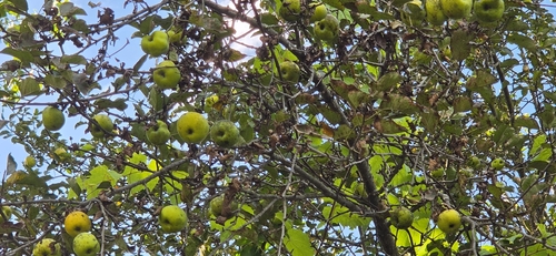
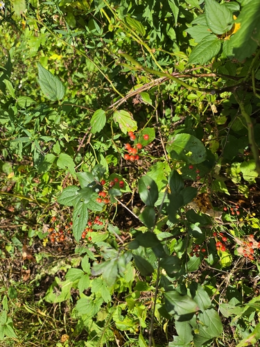
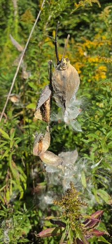
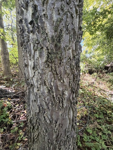
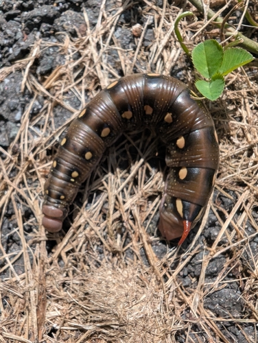
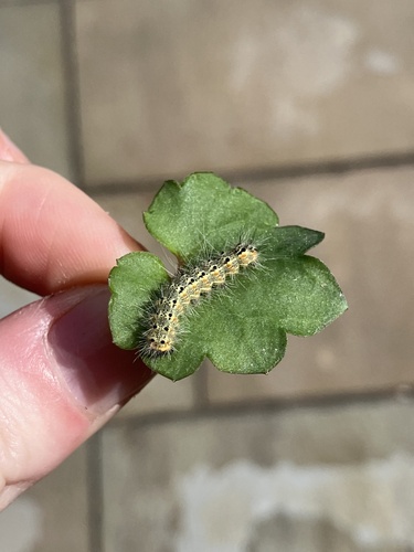
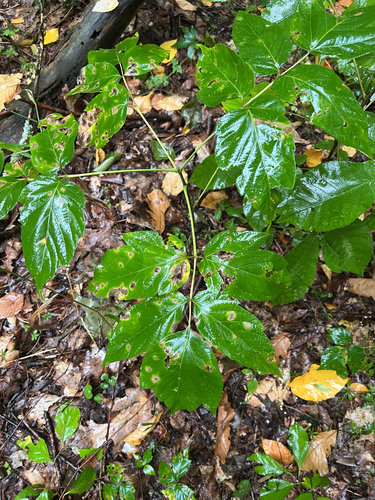
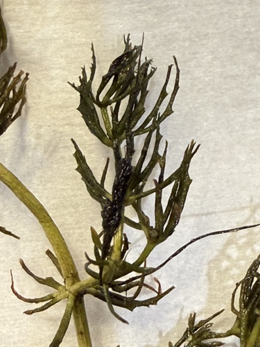
Research-grade observations from iNaturalist (within ~15 mi).
Nearest stream gauge
Live readings from USGS NWIS · measured 2026-10-14 09:30 UTC.
Events
Gallery
Sources
- • Wikipedia
- • US Census Bureau (ACS 5-year estimates)
- • NOAA National Weather Service
- • Wikidata
- • USGS Earthquake Catalog (global feed)
- • USGS NWIS (water data)
- • NCES via Urban Institute Education Data Portal
- • GBIF (Global Biodiversity Information Facility)
- • iNaturalist
- • CDC PLACES
- • Open-Meteo / sunrise-sunset.org
- • Wikipedia Pageviews API
- • Open Library
- • Wikidata SPARQL (CC0) — population, area, elevation, inception, head of government, Commons image