Browse / United States / Massachusetts / East Falmouth
East Falmouth
MassachusettsCDP

East Falmouth
Total population
6,245
Median home value
$593,000
Bachelor's+
Median income
$81,464
Demographic figures from US Census Bureau · ACS 5-year estimates. Overview below cites Wikipedia and may reference a different year.
- Coastal Flood Watch · ModerateCoastal Flood Watch issued September 24 at 1:11PM EDT until September 27 at 8:00PM EDT by NWS Boston/Norton MA
- High Surf Advisory · MinorHigh Surf Advisory issued September 24 at 1:11PM EDT until September 27 at 8:00PM EDT by NWS Boston/Norton MA
- High Wind Warning · SevereHigh Wind Warning issued September 24 at 12:38PM EDT until September 27 at 2:00AM EDT by NWS Boston/Norton MA
Source: NOAA National Weather Service.
City facts
Facts from Wikidata (CC0).
Overview
East Falmouth is a census-designated place (CDP) in the town of Falmouth in Barnstable, Massachusetts, United States. It is located at the base of Massachusetts' Cape Cod peninsula. As of the 2020 census, East Falmouth had a population of 6,278, making it the most populous of the six CDPs in Falmouth.
Read more on WikipediaHistory & geography
Geography
East Falmouth is located in the southeastern part of Falmouth at (41.565096, -70.549984). It is bordered to the west by the village of Teaticket and to the east by the Childs River. Its southern border is the shore of Vineyard Sound. According to the United States Census Bureau, the CDP has a total area of , of which is land and (13.54%) is water. South of Massachusetts Route 28, the CDP is split into four necks, separated by tidal creeks (or "ponds"), each neck forming a natural neighborhood within the CDP. From east to west, the neighborhoods are: {| class="wikitable" |- ! Neighborhood ! Neighborhood association ! Neck ! Surrounding body/bodies of water |- | Seacoast Shores | [https://www.seacoastshores.com/ Seacoast Shores Association] | | Eel Pond, Waquoit Bay ([https://www.waquoitbayreserve.org/ Waquoit Bay Research Reserve]) |- | Menauhant | Menauhant Yacht Club | | Eel Pond, Bournes Pond, Vineyard Sound |- | Davisville | | Davis Neck | Green Pond, Bournes Pond, Vineyard Sound |- | Acapesket | Shorewood Drive Association[http://www.greatharbors.org/ Great Harbors Resident Association] | Lewis Neck | Great Pond, Green Pond, Vineyard Sound |} Seacoast Shores, formerly known as Jenkin's Neck, is one of the most densely populated neighborhoods in Falmouth, containing 905 homes. The Seacoast Shores Association is a not-for-profit organization that maintains 22 rights of way and a private beach for association members and residents of the neighborhood. Great Harbors is a private community located on Lewis Neck north of Acapesket and consisting of 11 streets and almost 400 houses. The Great Harbors Resident Association is a non-profit organization that governs and manages the community, incorporated in December 1966. Great Harbors is a waterfront community, with…
Excerpted from the corresponding Wikipedia article (CC BY-SA).
Demographics & economy
Race & ethnicity
Source: US Census Bureau — American Community Survey, 5-year estimates.
Geography
Coordinates & boundaries from the US Census TIGER/Line shapefiles.
Climate
Current forecast
Forecast for East Falmouth, MA from NOAA NWS API.
Air quality
Industrial & pollution facilities
Natural hazard risk
Health (adults)
Age-adjusted prevalence estimates from CDC PLACES (latest release).
Walkability
Amenities nearby
Wildlife & biodiversity
Schools
Largest nearby schools
- Falmouth HighHigh · Falmouth · 766 students · 10.9:1 ratio
- Mashpee Middle-High SchoolHigh · Mashpee · 655 students · 9.6:1 ratio
- Forestdale SchoolElementary · Sandwich · 540 students · 10.2:1 ratio
- Morse Pond SchoolMiddle · Falmouth · 482 students · 10.7:1 ratio
- LawrenceMiddle · Falmouth · 477 students · 9:1 ratio
- Quashnet SchoolElementary · Mashpee · 398 students · 11.1:1 ratio
- Kenneth Coombs SchoolElementary · Mashpee · 390 students · 12.2:1 ratio
- Mullen-HallElementary · Falmouth · 380 students · 9.7:1 ratio
Public K–12 schools within ~10 mi from Urban Institute Education Data Portal (NCES Common Core of Data, 2022).
Earthquake history
Photos
Sights & places nearby
Notable people from here
Nearby places in Massachusetts
- Bourne11.7 mi away · pop. 1,806
- Yarmouth Port19.9 mi away · pop. 5,961
- Harwich Center26.8 mi away · pop. 1,774
- Duxbury33.5 mi away · pop. 1,994
- Ocean Grove35.4 mi away · pop. 3,453
- Cochituate66.5 mi away
- Peabody70 mi away · pop. 54,695
- Boxford78.8 mi away · pop. 2,284
- Amesbury Town91 mi away
- Chicopee111.8 mi away · pop. 55,295
- Deerfield124.8 mi away · pop. 458
- Cheshire150.2 mi away · pop. 674
Geography & sun
Elevation, sunrise/sunset and daylight from Open-Meteo. Solar climatology from NASA POWER.
Nearby airports
Public attention
Pageview totals from the Wikimedia Pageviews API.
Books about East Falmouth
Search results from Open Library.
Recent natural events nearby
Ground air-quality sensors
Recently spotted species
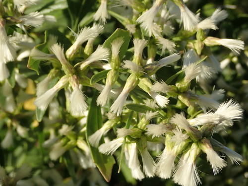
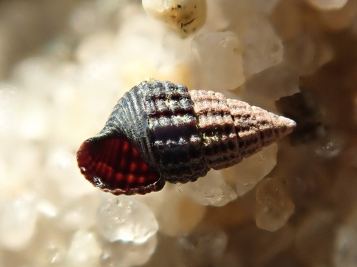
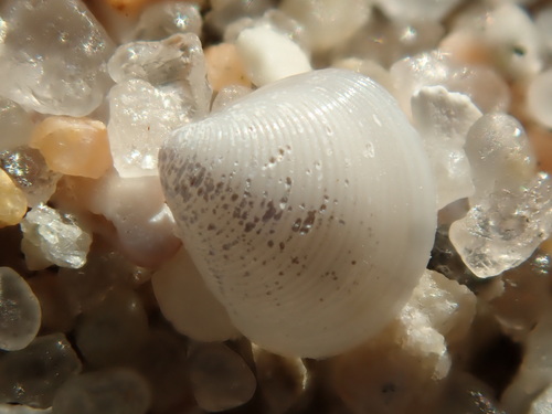
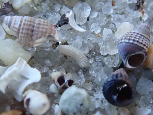
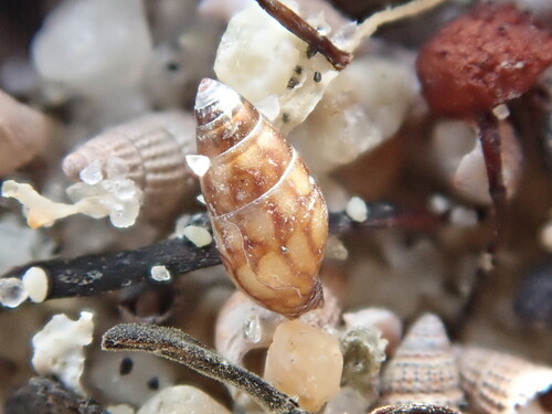
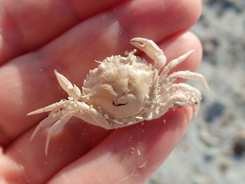
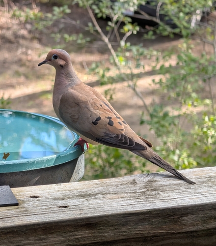
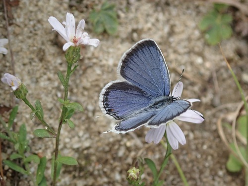
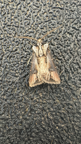
Research-grade observations from iNaturalist (within ~15 mi).
Nearest stream gauge
Events
Gallery
Sources
- • Wikipedia
- • US Census Bureau (ACS 5-year estimates)
- • NOAA National Weather Service
- • Wikidata
- • NCES via Urban Institute Education Data Portal
- • iNaturalist
- • CDC PLACES
- • Open-Meteo / sunrise-sunset.org
- • Wikipedia Pageviews API
- • Open Library
- • Wikidata SPARQL (CC0) — population, area, elevation, inception, head of government, Commons image