Browse / United States / Massachusetts / Everett
Everett
Massachusettscity

Everett
Total population
50,045
Median home value
$610,000
Bachelor's+
Median income
$85,218
Founded
1630
Demographic figures from US Census Bureau · ACS 5-year estimates. Overview below cites Wikipedia and may reference a different year.
City facts
Facts from Wikidata (CC0).
Overview
Everett is a city in Middlesex County, Massachusetts, United States, directly north of Boston, bordering the neighborhood of Charlestown. The population was 49,075 at the time of the 2020 United States census.
Read more on WikipediaHistory & geography
History
Everett was originally part of Charlestown, and later Malden. It separated from Malden in 1870. The community was named after Edward Everett, who served as U.S. Representative, U.S. Senator, the 15th Governor of Massachusetts, Minister to Great Britain, and United States Secretary of State. He also served as President of Harvard University. In 1892, Everett was upgraded from a town to a city. On December 13, 1892, Alonzo H. Evans defeated George E. Smith to become Everett's first mayor. Landfill has expanded the Everett shoreline over the centuries. At some point between 1905 and 1912, it connected the mainland to what was formerly White Island in the Mystic River. The bridge of the Grand Junction Railroad was originally built using this island for part of the crossing. In 1919, Beacon Oil began construction of an oil refinery and storage yard near the Mystic River, opening in 1920. In its first decade, the facility experienced five major explosions or fires. In 1929, Beacon Oil was purchased by Standard Oil of New Jersey, also known as Esso and now known as ExxonMobil. The refinery shut down in 1965 due to lack of profitability, but the tank storage remained. In 1971, Distrigas of Massachusetts began importing liquefied natural gas (LNG) at its Everett Marine Terminal in the Island End section of Everett. This terminal was the first of its kind in the country. It was purchased by GDF Suez North America, and as of 2013, supplied 20% of New England's natural gas demand from its two tanks with a combined capacity of , equal to approximately one day of Massachusetts gas demand. In 2019, it was purchased by Constellation Energy, at the time a subsidiary of Exelon. , it receives 99% of LNG imports into the United States, mostly from Algeria and Trinidad. LNG is trucked…
Geography
Everett is bordered by Malden on the north, Revere on the east, Chelsea on the southeast, the Malden River and Medford on the west, and the Mystic River on the south (Somerville and Boston are south of the Mystic River). Island End River flows through the city, though it was contained in a culvert and invisible to residents until being partly unearthed in 2021. According to the United States Census Bureau, the city has a total area of , of which is land and (7.63%) is water.
Excerpted from the corresponding Wikipedia article (CC BY-SA).
Demographics & economy
Race & ethnicity
Source: US Census Bureau — American Community Survey, 5-year estimates.
Geography
Coordinates & boundaries from the US Census TIGER/Line shapefiles.
Climate
Current forecast
Forecast for Everett, MA from NOAA NWS API.
Air quality
Industrial & pollution facilities
Natural hazard risk
Health (adults)
Age-adjusted prevalence estimates from CDC PLACES (latest release).
Walkability
Amenities nearby
Wildlife & biodiversity
Most-observed species
- American RobinTurdus migratorius Linnaeus, 1766 · Aves160,880
- Blue JayCyanocitta cristata (Linnaeus, 1758) · Aves145,308
- Northern CardinalCardinalis cardinalis (Linnaeus, 1758) · Aves133,374
- House SparrowPasser domesticus (Linnaeus, 1758) · Aves127,033
- Mourning DoveZenaida macroura (Linnaeus, 1758) · Aves122,561
- Black-capped ChickadeePoecile atricapillus (Linnaeus, 1766) · Aves119,138
- Song SparrowMelospiza melodia (A.Wilson, 1810) · Aves115,727
- MallardAnas platyrhynchos Linnaeus, 1758 · Aves105,584
Citizen-science & research observations from the Global Biodiversity Information Facility (GBIF).
Schools
Earthquake history
Most recent
- M 3.8 — 2025-01-279 km SE of York Harbor, Maine
- M 2.7 — 2023-12-235 km SW of Chichester, New Hampshire
- M 3.6 — 2020-11-0810 km S of Bliss Corner, Massachusetts
- M 2.7 — 2018-02-150 km SE of East Kingston, New Hampshire
- M 2.9 — 2010-06-0729 km SE of York Beach, Maine
- M 2.8 — 2008-03-0925 km SE of York Beach, Maine
Events from the USGS Earthquake Catalog (global) (FDSN Event Web Service).
Photos
Sights & places nearby
Notable people from here
Nearby places in Massachusetts
- Peabody9.9 mi away · pop. 54,695
- Cochituate16.1 mi away
- Boxford18.2 mi away · pop. 2,284
- Amesbury Town31.2 mi away
- Duxbury31.5 mi away · pop. 1,994
- Ocean Grove47.5 mi away · pop. 3,453
- Bourne51.7 mi away · pop. 1,806
- Yarmouth Port64.5 mi away · pop. 5,961
- Harwich Center70.7 mi away · pop. 1,774
- Chicopee79 mi away · pop. 55,295
- Deerfield79.5 mi away · pop. 458
- Cheshire107.9 mi away · pop. 674
Geography & sun
Elevation, sunrise/sunset and daylight from Open-Meteo. Solar climatology from NASA POWER.
Nearby airports
Public attention
Pageview totals from the Wikimedia Pageviews API.
Books about Everett


Search results from Open Library.
Recent natural events nearby
Ground air-quality sensors
Recently spotted species
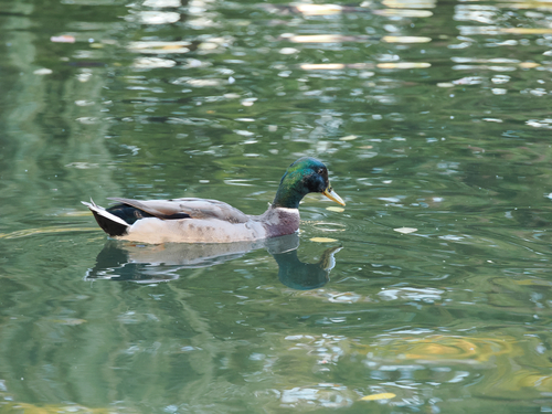
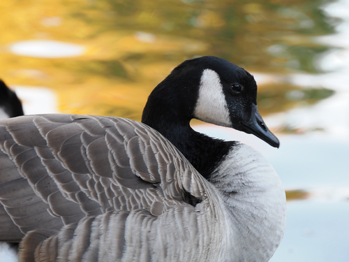
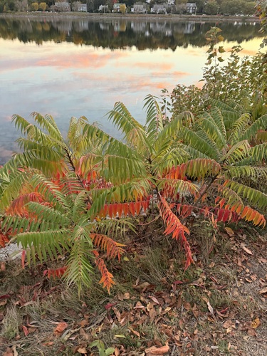
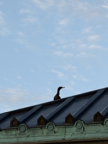
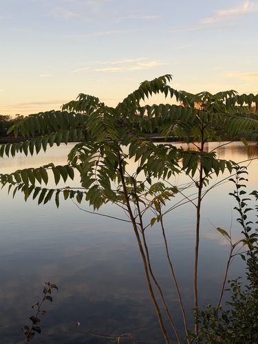
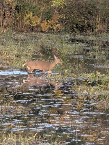
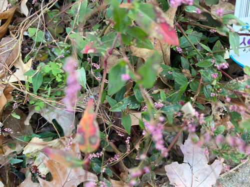
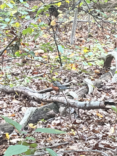
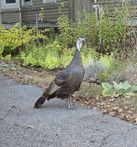
Research-grade observations from iNaturalist (within ~15 mi).
Nearest stream gauge
Live readings from USGS NWIS · measured 2026-09-21 01:30 UTC.
Events
Gallery
Sources
- • Wikipedia
- • US Census Bureau (ACS 5-year estimates)
- • NOAA National Weather Service
- • Wikidata
- • USGS Earthquake Catalog (global feed)
- • USGS NWIS (water data)
- • GBIF (Global Biodiversity Information Facility)
- • iNaturalist
- • CDC PLACES
- • Open-Meteo / sunrise-sunset.org
- • Wikipedia Pageviews API
- • Open Library
- • Wikidata SPARQL (CC0) — population, area, elevation, inception, head of government, Commons image