Browse / United States / Massachusetts / Lowell
Lowell
Massachusettscity

Lowell
Total population
120,418
Median home value
$468,700
Bachelor's+
Median income
$82,956
Founded
1653
Air quality index
Demographic figures from US Census Bureau · ACS 5-year estimates. Overview below cites Wikipedia and may reference a different year.
City facts
Sister cities
Facts from Wikidata (CC0).
Overview
Lowell is a city in Massachusetts, United States. Alongside Cambridge, it is one of the two traditional seats of Middlesex County. With an estimated population of 115,554 in 2020, it was the fifth most populous city in Massachusetts as of the last census, and the third most populous in the Boston metropolitan statistical area. The city is also part of a smaller Massachusetts statistical area, called Greater Lowell, and of New England's Merrimack Valley region.
Read more on WikipediaHistory & geography
History
The Pawtucket Falls, which provided the hydropower for Lowell's industry in the 1800s, also served as an important seasonal fishing site for native people at the time of European colonization in the 1600s. The Pawtucket people are named for this location, literally meaning "at the falls" in Massachusett. In the mid-1600s, English efforts to convert native people to Christianity led to the founding of the "praying town" of Wamesit at the confluence of the Concord and Merrimack Rivers in what is today Lowell, who had died five years before its 1823 incorporation. As Lowell's population grew, it acquired land from neighboring towns, and diversified into a full-fledged urban center. Many of the men who composed the labor force for constructing the canals and factories had immigrated from Ireland, escaping the poverty and Great Famine of the 1830s and 1840s. The mill workers, young single women called Mill Girls, generally came from the farm families of New England. By the 1850s, Lowell had the largest industrial complex in the United States. The textile industry wove cotton produced in the Southern United States. In 1860, there were more cotton spindles in Lowell than in all eleven states combined that would form the Confederate States of America. Many of the coarse cottons produced in Lowell eventually returned to the South to clothe enslaved people, and, according to historian Sven Beckert, "'Lowell' became the generic term slaves used to describe coarse cottons." The city continued to thrive as a major industrial center during the 19th century, attracting more migrant workers and immigrants to its mills. Next were the Catholic Germans, followed by a large influx of French Canadians during the 1870s and 1880s. Later waves of immigrants came to work in Lowell and…
Geography
Lowell is located at (42.639444, −71.314722). According to the United States Census Bureau, the city has a total area of of which is land and (5.23%) is water. Lowell features a four-season Humid continental climate, with long and very cold winters, which typically experience an average of snowfall, with the highest ever recorded seasonal snowfall being in the winter of 2014–2015. Summers are hot and humid, and of average length, while autumn and spring are brief transition periods between the two. On average, temperature in Lowell ranges from in the summer months, and between in the winter months, with the yearly average being . Lowell is located at the confluence of the Merrimack and Concord rivers. The Pawtucket Falls, a mile-long set of rapids with a total drop in elevation of , ends where the two rivers meet. At the top of the falls is the Pawtucket Dam, designed to turn the upper Merrimack into a millpond, diverted through Lowell's extensive canal system. The Merrimack, which flows southerly from Franklin, New Hampshire to Lowell, makes a northeasterly turn there before emptying into the Atlantic Ocean at Newburyport, Massachusetts, approximately downriver from Lowell. It is believed that in prior ages, the Merrimack continued south from Lowell to empty into the ocean somewhere near Boston. The glacial deposits that redirected the flow of the river left the drumlins that dot the city, most notably, Fort Hill in the Belvidere neighborhood. Other large hills in Lowell include Lynde Hill, also in Belvidere, and Christian Hill, in the easternmost part of Centralville at the Dracut town line. The Concord, or Musketaquid (its original name), forms from the confluence of the Assabet and Sudbury rivers at Concord, Massachusetts. This river flows north into…
Excerpted from the corresponding Wikipedia article (CC BY-SA).
Demographics & economy
Race & ethnicity
Source: US Census Bureau — American Community Survey, 5-year estimates.
Geography
Coordinates & boundaries from the US Census TIGER/Line shapefiles.
Climate
10-year averages from ERA5 reanalysis (Open-Meteo).
Current forecast
Forecast for Lowell, MA from NOAA NWS API.
Air quality
Current readings from Open-Meteo Air Quality API (Copernicus CAMS European reanalysis).
Industrial & pollution facilities
Natural hazard risk
Health (adults)
Age-adjusted prevalence estimates from CDC PLACES (latest release).
Walkability
Amenities nearby
Wildlife & biodiversity
Most-observed species
- Black-capped ChickadeePoecile atricapillus (Linnaeus, 1766) · Aves23,152
- Blue JayCyanocitta cristata (Linnaeus, 1758) · Aves21,377
- Tufted TitmouseBaeolophus bicolor (Linnaeus, 1766) · Aves20,529
- Northern CardinalCardinalis cardinalis (Linnaeus, 1758) · Aves19,758
- Downy WoodpeckerDryobates pubescens (Linnaeus, 1766) · Aves18,133
- White-breasted NuthatchSitta carolinensis Latham, 1790 · Aves17,462
- American RobinTurdus migratorius Linnaeus, 1766 · Aves16,725
- American GoldfinchSpinus tristis (Linnaeus, 1758) · Aves15,393
Citizen-science & research observations from the Global Biodiversity Information Facility (GBIF).
Schools
Largest nearby schools
- Lowell HighHigh · Lowell · 3,167 students · 13.7:1 ratio
- Gr Lowell Regional Vocational TechnicalHigh · Tyngsborough · 2,302 students · 10.8:1 ratio
- Billerica Memorial High SchoolHigh · Billerica · 1,726 students · 13.5:1 ratio
- Westford AcademyHigh · Westford · 1,525 students · 13.5:1 ratio
- Chelmsford HighHigh · North Chelmsford · 1,367 students · 13.7:1 ratio
- Shawsheen Valley Vocational Technical High SchoolHigh · Billerica · 1,292 students · 10:1 ratio
- Collegiate Charter School of LowellOther · Lowell · 1,203 students · 21.9:1 ratio
- Justus C. Richardson Middle SchoolMiddle · Dracut · 848 students · 14.6:1 ratio
Public K–12 schools within ~10 mi from Urban Institute Education Data Portal (NCES Common Core of Data, 2022).
Earthquake history
Most recent
- M 3.8 — 2025-01-279 km SE of York Harbor, Maine
- M 2.7 — 2023-12-235 km SW of Chichester, New Hampshire
- M 2.7 — 2018-02-150 km SE of East Kingston, New Hampshire
- M 2.8 — 2016-03-214 km ESE of Warner, New Hampshire
- M 2.61 — 2013-10-11New Hampshire
- M 3.15 — 2010-09-262 km SW of Canterbury, New Hampshire
Events from the USGS Earthquake Catalog (global) (FDSN Event Web Service).
Photos
Sights & places nearby
Notable people from here


People born within ~10 km, from Wikidata (CC0). Click any name for their Wikipedia article.
Nearby places in Massachusetts
- Boxford17.2 mi away · pop. 2,284
- Peabody19.3 mi away · pop. 54,695
- Cochituate21.6 mi away
- Amesbury Town23.6 mi away
- Duxbury52.6 mi away · pop. 1,994
- Ocean Grove63.1 mi away · pop. 3,453
- Deerfield65.5 mi away · pop. 458
- Chicopee71.3 mi away · pop. 55,295
- Bourne72.3 mi away · pop. 1,806
- Yarmouth Port85.5 mi away · pop. 5,961
- Harwich Center91.7 mi away · pop. 1,774
- Cheshire93.8 mi away · pop. 674
Geography & sun
Elevation, sunrise/sunset and daylight from Open-Meteo. Solar climatology from NASA POWER.
Nearby airports
Public attention
Pageview totals from the Wikimedia Pageviews API.
Books about Lowell




Search results from Open Library.
Recent natural events nearby
Ground air-quality sensors
Recently spotted species
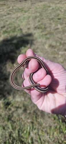
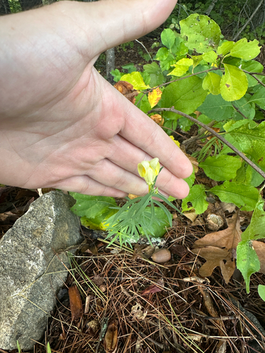
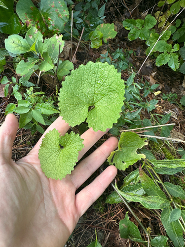
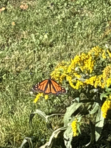
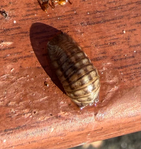
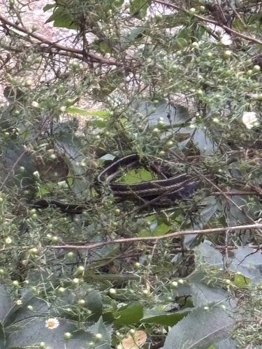
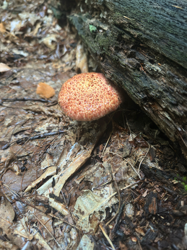
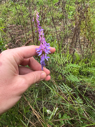
Research-grade observations from iNaturalist (within ~15 mi).
Nearest stream gauge
Live readings from USGS NWIS · measured 2026-06-01 02:30 UTC.
Events
Gallery
Geotagged photos within ~6 miles of Lowell, from Wikimedia Commons contributors.
_and_east_sides;_Lowell,_MA;_2011-12-08.JPG) 0.1 mi
0.1 mi_sides;_Lowell,_MA;_2011-12-08.JPG) 0.1 mi
0.1 mi 0.1 mi
_side;_Lowell,_MA;_2011-12-08.JPG) 0.1 mi
0.1 mi 0.1 mi
 0.1 mi
 0.1 mi
 0.1 mi
 0.1 mi
 0.1 mi
 0.1 mi
 0.1 mi
 0.1 mi
 0.2 mi
 0.2 mi
 0.2 mi
 0.2 mi
 0.2 mi
 0.2 mi
 0.2 mi
 0.2 mi
 0.2 mi
 0.2 mi
 0.2 mi
Photos via Wikimedia Commons — see each image page for license & attribution.
Sources
- • Wikipedia
- • US Census Bureau (ACS 5-year estimates)
- • Open-Meteo (ERA5 reanalysis)
- • NOAA National Weather Service
- • Wikimedia Commons
- • Wikidata
- • Open-Meteo Air Quality (CAMS)
- • USGS Earthquake Catalog (global feed)
- • USGS NWIS (water data)
- • NCES via Urban Institute Education Data Portal
- • GBIF (Global Biodiversity Information Facility)
- • iNaturalist
- • CDC PLACES
- • Open-Meteo / sunrise-sunset.org
- • Wikipedia Pageviews API
- • Open Library
- • Wikidata SPARQL (CC0) — population, area, elevation, inception, head of government, Commons image