Browse / United States / Massachusetts / Medfield
Medfield
MassachusettsCDP

Medfield
Total population
6,849
Median home value
$815,300
Bachelor's+
Median income
$218,946
Founded
1649
Demographic figures from US Census Bureau · ACS 5-year estimates. Overview below cites Wikipedia and may reference a different year.
City facts
Facts from Wikidata (CC0).
Overview
Medfield is a town in Norfolk County, Massachusetts, United States. The population was 12,799 according to the 2020 United States Census. The town contains the census-designated place of the same name. It is a community about 17 miles (27 km) southwest of Boston, Massachusetts, which is a 40-minute drive to Downtown Boston. Attractions include the Hinkley Pond and the Peak House.
Read more on WikipediaHistory & geography
History
The territory that Medfield now occupies was, at the time of colonization, Neponset land. As part of the English settlement of the area, it was sold by the Neponset leader Chickatabot to William Pynchon in the late 1620s. In 1633, Chickatabot died in a smallpox epidemic that decimated nearby Neponset, Narragansett and Pequot communities. Because Chickatabot and Pynchon's deal left no written deed, the Massachusetts General Court ordered "those Indians who were present when Chickatabot sold lands to Mr. Pynchon, or who know where they were, to set out the bounds thereof". Fifty years later, Chickatabot's grandson Josias Wampatuck brought a land claim against Medfield and the other towns created within the borders of the Chickatabot purchase, for which he received payment. Of those lands, Dedham was the first town formed. The majority of present-day Medfield had been granted to Dedham in 1636, but the lands on the western bank of the Charles River had been meted out by the General Court to individuals. Edward Alleyn, for example, had been granted 300 acres in 1642. Dedham asked the General Court for some of those lands and, on October 23, 1649, the Court granted the request so long as they established a separate village there within one year. Medfield (New Dedham) was first settled in 1649, principally by people who relocated from the former town. The first 13 house lots were laid out on June 19, 1650. Dedham sent Eleazer Lusher, Joshua Fisher, Henry Phillips, John Dwight, and Daniel Fisher to map out an area three miles by four miles and the colony sent representatives to set the boundaries on the opposite side of the river. The land that Dedham contributed to the new village became Medfield, and the land the colony contributed eventually broke away to become Medway…
Geography
According to the United States Census Bureau, the town has a total area of 14.6 square miles (37.8 km), of which 14.5 square miles (37.6 km) is land and 0.1 square mile (0.2 km) (0.62%) is water. The Charles River borders almost one-third of Medfield. Medfield is surrounded by the towns Dover, Norfolk, Walpole, Millis, and Sherborn. The Charles River marks the Millis border.
Excerpted from the corresponding Wikipedia article (CC BY-SA).
Demographics & economy
Race & ethnicity
Source: US Census Bureau — American Community Survey, 5-year estimates.
Geography
Coordinates & boundaries from the US Census TIGER/Line shapefiles.
Climate
Current forecast
Forecast for Medfield, MA from NOAA NWS API.
Air quality
Industrial & pollution facilities
Natural hazard risk
Health (adults)
Age-adjusted prevalence estimates from CDC PLACES (latest release).
Walkability
Amenities nearby
Wildlife & biodiversity
Most-observed species
- Blue JayCyanocitta cristata (Linnaeus, 1758) · Aves70,624
- American RobinTurdus migratorius Linnaeus, 1766 · Aves68,148
- Black-capped ChickadeePoecile atricapillus (Linnaeus, 1766) · Aves65,198
- Northern CardinalCardinalis cardinalis (Linnaeus, 1758) · Aves61,170
- Tufted TitmouseBaeolophus bicolor (Linnaeus, 1766) · Aves55,116
- Mourning DoveZenaida macroura (Linnaeus, 1758) · Aves50,525
- Downy WoodpeckerDryobates pubescens (Linnaeus, 1766) · Aves49,835
- White-breasted NuthatchSitta carolinensis Latham, 1790 · Aves47,037
Citizen-science & research observations from the Global Biodiversity Information Facility (GBIF).
Schools
Earthquake history
Most recent
- M 3.6 — 2020-11-0810 km S of Bliss Corner, Massachusetts
- M 2.7 — 2018-02-150 km SE of East Kingston, New Hampshire
- M 2.6 — 2015-01-132 km E of Wauregan, Connecticut
- M 3.3 — 2015-01-120 km NE of Wauregan, Connecticut
- M 2.5 — 2007-10-192 km WSW of Littleton Common, Massachusetts
- M 2.5 — 2005-11-174 km S of Plymouth, Massachusetts
Events from the USGS Earthquake Catalog (global) (FDSN Event Web Service).
Photos
Sights & places nearby
Notable people from here


People born within ~10 km, from Wikidata (CC0). Click any name for their Wikipedia article.
Nearby places in Massachusetts
- Cochituate10.1 mi away
- Peabody29.3 mi away · pop. 54,695
- Ocean Grove32 mi away · pop. 3,453
- Duxbury33.3 mi away · pop. 1,994
- Boxford36.7 mi away · pop. 2,284
- Methuen Town38.9 mi away
- Bourne47.2 mi away · pop. 1,806
- Amesbury Town49.1 mi away
- Yarmouth Port64.6 mi away · pop. 5,403
- Chicopee65 mi away · pop. 55,295
- South Dennis67.9 mi away · pop. 3,899
- Deerfield71 mi away · pop. 458
Geography & sun
Elevation, sunrise/sunset and daylight from Open-Meteo. Solar climatology from NASA POWER.
Nearby airports
Public attention
Pageview totals from the Wikimedia Pageviews API.
Books about Medfield
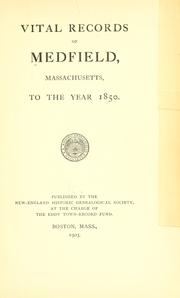


Search results from Open Library.
Recent natural events nearby
Ground air-quality sensors
Recently spotted species
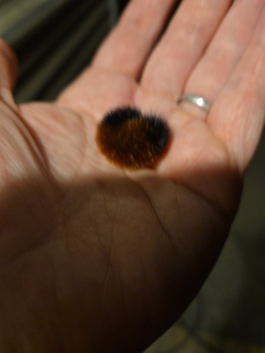
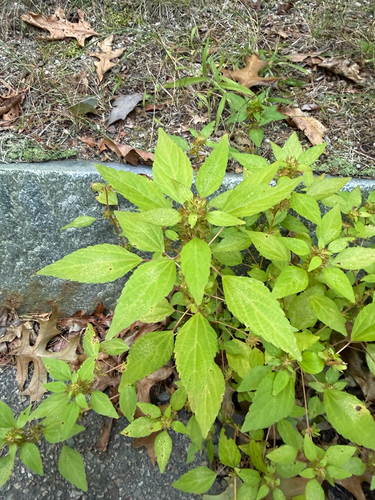
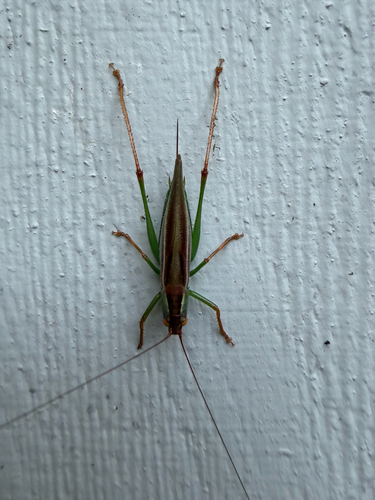
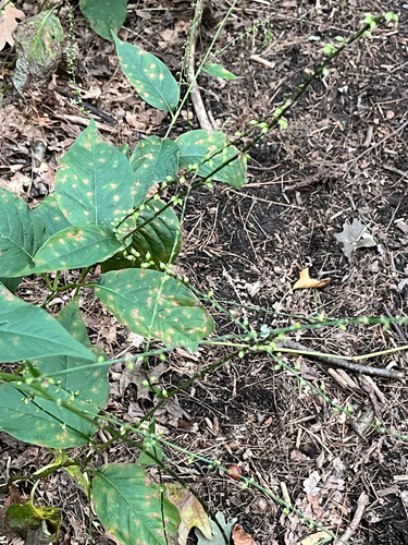
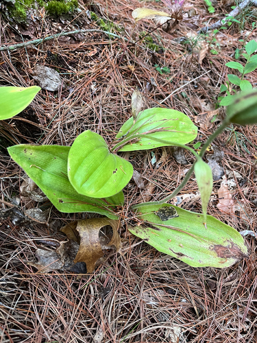
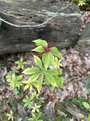
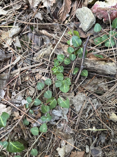
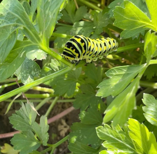
Research-grade observations from iNaturalist (within ~15 mi).
Nearest stream gauge
Live readings from USGS NWIS · measured 2026-09-22 07:00 UTC.
Events
Gallery
Sources
- • Wikipedia
- • US Census Bureau (ACS 5-year estimates)
- • NOAA National Weather Service
- • Wikidata
- • USGS Earthquake Catalog (global feed)
- • USGS NWIS (water data)
- • GBIF (Global Biodiversity Information Facility)
- • iNaturalist
- • CDC PLACES
- • Open-Elevation
- • Open-Meteo / sunrise-sunset.org
- • Wikipedia Pageviews API
- • Open Library
- • Wikidata SPARQL (CC0) — population, area, elevation, inception, head of government, Commons image