Browse / United States / Massachusetts / Nahant
Nahant
MassachusettsCDP

Nahant
Total population
3,325
Median home value
$748,800
Bachelor's+
Median income
$112,762
Founded
1630
Demographic figures from US Census Bureau · ACS 5-year estimates. Overview below cites Wikipedia and may reference a different year.
City facts
Facts from Wikidata (CC0).
Overview
Nahant is a town in Essex County, Massachusetts, United States. The population was 3,334 at the 2020 census, which makes it the smallest municipality by population in Essex County. With just 1.0 square mile (2.7 km2) of land area, it is also the smallest municipality by area in the state and is primarily a residential community. The town is situated on a peninsula consisting of two near-islands connected to the mainland by a narrow sandy isthmus traversed by a single causeway known as "Nahant Road". Numerous tourist beaches line the shores, with the most popular being the so-called "Long Beach" and "Short Beach" along the eastern side of the causeway.
Read more on WikipediaHistory & geography
History
The area around Nahant was inhabited for thousands of years prior to European colonization of the Americas, but little is known of this period until European records began to document the area in the early 1600s. In 1605, Samuel de Champlain interacted briefly with native people in Nahant and remarked that "all along this coast there is much cleared land sewn with Indian corn." By the 1630s at the time of English colonization, the seat of "Sagamore James" of the Naumkeag, known in his own tongue as Montowampate, was at the outlet of the Saugus River overlooking Nahant, though the island itself may have been controlled by a sachem Poquanum, known to English settlers as Blacke William or Duke William, who around 1632 gave permission to Thomas Dexter to use the island in exchange for an English suit. The word Nahant may mean "at the point," or "twin islands," or it may refer to an important local person named Nahantum. The peninsula was first settled by English colonists in 1630, in the second year of the Puritan coming: the servants of Isaac Johnson grazed his cattle on the land, and it was also often used by citizens of Lynn for grazing cattle, sheep and goats. Although not a separate town until 1853, Nahant was listed as one of thirty "noted Habitations" in New England by William Wood in 1633, and Nahant Poynt appears labeled on a map of the Massachusetts coastline from 1639. During World War II, East Point was the site of a coastal artillery battery. It is now a town park, and location of the Marine Science Center for Northeastern University. The old Nahant Life-Saving Station (NLSS) on Nahant Road and the new War Memorial erected across the street from the NLSS were renovated in 2004. In 2003, the dilapidated Valley Road School was refurbished and…
Excerpted from the corresponding Wikipedia article (CC BY-SA).
Demographics & economy
Race & ethnicity
Source: US Census Bureau — American Community Survey, 5-year estimates.
Geography
Coordinates & boundaries from the US Census TIGER/Line shapefiles.
Climate
Current forecast
Forecast for Nahant, MA from NOAA NWS API.
Air quality
Industrial & pollution facilities
Natural hazard risk
Health (adults)
Age-adjusted prevalence estimates from CDC PLACES (latest release).
Walkability
Amenities nearby
Wildlife & biodiversity
Most-observed species
- American RobinTurdus migratorius Linnaeus, 1766 · Aves121,183
- Blue JayCyanocitta cristata (Linnaeus, 1758) · Aves104,708
- House SparrowPasser domesticus (Linnaeus, 1758) · Aves101,150
- Northern CardinalCardinalis cardinalis (Linnaeus, 1758) · Aves98,271
- Mourning DoveZenaida macroura (Linnaeus, 1758) · Aves92,391
- Black-capped ChickadeePoecile atricapillus (Linnaeus, 1766) · Aves85,961
- Song SparrowMelospiza melodia (A.Wilson, 1810) · Aves84,965
- MallardAnas platyrhynchos Linnaeus, 1758 · Aves82,652
Citizen-science & research observations from the Global Biodiversity Information Facility (GBIF).
Schools
Largest nearby schools
- Lynn English HighHigh · Lynn · 2,176 students · 15.9:1 ratio
- Classical HighHigh · Lynn · 1,818 students · 15.4:1 ratio
- KIPP Academy Lynn Charter SchoolOther · Lynn · 1,612 students · 13.9:1 ratio
- Lynn Vocational Technical InstituteOther · Lynn · 1,523 students · 12.5:1 ratio
- Peabody Veterans Memorial HighHigh · Peabody · 1,476 students · 12.3:1 ratio
- J Henry Higgins MiddleMiddle · Peabody · 1,346 students · 13.2:1 ratio
- Breed Middle SchoolMiddle · Lynn · 1,221 students · 13.1:1 ratio
- Thurgood Marshall MidMiddle · Lynn · 1,215 students · 12.4:1 ratio
Public K–12 schools within ~10 mi from Urban Institute Education Data Portal (NCES Common Core of Data, 2022).
Earthquake history
Most recent
- M 3.8 — 2025-01-279 km SE of York Harbor, Maine
- M 2.7 — 2023-12-235 km SW of Chichester, New Hampshire
- M 3.6 — 2020-11-0810 km S of Bliss Corner, Massachusetts
- M 2.7 — 2018-02-150 km SE of East Kingston, New Hampshire
- M 2.9 — 2010-06-0729 km SE of York Beach, Maine
- M 2.8 — 2008-03-0925 km SE of York Beach, Maine
Events from the USGS Earthquake Catalog (global) (FDSN Event Web Service).
Photos
Sights & places nearby
Notable people from here


People born within ~10 km, from Wikidata (CC0). Click any name for their Wikipedia article.
Nearby places in Massachusetts
- Peabody8.2 mi away · pop. 54,695
- Danvers10.8 mi away
- Braintree Town15.1 mi away
- Boxford17.2 mi away · pop. 2,284
- Randolph Town17.6 mi away
- Cochituate22.3 mi away
- West Concord24.1 mi away · pop. 6,320
- Methuen Town25.7 mi away
- Duxbury28.9 mi away · pop. 1,994
- Amesbury Town29.9 mi away
- Cordaville31.8 mi away
- Devens35.8 mi away
Geography & sun
Elevation, sunrise/sunset and daylight from Open-Meteo. Solar climatology from NASA POWER.
Nearby airports
Public attention
Pageview totals from the Wikimedia Pageviews API.
Books about Nahant

Search results from Open Library.
Recent natural events nearby
Ground air-quality sensors
Recently spotted species
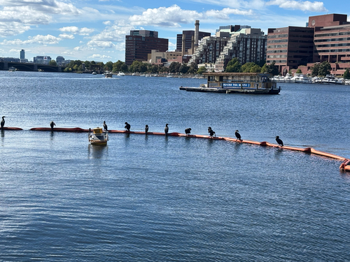
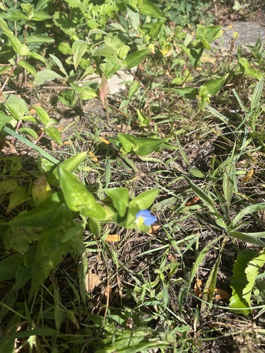
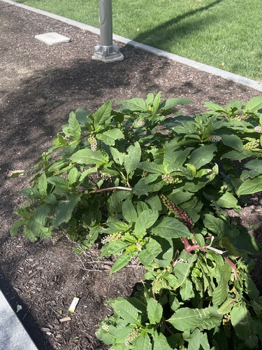
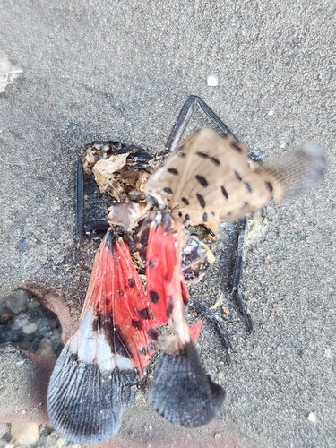
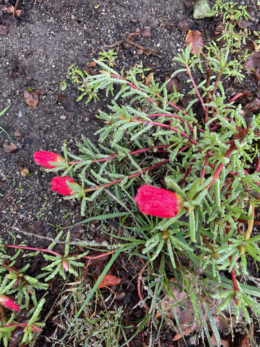
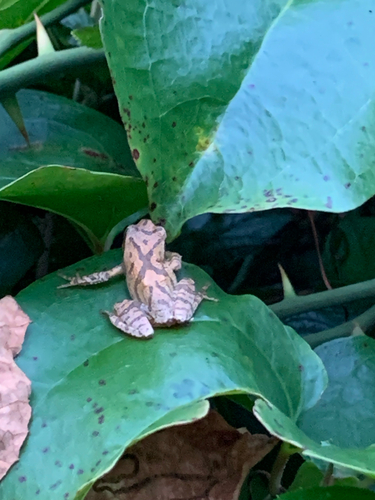

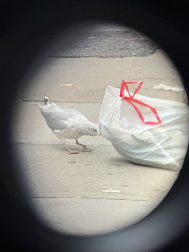
Research-grade observations from iNaturalist (within ~15 mi).
Nearest stream gauge
Events
Gallery
Sources
- • Wikipedia
- • US Census Bureau (ACS 5-year estimates)
- • NOAA National Weather Service
- • Wikidata
- • USGS Earthquake Catalog (global feed)
- • NCES via Urban Institute Education Data Portal
- • GBIF (Global Biodiversity Information Facility)
- • iNaturalist
- • CDC PLACES
- • Open-Meteo / sunrise-sunset.org
- • Wikipedia Pageviews API
- • Open Library
- • Wikidata SPARQL (CC0) — population, area, elevation, inception, head of government, Commons image