Browse / United States / Massachusetts / Newton
Newton
Massachusettscity

Newton
Total population
89,044
Median home value
$1,264,900
Bachelor's+
Median income
$190,304
Founded
1688
Air quality index
Demographic figures from US Census Bureau · ACS 5-year estimates. Overview below cites Wikipedia and may reference a different year.
City facts
Sister cities
Facts from Wikidata (CC0).
Overview
Newton is a city in Middlesex County, Massachusetts, United States. It is located roughly 8 miles (13 km) west of Downtown Boston, and comprises a patchwork of thirteen villages. The city borders Boston to the northeast and southeast, Brookline to the east, Watertown and Waltham to the north, and Weston, Wellesley, and Needham to the west. According to the U.S. Census Bureau's 2025 estimates, the population of Newton, Massachusetts was 90,741.
Read more on WikipediaHistory & geography
History
Newton was originally part of "the newe towne", which was settled in 1630 and renamed Cambridge in 1638. The first English settlement of what is now Newton began in 1639. Roxbury minister John Eliot persuaded the Native American people of Nonantum, a sub-tribe of the Massachusett led by a sachem named Waban, to relocate to Natick in 1651, fearing that they would be exploited by colonists. Newton was incorporated as a separate town, known as Cambridge Village, on December 15, 1681, then renamed Newtown in 1691, and finally Newton in 1766. It became a city on January 5, 1874. Newton is known as The Garden City. In the early 1600s, Watertown had claimed a large area of land on the south side of the Charles River (modern-day Newton). They gave it up to Newtown, except for a strip "two hundred rods long and sixty rods wide" to "protect their fishing privileges". In Reflections in Bullough's Pond, Newton historian Diana Muir describes the early industries that developed in the late 18th and early 19th centuries in a series of mills built to take advantage of the water power available at Newton Upper Falls and Newton Lower Falls. Snuff, chocolate, glue, paper and other products were produced in these small mills but, according to Muir, the water power available in Newton was not sufficient to turn Newton into a manufacturing city, although it was, beginning in 1902, the home of the Stanley Motor Carriage Company, the maker of the Stanley Steamer. Nineteenth-century Newton, following the American Civil War, was a patchwork of villages. The northern villages of Auburndale, Newton Corner, Newtonville, and West Newton were the most affluent. In contrast, both Waban and Chestnut Hill were sparsely populated. Each April on Patriots' Day, the Boston Marathon is run through the…
Geography
Newton is a suburban city approximately from downtown Boston, in Middlesex County. It is also bordered by Waltham and Watertown on the north, Needham and the West Roxbury neighborhood of Boston on the south, Wellesley and Weston on the west, and Brookline and the Brighton neighborhood of Boston on the east. The Charles River flows along the north and west parts of Newton, and Route 128 passes through the western part of the city. The Mass Pike passes through the more urbanized northern section of the city before heading into Boston. Additional major highways in Newton include Route 9, serving the southern parts of the city, and Hammond Pond Parkway, which is the main north–south route through Chestnut Hill and provides access to Brookline and West Roxbury. According to the United States Census Bureau, the city has a total area of , of which is land and (0.82%) is water. Geologically Newton is located within the topographic lowland of the Boston Basin of the Appalachian Mountain chain. This lowland is surrounded by a ring of highland drumlins which were left after the last glaciation twelve thousand years ago. There are several unique outcroppings of rocks around Newton where geologic history revealing of how territory have formed and has changed over the past hundreds millions of years of drift supercontinents and ancient oceans, earthquake activity associated with volcanism and related faulting activity and changing climate. There are mainly three types of bedrock: Roxbury Conglomerate, Cambridge Argillite or Slate, and Brighton Volcanics and the Mattapan Volcanics pre-Cambrian foundation of Dedham Granodiorite. The Boston Border Fault and the Shawmut anticline of Newton formed as the alpine mountains of east-central Massachusetts were created. Unique…
Excerpted from the corresponding Wikipedia article (CC BY-SA).
Demographics & economy
Race & ethnicity
Source: US Census Bureau — American Community Survey, 5-year estimates.
Geography
Coordinates & boundaries from the US Census TIGER/Line shapefiles.
Climate
Current forecast
Forecast for Newton, MA from NOAA NWS API.
Air quality
Current readings from Open-Meteo Air Quality API (Copernicus CAMS European reanalysis).
Industrial & pollution facilities
Natural hazard risk
Health (adults)
Age-adjusted prevalence estimates from CDC PLACES (latest release).
Walkability
Amenities nearby
Wildlife & biodiversity
Most-observed species
- American RobinTurdus migratorius Linnaeus, 1766 · Aves176,294
- Blue JayCyanocitta cristata (Linnaeus, 1758) · Aves165,792
- Northern CardinalCardinalis cardinalis (Linnaeus, 1758) · Aves146,618
- Black-capped ChickadeePoecile atricapillus (Linnaeus, 1766) · Aves138,587
- Mourning DoveZenaida macroura (Linnaeus, 1758) · Aves133,747
- House SparrowPasser domesticus (Linnaeus, 1758) · Aves130,930
- Song SparrowMelospiza melodia (A.Wilson, 1810) · Aves129,023
- Downy WoodpeckerDryobates pubescens (Linnaeus, 1766) · Aves115,894
Citizen-science & research observations from the Global Biodiversity Information Facility (GBIF).
Schools
Earthquake history
Most recent
- M 3.8 — 2025-01-279 km SE of York Harbor, Maine
- M 3.6 — 2020-11-0810 km S of Bliss Corner, Massachusetts
- M 2.7 — 2018-02-150 km SE of East Kingston, New Hampshire
- M 2.6 — 2015-01-132 km E of Wauregan, Connecticut
- M 3.3 — 2015-01-120 km NE of Wauregan, Connecticut
- M 2.5 — 2007-10-192 km WSW of Littleton Common, Massachusetts
Events from the USGS Earthquake Catalog (global) (FDSN Event Web Service).
Photos
Sights & places nearby
Notable people from here


People born within ~10 km, from Wikidata (CC0). Click any name for their Wikipedia article.
Nearby places in Massachusetts
- Cochituate7.4 mi away
- Peabody18.6 mi away · pop. 54,695
- Boxford25.6 mi away · pop. 2,284
- Duxbury33.6 mi away · pop. 1,994
- Amesbury Town38.1 mi away
- Ocean Grove41.7 mi away · pop. 3,453
- Bourne51.4 mi away · pop. 1,806
- Yarmouth Port66.6 mi away · pop. 5,961
- Chicopee70.5 mi away · pop. 55,295
- Deerfield72.6 mi away · pop. 458
- Harwich Center73.4 mi away · pop. 1,774
- Cheshire100.9 mi away · pop. 674
Geography & sun
Elevation, sunrise/sunset and daylight from Open-Meteo. Solar climatology from NASA POWER.
Nearby airports
Public attention
Pageview totals from the Wikimedia Pageviews API.
Books about Newton

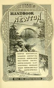


Search results from Open Library.
Recent natural events nearby
Ground air-quality sensors
Recently spotted species
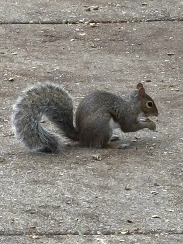
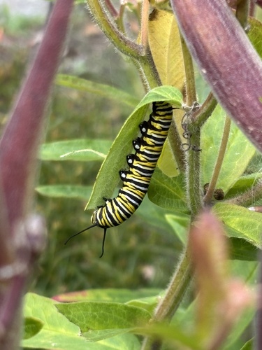
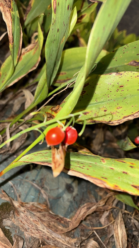
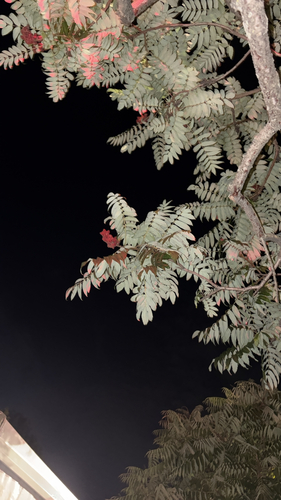
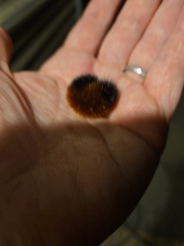
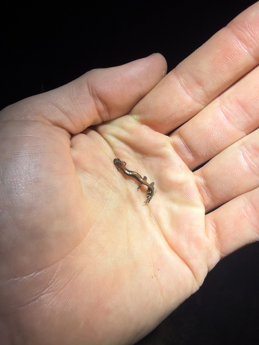
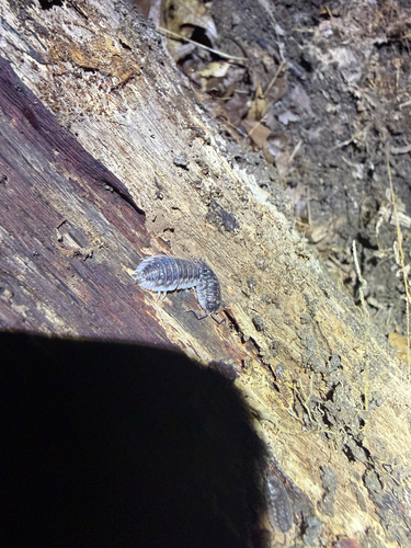
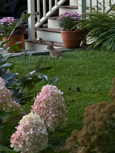
Research-grade observations from iNaturalist (within ~15 mi).
Nearest stream gauge
Events
Gallery
Sources
- • Wikipedia
- • US Census Bureau (ACS 5-year estimates)
- • NOAA National Weather Service
- • Wikidata
- • Open-Meteo Air Quality (CAMS)
- • USGS Earthquake Catalog (global feed)
- • GBIF (Global Biodiversity Information Facility)
- • iNaturalist
- • CDC PLACES
- • Open-Meteo / sunrise-sunset.org
- • Wikipedia Pageviews API
- • Open Library
- • Wikidata SPARQL (CC0) — population, area, elevation, inception, head of government, Commons image