Browse / United States / Massachusetts / Rowley
Rowley
MassachusettsCDP

Rowley
Total population
1,708
Median home value
$614,800
Bachelor's+
Median income
$109,622
Founded
1638
Demographic figures from US Census Bureau · ACS 5-year estimates. Overview below cites Wikipedia and may reference a different year.
City facts
Facts from Wikidata (CC0).
Overview
Rowley is a town in Essex County, Massachusetts, United States. The population was 6,161 at the 2020 census.
Read more on WikipediaHistory & geography
History
The area was inhabited by the Agawam people under sachem Masconomet. Although the area that would become Rowley was colonized by English settlers starting in 1639, it was not until 1700 that the town would pay Masoconomet's heirs nine pounds for a quitclaim deed. In spring of 1638 Rowley was originally colonized as a plantation by Reverend Ezekiel Rogers, who had arrived from England on the ship John of London with approximately twenty families. Thomas Tenney was a co-founder of Rowley, Massachusetts, and was part of the group led by Reverend Ezekiel Rogers that settled the town in 1639. He came from Rowley, East Yorkshire, England, with his wife Ann, and was an original settler of the area, which was first known as Rogers Plantation. The John of London also brought over the first printing press in the colonies, which was later brought to Harvard University. The following fall, on September 4, 1639, the town was incorporated, and included portions of modern-day Byfield, Groveland, Georgetown, and Haverhill. The town was named after Rowley, East Riding of Yorkshire, where Rogers had served as pastor for twenty years before his suspension due to non-conformist Puritan beliefs. Rogers was installed as Rowley's pastor on December 3. 1643 and 1645 saw the construction of a fulling mill and grist mill, respectively. The town became known for its hemp and flax cloth, as well as cotton. In 1642, a keystone arch bridge and a dam were built on the Mill River for the fulling mill, the first such in the colonies. The bridge was the first stone arch bridge in North America, constructed entirely of hand-chiseled granite and contained no mortar. It was rebuilt in the mid-19th century. In 1669, a sawmill was established in town and is still in business today. A wagon factory was…
Geography
According to the United States Census Bureau, the town has a total area of , of which is land and , or 10.56%, is water. Rowley lies along the Atlantic Ocean north of Cape Ann, the mainland separated from the ocean by a small portion of Plum Island and Plum Island Sound. The island and a portion of the marshes south of Mud Creek (part of the town's northern border) are protected as part of the Parker River National Wildlife Refuge. The town has other portions which are protected, including parts of the Mill Creek Wildlife Management Area, the Georgetown-Rowley State Forest, the Willowdale State Forest, the Arthur Ewell Reservation, and the Bay Circuit Trail. Much of the eastern mainland part of town is marshy, feeding Mud Creek, Mill River and the Rowley River, which constitutes part of the town's southern border. This marsh is a portion of the Great Marsh, a major salt marsh which covers the coastal area of the North Shore from Cape Ann north to southern New Hampshire. Rowley is located south of Newburyport, north of Salem, east of Lawrence, and northeast of Boston. It is bordered to the north by Newbury, to the northwest by Georgetown, to the west by Boxford, and the south by Ipswich. Interstate 95 passes through the western end of town, with the nearest exits being in Georgetown and Boxford. U.S. Route 1, known as the Newburyport Turnpike in the area, passes near the geographic center of town, and Massachusetts Route 1A passes through the eastern part of town, through the town center. All three roads are connected by Massachusetts Route 133, which passes from west to east through the town, becoming coextensive with Route 1A just north of the Ipswich town line and heading south with it. Rowley is one of the stations along the Newburyport/Rockport Line…
Excerpted from the corresponding Wikipedia article (CC BY-SA).
Demographics & economy
Race & ethnicity
Source: US Census Bureau — American Community Survey, 5-year estimates.
Geography
Coordinates & boundaries from the US Census TIGER/Line shapefiles.
Climate
Current forecast
Forecast for Rowley, MA from NOAA NWS API.
Air quality
Industrial & pollution facilities
Natural hazard risk
Health (adults)
Age-adjusted prevalence estimates from CDC PLACES (latest release).
Walkability
Amenities nearby
Wildlife & biodiversity
Most-observed species
- Song SparrowMelospiza melodia (A.Wilson, 1810) · Aves56,550
- Black-capped ChickadeePoecile atricapillus (Linnaeus, 1766) · Aves54,512
- American herring gull, Smithsonian GullLarus smithsonianus Coues, 1862 · Aves52,847
- American RobinTurdus migratorius Linnaeus, 1766 · Aves52,799
- Blue JayCyanocitta cristata (Linnaeus, 1758) · Aves50,915
- Northern CardinalCardinalis cardinalis (Linnaeus, 1758) · Aves50,170
- Canada Goose (canadensis Group)Branta canadensis (Linnaeus, 1758) · Aves47,900
- MallardAnas platyrhynchos Linnaeus, 1758 · Aves45,870
Citizen-science & research observations from the Global Biodiversity Information Facility (GBIF).
Schools
Earthquake history
Most recent
- M 3.8 — 2025-01-279 km SE of York Harbor, Maine
- M 2.7 — 2023-12-235 km SW of Chichester, New Hampshire
- M 2.6 — 2021-12-0738 km SE of Old Orchard Beach, Maine
- M 2.7 — 2018-02-150 km SE of East Kingston, New Hampshire
- M 2.8 — 2016-03-214 km ESE of Warner, New Hampshire
- M 2.61 — 2013-10-11New Hampshire
Events from the USGS Earthquake Catalog (global) (FDSN Event Web Service).
Photos
Sights & places nearby
Notable people from here


People born within ~10 km, from Wikidata (CC0). Click any name for their Wikipedia article.
Nearby places in Massachusetts
- Boxford7 mi away · pop. 2,284
- Amesbury Town10.3 mi away
- Peabody13.7 mi away · pop. 54,695
- Cochituate36.6 mi away
- Duxbury47.5 mi away · pop. 1,994
- Bourne69.3 mi away · pop. 1,806
- Ocean Grove70.6 mi away · pop. 3,453
- Yarmouth Port77.3 mi away · pop. 5,961
- Harwich Center81.9 mi away · pop. 1,774
- Deerfield89 mi away · pop. 458
- Chicopee94.5 mi away · pop. 55,295
- Cheshire117.2 mi away · pop. 674
Geography & sun
Elevation, sunrise/sunset and daylight from Open-Meteo. Solar climatology from NASA POWER.
Nearby airports
Public attention
Pageview totals from the Wikimedia Pageviews API.
Books about Rowley

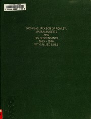


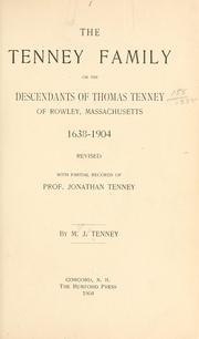
Search results from Open Library.
Recent natural events nearby
Ground air-quality sensors
Recently spotted species
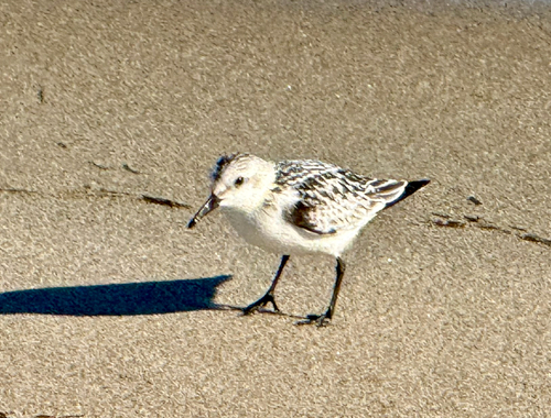
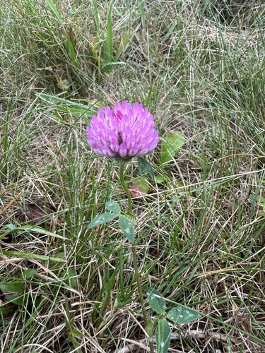
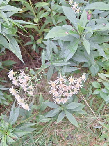
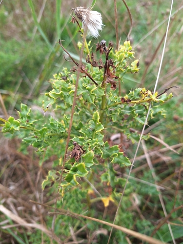
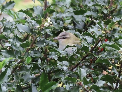
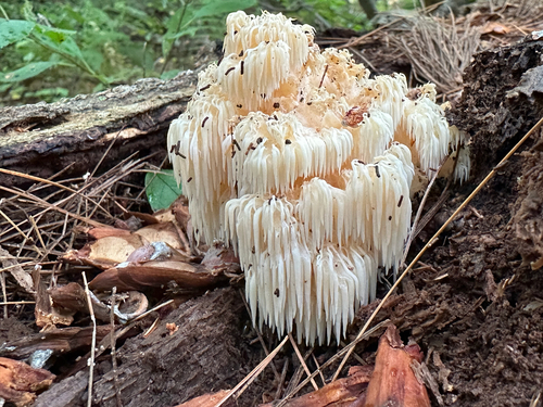
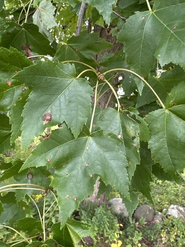
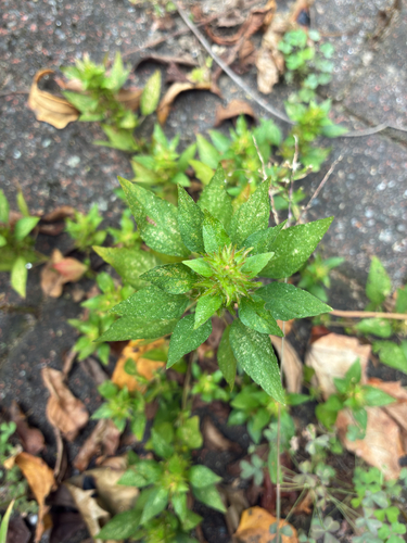
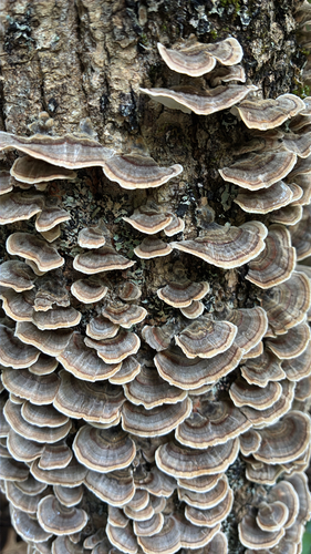
Research-grade observations from iNaturalist (within ~15 mi).
Nearest stream gauge
Events
Gallery
Sources
- • Wikipedia
- • US Census Bureau (ACS 5-year estimates)
- • NOAA National Weather Service
- • Wikidata
- • USGS Earthquake Catalog (global feed)
- • GBIF (Global Biodiversity Information Facility)
- • iNaturalist
- • CDC PLACES
- • Open-Meteo / sunrise-sunset.org
- • Wikipedia Pageviews API
- • Open Library
- • Wikidata SPARQL (CC0) — population, area, elevation, inception, head of government, Commons image