Browse / United States / Massachusetts / Salem
Salem
Massachusettscity

Salem
Total population
44,795
Median home value
$542,800
Bachelor's+
Median income
$85,153
Founded
1626
Demographic figures from US Census Bureau · ACS 5-year estimates. Overview below cites Wikipedia and may reference a different year.
City facts
Facts from Wikidata (CC0).
Overview
Salem is a historic coastal city in Essex County, Massachusetts, United States, located on the North Shore of Greater Boston. Continuous settlement by Europeans began in 1626 with English colonists. Salem was one of the most significant seaports for trading commodities in early American history. Prior to the dissolution of county governments in Massachusetts in 1999, it served as one of two county seats for Essex County, alongside Lawrence.
Read more on WikipediaHistory & geography
History
Native Americans lived in northeastern Massachusetts for thousands of years prior to European colonization of the Americas. The peninsula that would become Salem was known as Naumkeag (alternate spellings Naemkeck, Nahumkek, Neumkeage) by the Native people who lived there at the time of contact in the early 1600s. Naumkeag was a major settlement for the Indigenous group that controlled territory from the Merrimack to the Mystic rivers. The English and other Europeans referred to them as the Naumkeag people. There are probable Indigenous settlement sites near the mouths of the North, South, and Forest rivers in Salem. The contact period was a disastrous time for the Naumkeag. Many Naumkeag died in a war with the Tarrantine and as a result of a smallpox epidemic in 1617–1619, including their powerful sachem Nanepashemet. The disease had probably been contracted by members who came into contact with European fishermen or explorers. Their strength was reduced just prior to the arrival of English settlers in 1626 to what became modern-day Salem. In 1633, a second smallpox epidemic struck, killing two of Nanepashemet's successors, Montowompate and Wonohaquaham, and leaving his remaining heir Wenepoykin scarred. So it was that English settlers met little resistance on their arrival in Salem. Although Wenepoykin would join Metacomet in King Philip's War in 1675, the English settlers at this point had the numerical superiority to defeat Metacomet's Indigenous coalition. It was not until 1686, when the Massachusetts Bay Colony Charter was recalled by King James II in the creation of the Dominion of New England that Wenepoykin's heirs pressed their claim to the land of Salem, for which they were paid twenty pounds. arrived from Cape Ann led by Roger Conant. Conant's leadership…
Geography
According to the United States Census Bureau, the city has a total area of , of which is land and , or 55.09%, is water. Salem lies on Massachusetts Bay between Salem Harbor, which divides the city from much of neighboring Marblehead to the southeast, and Beverly Harbor, which divides the city from Beverly along with the Danvers River, which feeds into the harbor. Between the two harbors lies Salem Neck and Winter Island, which are divided from each other by Cat Cove, Smith Pool (located between the two land causeways to Winter Island), and Juniper Cove. The city is further divided by Collins Cove and the inlet to the North River. The Forest River flows through the southern end of town, along with Strong Water Brook, which feeds Spring Pond at the town's southwestern corner. The town has several parks, as well as conservation land along the Forest River and Camp Lion, which lies east of Spring Pond. The city is divided by its natural features into several small neighborhoods. The Salem Neck neighborhood lies northeast of downtown, and North Salem lies to the west of it, on the other side of the North River. South Salem is south of the South River, lying mostly along the banks of Salem Harbor southward. Downtown Salem lies northeast of Boston, southwest of Gloucester and Cape Ann, and southeast of Lawrence, the other county seat of Essex County. Salem is bordered by Beverly to the north, Danvers to the northwest, Peabody to the west, Lynn to the south, Swampscott to the southeast, and Marblehead to the southeast. The town's water rights extend along a channel into Massachusetts Bay between the water rights of Marblehead and Beverly. According to the Köppen climate classification, Salem has either a humid subtropical climate (abbreviated Cfa), or a hot-summer humid…
Excerpted from the corresponding Wikipedia article (CC BY-SA).
Demographics & economy
Race & ethnicity
Source: US Census Bureau — American Community Survey, 5-year estimates.
Geography
Coordinates & boundaries from the US Census TIGER/Line shapefiles.
Climate
Current forecast
Forecast for Salem, MA from NOAA NWS API.
Air quality
Industrial & pollution facilities
Natural hazard risk
Health (adults)
Walkability
Amenities nearby
Wildlife & biodiversity
Schools
Earthquake history
Photos
Sights & places nearby
Notable people from here


People born within ~10 km, from Wikidata (CC0). Click any name for their Wikipedia article.
Nearby places in Massachusetts
- Peabody4.4 mi away · pop. 54,695
- Boxford12.2 mi away · pop. 2,284
- Amesbury Town24.5 mi away
- Cochituate26 mi away
- Duxbury33.4 mi away · pop. 1,994
- Bourne55 mi away · pop. 1,806
- Ocean Grove55.6 mi away · pop. 3,453
- Yarmouth Port64.8 mi away · pop. 5,961
- Harwich Center70.2 mi away · pop. 1,774
- Deerfield86.8 mi away · pop. 458
- Chicopee88.2 mi away · pop. 55,295
- Cheshire115.4 mi away · pop. 674
Geography & sun
Nearby airports
Public attention
Books about this place
Recent natural events nearby
Ground air-quality sensors
Recently spotted species
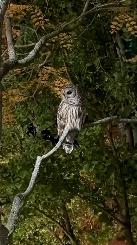
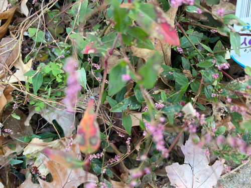
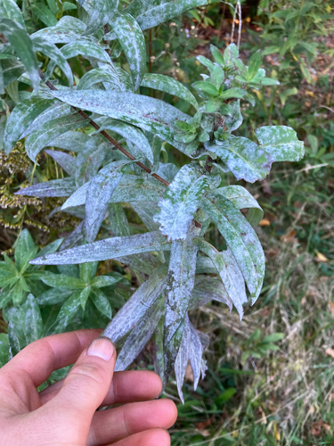
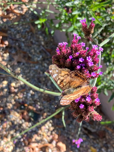

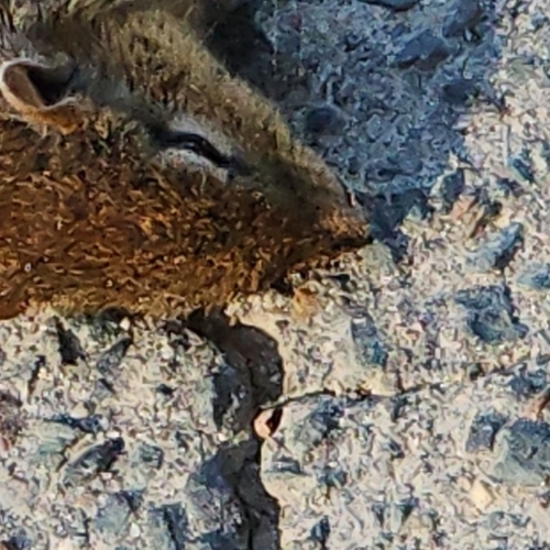
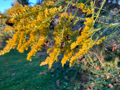
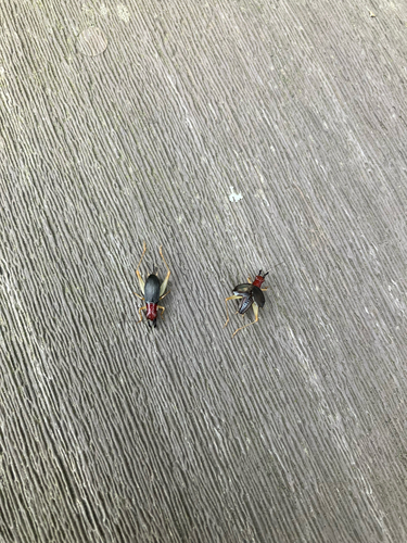
Research-grade observations from iNaturalist (within ~15 mi).
Nearest stream gauge
Events
Gallery
Sources
- • Wikipedia
- • US Census Bureau (ACS 5-year estimates)
- • NOAA National Weather Service
- • Wikidata
- • iNaturalist
- • Wikidata SPARQL (CC0) — population, area, elevation, inception, head of government, Commons image