Browse / United States / Massachusetts / Scituate
Scituate
MassachusettsCDP

Scituate
Total population
5,796
Median home value
$821,600
Bachelor's+
Median income
$124,549
Founded
1630
Demographic figures from US Census Bureau · ACS 5-year estimates. Overview below cites Wikipedia and may reference a different year.
- Coastal Flood Warning · SevereCoastal Flood Warning issued September 25 at 12:35PM EDT until September 27 at 8:00PM EDT by NWS Boston/Norton MA
- High Surf Advisory · MinorHigh Surf Advisory issued September 25 at 12:35PM EDT until September 27 at 8:00PM EDT by NWS Boston/Norton MA
- High Wind Warning · SevereHigh Wind Warning issued September 25 at 12:30PM EDT until September 27 at 8:00AM EDT by NWS Boston/Norton MA
Source: NOAA National Weather Service.
City facts
Facts from Wikidata (CC0).
Overview
Scituate is a seacoast town in Plymouth County, Massachusetts, United States, on the South Shore, midway between Boston and Plymouth. The population was 19,063 at the 2020 census.
Read more on WikipediaHistory & geography
History
The area was inhabited by Indigenous peoples for thousands of years, with archaeological evidence from southeastern Massachusetts indicating human presence dating back over 10,000 years (Paleo-Indian through Woodland periods). At the time of European contact in the 17th century, the region was part of Wampanoag territory. The name Scituate is derived from "satuit", an Indian word understood by early English settlers to mean "cold brook"; it refers to the brook that runs into the town's inner harbor (early spellings included Sityate, Cituate, and Seteat). English settlement began around 1627 or 1628 with a group from Plymouth Colony, who were joined by additional settlers from the county of Kent in England. They were initially governed by the General Court of Plymouth Colony. On October 5, 1636, the town was incorporated as a separate entity. The Williams-Barker House, which still remains near the harbor, is believed to have been built in 1634. Twelve homes and a sawmill were destroyed in King Philip's War in 1676. In 1710, several Europeans from Scituate emigrated to Rhode Island and founded Scituate, Rhode Island. In 1717, the western portion of the original land grant was separated and incorporated as the town of Hanover, and in 1788, a section of the town was ceded to Marshfield. In 1849, another western section became the town of South Scituate, which later changed its name to Norwell. Since then, the borders have remained essentially unchanged. Fishing was a significant part of the local economy in the past, as was the sea mossing industry. The sea was historically an integral part of the town with occasional incidents such as that described February 13, 1894, in which eight men clinging to the vessel's rigging on a schooner grounded off Third Cliff…
Geography
According to the United States Census Bureau, the town has a total area of , of which is land and , or 44.60%, is water. Scituate is bordered on the east by Massachusetts Bay, on the south by Marshfield, on the west by Norwell and Hingham, all of which are in Plymouth County, and on the northwest by Cohasset, in Norfolk County. The town is northeast of Brockton and southeast of Boston. Scituate is considered a South Shore community, located just south of the mouth of greater Boston Harbor. The town is not contiguous; Humarock is a part of Scituate which can only be reached from Marshfield. The latter was formerly connected to the town, but that connection was lost when the mouth of the South River shifted northward as the result of the Portland Gale of 1898. The town's shore varies, with the south (along the mouth of the North River) being surrounded by salt marshes, the middle (around Scituate Harbor) being sandy, and the coast of Scituate Neck (Minot) in the north exhibiting exposed granite bedrock. It is off these rocks that Minot's Ledge lies, home to the town's most famous lighthouse. The inland of the town is mostly wooded, with several brooks and rivers (including Satuit or "Cold Brook", for which the town is named) running through. Scituate has five public beaches: Minot, Sand Hills, Egypt, Peggotty, and Humarock. The town has no freeways running through it; Massachusetts Route 3 runs through neighboring Norwell. Route 3A runs through the town, and is known as Chief Justice Cushing Highway for this stretch, named for Chief Justice William Cushing (1732–1810). The only other state highway in town is Route 123, which terminates at Route 3A, just from the town line. There is no air service in town; the closest regional airport is Marshfield…
Excerpted from the corresponding Wikipedia article (CC BY-SA).
Demographics & economy
Race & ethnicity
Source: US Census Bureau — American Community Survey, 5-year estimates.
Geography
Coordinates & boundaries from the US Census TIGER/Line shapefiles.
Climate
Current forecast
Forecast for Scituate, MA from NOAA NWS API.
Air quality
Industrial & pollution facilities
Natural hazard risk
Health (adults)
Age-adjusted prevalence estimates from CDC PLACES (latest release).
Walkability
Amenities nearby
Wildlife & biodiversity
Most-observed species
- Blue JayCyanocitta cristata (Linnaeus, 1758) · Aves15,554
- Northern CardinalCardinalis cardinalis (Linnaeus, 1758) · Aves15,187
- Black-capped ChickadeePoecile atricapillus (Linnaeus, 1766) · Aves14,344
- American RobinTurdus migratorius Linnaeus, 1766 · Aves14,218
- Song SparrowMelospiza melodia (A.Wilson, 1810) · Aves13,517
- Tufted TitmouseBaeolophus bicolor (Linnaeus, 1766) · Aves13,185
- White-breasted NuthatchSitta carolinensis Latham, 1790 · Aves10,955
- Carolina WrenThryothorus ludovicianus (Latham, 1790) · Aves10,830
Citizen-science & research observations from the Global Biodiversity Information Facility (GBIF).
Schools
Largest nearby schools
- Marshfield HighHigh · Marshfield · 1,190 students · 11.8:1 ratio
- Hingham HighHigh · Hingham · 1,167 students · 12.7:1 ratio
- South Shore Charter Public SchoolOther · Norwell · 1,054 students · 11.5:1 ratio
- Duxbury HighHigh · Duxbury · 927 students · 12.2:1 ratio
- Furnace Brook MiddleMiddle · Marshfield · 868 students · 11.1:1 ratio
- Hingham Middle SchoolMiddle · Hingham · 844 students · 11.3:1 ratio
- Hanover MiddleMiddle · Hanover · 801 students · 12.7:1 ratio
- Scituate High SchoolHigh · Scituate · 763 students · 12.3:1 ratio
Public K–12 schools within ~10 mi from Urban Institute Education Data Portal (NCES Common Core of Data, 2022).
Earthquake history
Most recent
- M 3.8 — 2025-01-279 km SE of York Harbor, Maine
- M 3.6 — 2020-11-0810 km S of Bliss Corner, Massachusetts
- M 2.7 — 2018-02-150 km SE of East Kingston, New Hampshire
- M 2.9 — 2010-06-0729 km SE of York Beach, Maine
- M 2.8 — 2008-03-0925 km SE of York Beach, Maine
- M 2.5 — 2007-10-192 km WSW of Littleton Common, Massachusetts
Events from the USGS Earthquake Catalog (global) (FDSN Event Web Service).
Photos
Sights & places nearby
Notable people from here


People born within ~10 km, from Wikidata (CC0). Click any name for their Wikipedia article.
Nearby places in Massachusetts
- Duxbury9.8 mi away · pop. 1,994
- Peabody27.2 mi away · pop. 54,695
- Bourne31.6 mi away · pop. 1,806
- Cochituate33.2 mi away
- Boxford35.7 mi away · pop. 2,284
- Ocean Grove39.6 mi away · pop. 3,453
- Yarmouth Port42 mi away · pop. 5,403
- South Dennis44.5 mi away · pop. 3,899
- Amesbury Town47.7 mi away
- Harwich Center48.1 mi away · pop. 1,774
- Chicopee94 mi away · pop. 55,295
- Deerfield98.7 mi away · pop. 458
Geography & sun
Elevation, sunrise/sunset and daylight from Open-Meteo. Solar climatology from NASA POWER.
Nearby airports
Public attention
Pageview totals from the Wikimedia Pageviews API.
Books about Scituate
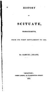


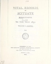

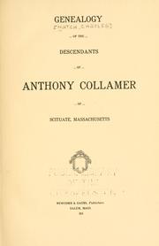

Search results from Open Library.
Recent natural events nearby
Ground air-quality sensors
Recently spotted species
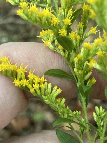
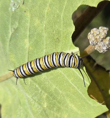
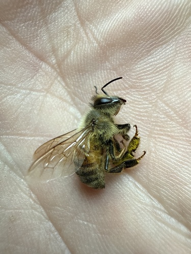
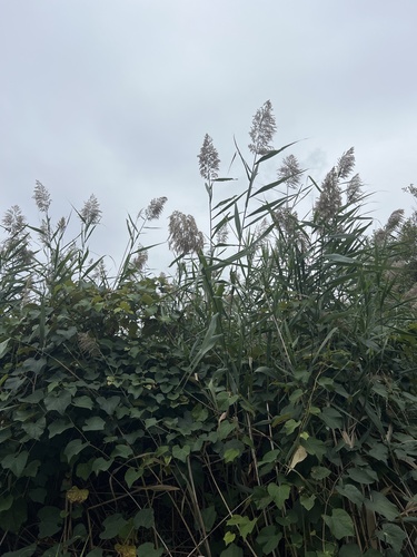
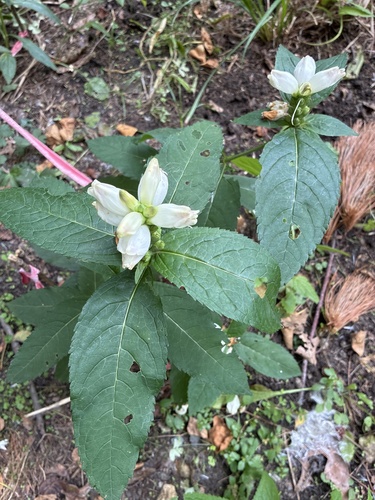
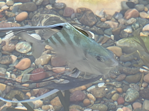
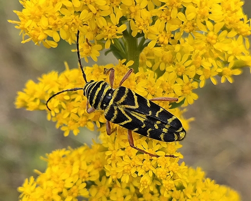
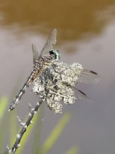
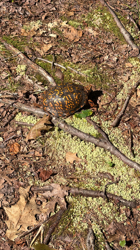
Research-grade observations from iNaturalist (within ~15 mi).
Nearest stream gauge
Events
Gallery
Sources
- • Wikipedia
- • US Census Bureau (ACS 5-year estimates)
- • NOAA National Weather Service
- • Wikidata
- • USGS Earthquake Catalog (global feed)
- • NCES via Urban Institute Education Data Portal
- • GBIF (Global Biodiversity Information Facility)
- • iNaturalist
- • CDC PLACES
- • Open-Meteo / sunrise-sunset.org
- • Wikipedia Pageviews API
- • Open Library
- • Wikidata SPARQL (CC0) — population, area, elevation, inception, head of government, Commons image