Browse / United States / Massachusetts / Wilbraham
Wilbraham
MassachusettsCDP

Wilbraham
Total population
3,679
Median home value
$400,300
Bachelor's+
Median income
$92,188
Founded
1730
Air quality index
Demographic figures from US Census Bureau · ACS 5-year estimates. Overview below cites Wikipedia and may reference a different year.
City facts
Facts from Wikidata (CC0).
Overview
Wilbraham is a town in Hampden County, Massachusetts, United States. It is a suburb of the City of Springfield, and part of the Springfield Metropolitan Statistical Area. The population was 14,613 at the 2020 census.
Read more on WikipediaHistory & geography
History
The area today known as the Town of Wilbraham first became of interest in 1636 when a young man named William Pynchon (founder of Springfield) purchased the area from the Nipmuc starting at the Connecticut River in Springfield and extending to the foot of the Wilbraham Mountain Range by 1674. Wilbraham was first settled in 1730 by Nathaniel Hitchcock along with what is now Hampden, Massachusetts, as the Fourth District of Springfield. It was also known as the Outward Commons, Mountains or Springfield Mountain. Hitchcock built a log hut along what is now Main Street. Hunting and logging took place in the late 17th century. Many town residents took part in both the French and Indian War and Revolutionary War, and at one time Wilbraham even had its own militia unit, which at one point was a field artillery battery and often supported the Hampshire Regiment. Wilbraham residents have also served in numerous wars since the French and Indian War. The first three selectmen were Lieutenant Thomas Mirick, Deacon Nathaniel Warriner and Stephen Stebbins. Stebbins was the first person to settle in the southern part of the precinct in modern-day Hampden when he built a house on the north side of the Scantic River in 1741. On August 7, 1761, on Wilbraham Mountain, a young man named Timothy Merrick was bitten by a rattlesnake and died soon afterward. Folklore and legend have made its way over the years about this incident including a song titled "On Springfield Mountain". The incident probably took place within what is now the adjoining town of Hampden, but at the time was still part of South Wilbraham—though some have claimed it was as far south as Connecticut. This song was one of the earliest of the American ballads. The hurricane of 1938 did considerable damage to the town and…
Geography
According to the United States Census Bureau, the town has a total area of 22.4 square miles (58.1 km), of which 22.2 square miles (57.5 km) is land and 0.2 square mile (0.5 km) (0.89%) is water. Wilbraham is bordered by Springfield on the west, Ludlow on the north, Palmer on the northeast, Monson on the east, Hampden on the south, and East Longmeadow on the southwest. Wilbraham is situated in such a way that its area lies within two broad physiographic provinces that cross Massachusetts from north to south. The Wilbraham Mountains which dominate the geography of the town are part of the Central Upland of Massachusetts, while the portion of town west of the mountains lies within the Connecticut Valley Lowland. Millions of years ago, the flat area of Wilbraham west of the mountains were once part of a shallow inland sea. Wilbraham also has the Wilbraham Mountains range, which starts at the north end of town and extends into Hampden. The highest point in town is Mt. Chapin at 937 feet above sea level. Other high peaks are Mount Vision (formerly Rattlesnake Peak) and Wigwam Hill.
Excerpted from the corresponding Wikipedia article (CC BY-SA).
Demographics & economy
Race & ethnicity
Source: US Census Bureau — American Community Survey, 5-year estimates.
Geography
Coordinates & boundaries from the US Census TIGER/Line shapefiles.
Climate
Current forecast
Forecast for Wilbraham, MA from NOAA NWS API.
Air quality
Current readings from Open-Meteo Air Quality API (Copernicus CAMS European reanalysis).
Industrial & pollution facilities
Natural hazard risk
Health (adults)
Age-adjusted prevalence estimates from CDC PLACES (latest release).
Walkability
Amenities nearby
Wildlife & biodiversity
Most-observed species
- Blue JayCyanocitta cristata (Linnaeus, 1758) · Aves28,766
- Northern CardinalCardinalis cardinalis (Linnaeus, 1758) · Aves28,160
- American RobinTurdus migratorius Linnaeus, 1766 · Aves26,133
- Black-capped ChickadeePoecile atricapillus (Linnaeus, 1766) · Aves25,975
- Tufted TitmouseBaeolophus bicolor (Linnaeus, 1766) · Aves23,206
- Mourning DoveZenaida macroura (Linnaeus, 1758) · Aves22,929
- Song SparrowMelospiza melodia (A.Wilson, 1810) · Aves21,060
- Downy WoodpeckerDryobates pubescens (Linnaeus, 1766) · Aves20,306
Citizen-science & research observations from the Global Biodiversity Information Facility (GBIF).
Schools
Largest nearby schools
- Springfield Central HighHigh · Springfield · 2,095 students · 13.1:1 ratio
- Springfield International Charter SchoolOther · Springfield · 1,520 students · 22.7:1 ratio
- Roger L. Putnam Vocational Technical AcademyHigh · Springfield · 1,360 students · 11.1:1 ratio
- Chicopee Comprehensive High SchoolHigh · Chicopee · 1,206 students · 11.4:1 ratio
- High School Of CommerceHigh · Springfield · 1,103 students · 7.9:1 ratio
- Springfield High School of Science and TechnologyHigh · Springfield · 1,087 students · 12.2:1 ratio
- Minnechaug Regional HighHigh · Wilbraham · 984 students · 13.9:1 ratio
- Chicopee HighHigh · Chicopee · 914 students · 11:1 ratio
Public K–12 schools within ~10 mi from Urban Institute Education Data Portal (NCES Common Core of Data, 2022).
Earthquake history
Most recent
- M 2.6 — 2015-01-132 km E of Wauregan, Connecticut
- M 3.3 — 2015-01-120 km NE of Wauregan, Connecticut
- M 2.66 — 2014-08-146 km SW of Deep River Center, Connecticut
- M 2.5 — 2007-10-192 km WSW of Littleton Common, Massachusetts
- M 2.5 — 2002-06-073 km NNW of Hopedale, Massachusetts
Events from the USGS Earthquake Catalog (global) (FDSN Event Web Service).
Photos
Sights & places nearby
Notable people from here


People born within ~10 km, from Wikidata (CC0). Click any name for their Wikipedia article.
Nearby places in Massachusetts
- Chicopee7.5 mi away · pop. 55,560
- Agawam Town12 mi away
- Ware12.7 mi away · pop. 10,066
- Easthampton Town15.1 mi away
- Amherst Town16.4 mi away
- Northampton18.1 mi away · pop. 29,571
- East Brookfield20.9 mi away
- Russell22.3 mi away · pop. 1,643
- Spencer24.2 mi away · pop. 11,992
- Deerfield29.9 mi away
- Upton42.5 mi away · pop. 8,000
- Clinton43.2 mi away
Geography & sun
Elevation, sunrise/sunset and daylight from Open-Meteo. Solar climatology from NASA POWER.
Nearby airports
Public attention
Pageview totals from the Wikimedia Pageviews API.
Books about Wilbraham

Search results from Open Library.
Recent natural events nearby
Ground air-quality sensors
Recently spotted species



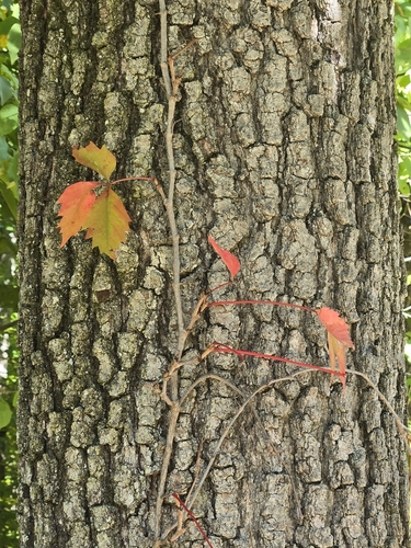
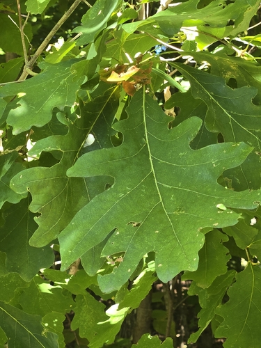
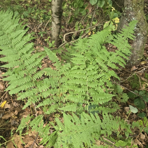
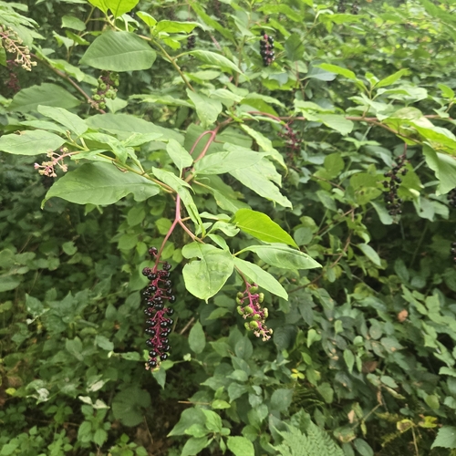
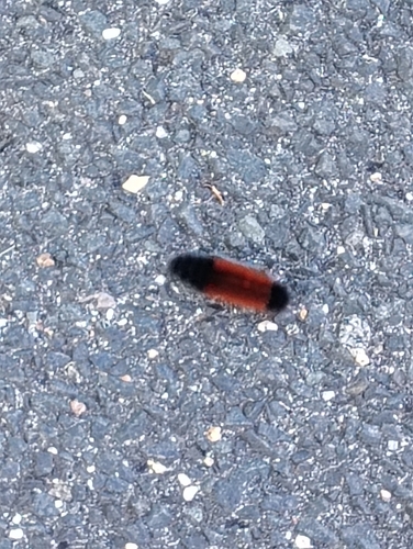

Research-grade observations from iNaturalist (within ~15 mi).
Nearest stream gauge
Live readings from USGS NWIS · measured 2026-06-03 17:00 UTC.
Events
Gallery
Sources
- • Wikipedia
- • US Census Bureau (ACS 5-year estimates)
- • NOAA National Weather Service
- • Wikidata
- • Open-Meteo Air Quality (CAMS)
- • USGS Earthquake Catalog (global feed)
- • USGS NWIS (water data)
- • NCES via Urban Institute Education Data Portal
- • GBIF (Global Biodiversity Information Facility)
- • iNaturalist
- • CDC PLACES
- • Open-Meteo / sunrise-sunset.org
- • Wikipedia Pageviews API
- • Open Library
- • Wikidata SPARQL (CC0) — population, area, elevation, inception, head of government, Commons image