Browse / United States / Maryland / Brandywine
Brandywine
MarylandCDP

Brandywine
Total population
12,160
Median home value
$551,000
Bachelor's+
Median income
$157,587
Demographic figures from US Census Bureau · ACS 5-year estimates. Overview below cites Wikipedia and may reference a different year.
City facts
Facts from Wikidata (CC0).
Overview
Brandywine is the name of an unincorporated area in Prince George's County, Maryland, United States, that refers both to a census-designated place (CDP) and a zip code area which is much larger (20613), whose areas overlap. The population of Brandywine at the 2020 U.S. census was 10,550 for the CDP, and the population of ZIP code 20613 was 11,860 in 2010.
Read more on WikipediaHistory & geography
History
William H. Early named the town of Brandywine as property he owned in the mid-19th century. The CDP consists of the property he owned in the 19th century. It is thought to be named after the Battle of Brandywine of the American Revolutionary War. Brandywine was developed on the Baltimore and Potomac Railroad's Pope Creek (Southern Maryland) line in about 1873 and was the only town on the route that developed into a railroad town. On September 1, 1877, around 4 p.m., a small 2.7 magnitude earthquake struck Brandywine. In 1912, the Bank of Brandywine was chartered from what had previously been the Southern Maryland German-American Bank. Although located between the substantial bedroom cities of Clinton and Waldorf, Brandywine remained rural until after the turn of the twenty-first century, when shopping centers—including big-box stores—and small residential developments were built. Despite the building of both a major highway overpass and a roundabout in 2019, the community is still notorious for traffic slowdowns due to both daily local commuters and interstate travelers. As of 2024, two new townhouse developments are under construction. The following is a list of historic sites in Brandywine, which includes Baden and T.B. identified by the Maryland-National Capital Park and Planning Commission, none of which are currently museums: {|class="wikitable sortable" style="width:98%" ! | ! width = 25% | Site Name ! width = 8% class="unsortable" | Image ! |Location ! class="unsortable" | M-NCPPC Inventory Number ! class="unsortable" | Comment |-- ! | 1 | Black Swamp School | | 19011 Croom Road | 87A-057 | Designated in 2009; Officially 1899 "Colored School No. 2, District 8" in Horsehead |-- ! | 2 | Black Walnut Thicket | | 15508 Letcher Road East | 86B-010 |…
Geography
The CDP and town are adjacent to the southern border of Prince George's County, lying east and west of busy Maryland Route 5/U.S. Route 301, which merge at Brandywine. Brandywine CDP is bordered by Accokeek to the west, Clinton and Rosaryville to the north, Croom to the northeast, and Cedarville to the southeast, all in Prince George's County. Waldorf in Charles County borders Brandywine to the south. The Brandywine zip code area encompasses parts of both counties and includes Cedarville and Baden. Designated as part of the Prince George's County rural tier, it is primarily rural with a suburban and commercial center.
Excerpted from the corresponding Wikipedia article (CC BY-SA).
Demographics & economy
Race & ethnicity
Source: US Census Bureau — American Community Survey, 5-year estimates.
Geography
Coordinates & boundaries from the US Census TIGER/Line shapefiles.
Climate
Air quality
Industrial & pollution facilities
Natural hazard risk
Health (adults)
Age-adjusted prevalence estimates from CDC PLACES (latest release).
Walkability
Amenities nearby
Wildlife & biodiversity
Schools
Largest nearby schools
- Accokeek AcademyElementary · Accokeek · 1,567 students · 16.7:1 ratio
- Oxon Hill HighHigh · Oxon Hill · 1,553 students · 18.5:1 ratio
- Chesapeake Math and IT South Public CharterOther · Upper Marlboro · 1,486 students · 18.1:1 ratio
- Frederick Douglass HighHigh · Upper Marlboro · 1,159 students · 17.8:1 ratio
- Gwynn Park HighHigh · Brandywine · 1,140 students · 17.3:1 ratio
- Crossland HighHigh · Temple Hills · 1,082 students · 12.4:1 ratio
- Friendly HighHigh · Fort Washington · 881 students · 16.3:1 ratio
- James Madison MiddleMiddle · Upper Marlboro · 873 students · 19:1 ratio
Public K–12 schools within ~10 mi from Urban Institute Education Data Portal (NCES Common Core of Data, 2022).
Earthquake history
Photos
Sights & places nearby
Notable people from here


People born within ~10 km, from Wikidata (CC0). Click any name for their Wikipedia article.
Nearby places in Maryland
Geography & sun
Elevation, sunrise/sunset and daylight from Open-Meteo. Solar climatology from NASA POWER.
Nearby airports
Public attention
Pageview totals from the Wikimedia Pageviews API.
Books about Brandywine


Search results from Open Library.
Recent natural events nearby
Ground air-quality sensors
Recently spotted species
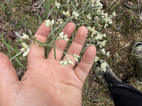
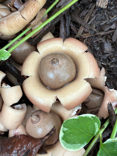
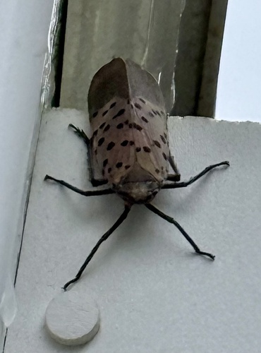
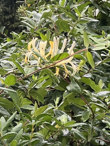
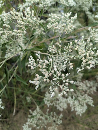

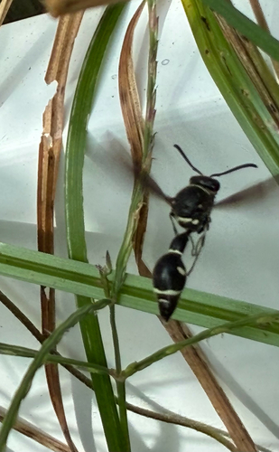
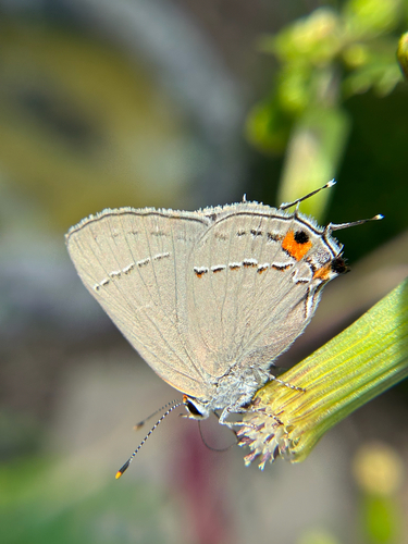
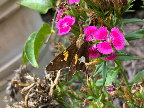
Research-grade observations from iNaturalist (within ~15 mi).
Nearest stream gauge
Events
Gallery
Sources
- • Wikipedia
- • US Census Bureau (ACS 5-year estimates)
- • Wikidata
- • NCES via Urban Institute Education Data Portal
- • iNaturalist
- • CDC PLACES
- • Open-Meteo / sunrise-sunset.org
- • Wikipedia Pageviews API
- • Open Library