Browse / United States / Maryland / La Plata
La Plata
Marylandtown

La Plata
Total population
10,683
Median home value
$428,400
Bachelor's+
Median income
$121,208
Demographic figures from US Census Bureau · ACS 5-year estimates. Overview below cites Wikipedia and may reference a different year.
City facts
Overview
La Plata is a town in Charles County, Maryland, United States. The population was 10,159 at the 2020 census. It is the county seat of Charles County.
Read more on WikipediaHistory & geography
History
According to an unconfirmed local story, the town was named by one Colonel Samuel Chapman, whose family owned of land in Charles County. The Colonel traveled to South America with his son George, who had contracted tuberculosis, in search of a cure. In his travels, the Colonel had apparently encountered the Río de la Plata, which flows through Argentina and Uruguay, thus naming a portion of his property "La Plata". In the 1870s, a section of the Pennsylvania Railroad had been constructed through the town of La Plata, leading to its 1888 incorporation. The La Plata courthouse had been built soon after the 1819 Port Tobacco courthouse caught fire in 1895 under suspicious circumstances. In 1904, the historic Christ Episcopal Church in Port Tobacco, which dates to 1683 and was reconstructed in 1884, was dismantled and its stones were then transported by oxen and cart to its current lot in La Plata. In 1940, the opening of the then Potomac River Bridge (later, the Governor Harry W. Nice Memorial Bridge), which carries U.S. Route 301 over the Potomac River, provided a link to King George, Virginia and brought long-distance east coast traffic through the town as an alternative to U.S. 1 and, later, Interstate 95. The bridge was replaced and widened in 2021. Despite being well outside the climatologically favored area for significant tornadoes, La Plata has been impacted by several throughout its history. The most recent tornado to strike the town was an EF1 on February 25th, 2017. 1926 On November 9, 1926, an unusual F4 tornado killed 17 people. Fourteen of them were from the La Plata Elementary School, which was totally destroyed. This is also the deadliest tornado in Maryland's history. 1994 On July 27, 1994, the town was struck by two nonfatal tornadoes,…
Geography
La Plata is located at (38.534258, -76.973377). On February 24, 2020, The Mayor and Town's Council unanimously adopted the Purple Martin as the official Town bird. According to the United States Census Bureau, the town has a total area of , of which is land and is water. The climate in this area is characterized by hot, humid summers and generally mild to cool winters. According to the Köppen Climate Classification system, La Plata has a humid subtropical climate, abbreviated "Cfa" on climate maps.
Excerpted from the corresponding Wikipedia article (CC BY-SA).
Demographics & economy
Race & ethnicity
Source: US Census Bureau — American Community Survey, 5-year estimates.
Geography
Coordinates & boundaries from the US Census TIGER/Line shapefiles.
Climate
Air quality
Industrial & pollution facilities
Natural hazard risk
Health (adults)
Walkability
Amenities nearby
Wildlife & biodiversity
Most-observed species
- Northern CardinalCardinalis cardinalis (Linnaeus, 1758) · Aves8,644
- Carolina WrenThryothorus ludovicianus (Latham, 1790) · Aves8,572
- Tufted TitmouseBaeolophus bicolor (Linnaeus, 1766) · Aves7,946
- Carolina ChickadeePoecile carolinensis (Audubon, 1834) · Aves7,058
- American CrowCorvus brachyrhynchos C.L.Brehm, 1822 · Aves6,761
- Red-bellied WoodpeckerMelanerpes carolinus (Linnaeus, 1758) · Aves6,189
- Eastern BluebirdSialia sialis (Linnaeus, 1758) · Aves6,073
- Blue JayCyanocitta cristata (Linnaeus, 1758) · Aves5,982
Citizen-science & research observations from the Global Biodiversity Information Facility (GBIF).
Schools
Earthquake history
Most recent
- M 2.5 — 2025-10-274 km E of Riverside, Maryland
- M 2.6 — 2021-06-252 km SE of Woodlawn, Maryland
- M 3 — 2010-10-0210 km NNW of Ashland, Virginia
- M 3.6 — 2010-07-165 km NNW of Barnesville, Maryland
Events from the USGS Earthquake Catalog (global) (FDSN Event Web Service).
Photos
Sights & places nearby
Notable people from here
Nearby places in Maryland
Geography & sun
Elevation, sunrise/sunset and daylight from Open-Meteo. Solar climatology from NASA POWER.
Nearby airports
Public attention
Pageview totals from the Wikimedia Pageviews API.
Books about La Plata


Search results from Open Library.
Recent natural events nearby
Ground air-quality sensors
Recently spotted species

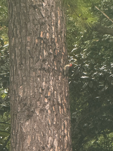
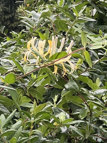

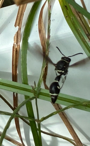

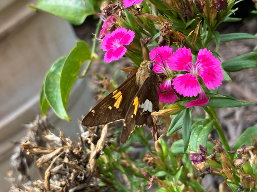
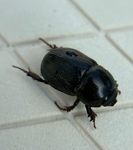

Research-grade observations from iNaturalist (within ~15 mi).
Nearest stream gauge
Events
Gallery
Sources
- • Wikipedia
- • US Census Bureau (ACS 5-year estimates)
- • USGS Earthquake Catalog (global feed)
- • GBIF (Global Biodiversity Information Facility)
- • iNaturalist
- • Open-Meteo / sunrise-sunset.org
- • Wikipedia Pageviews API
- • Open Library