Browse / United States / Maryland / Aquasco
Aquasco
MarylandCDP

Aquasco
Total population
719
Median home value
$531,300
Bachelor's+
Median income
$55,658
Demographic figures from US Census Bureau · ACS 5-year estimates. Overview below cites Wikipedia and may reference a different year.
City facts
Facts from Wikidata (CC0).
Overview
Aquasco is an unincorporated area and census-designated place in southeastern Prince George's County, Maryland, United States, surrounding the town of Eagle Harbor and bordering Charles County. As of the 2020 census, the CDP had a population of 913. Aquasco was home to the Aquasco Speedway.
Read more on WikipediaHistory & geography
History
Aquasco is named for a nearby tract first surveyed and patented in 1650. The name is derived from the Native American name Aquascake. Located between Swanson's Creek and the Patuxent River, the community developed as an agricultural center for the production of tobacco. The main roads connecting the widely scattered tobacco plantations were established in the 18th century and, in the early 19th century, the village of Woodville began to form. It was named after the Wood family, early settlers of Aquasco. By mid-century, the village had a grist mill, several small stores, a tavern, blacksmith, school, post office, and Methodist and Episcopal churches. Because of the number of plantations, the slave population was relatively high in this section of Prince George's County. The Freedmen's Bureau established a school at Woodville in 1867. The school later became home to John Wesley Methodist Episcopal Church. African Americans also worshiped at St. Mary's Episcopal Church, established in 1848 as a mission church of St. Paul's Parish Church, which later became St. Phillip's Episcopal Church. {|class="wikitable sortable" style="width:98%" ! | ! width = 25% | Site Name ! width = 8% class="unsortable" | Image ! |Location ! class="unsortable" | M-NCPPC Inventory Number ! class="unsortable" | Comment |-- ! | 1 | Adams-Bowen House | | 16002 Dr. Bowen Rd. | 87B-036-19 | |-- ! | 2 | P.A. Bowen Farmstead | | 15701 Dr. Bowen Rd. | 87B-036-20 | |-- ! | 3 | William R. Barker House | | 22600 Aquasco Rd. | 87B-036-14 | |-- ! | 4 | Green Hill | | 19404 Aquasco Rd. | 87A-011 | |-- ! | 5 | Grimes House | | 22609 Aquasco Rd. | 87B-036-16 | |-- ! | 6 | John Wesley Methodist Episcopal Church Site and Cemetery | | 22919 Christ Church Road | 87B-33 | Historic church…
Geography
Aquasco occupies the southeastern corner of Prince George's County and is centered on the intersection of Maryland Route 381, Aquasco Road, and Maryland Route 233, Dr. Bowen Road. The Patuxent River forms the eastern boundary of the community. As of the 2010 census, the CDP had a total area of , of which was land and , or 10.55%, was water, consisting primarily of the Patuxent River. The Aquasco CDP contains the Chalk Point Generating Station and surrounds the tiny incorporated town of Eagle Harbor.
Excerpted from the corresponding Wikipedia article (CC BY-SA).
Demographics & economy
Race & ethnicity
Source: US Census Bureau — American Community Survey, 5-year estimates.
Geography
Coordinates & boundaries from the US Census TIGER/Line shapefiles.
Climate
Current forecast
Forecast for Aquasco, MD from NOAA NWS API.
Air quality
Industrial & pollution facilities
Natural hazard risk
Health (adults)
Age-adjusted prevalence estimates from CDC PLACES (latest release).
Walkability
Amenities nearby
Wildlife & biodiversity
Most-observed species
- Northern CardinalCardinalis cardinalis (Linnaeus, 1758) · Aves15,548
- Carolina WrenThryothorus ludovicianus (Latham, 1790) · Aves14,721
- Tufted TitmouseBaeolophus bicolor (Linnaeus, 1766) · Aves11,521
- Mourning DoveZenaida macroura (Linnaeus, 1758) · Aves11,370
- American CrowCorvus brachyrhynchos C.L.Brehm, 1822 · Aves10,574
- Carolina ChickadeePoecile carolinensis (Audubon, 1834) · Aves9,915
- Red-bellied WoodpeckerMelanerpes carolinus (Linnaeus, 1758) · Aves9,612
- American GoldfinchSpinus tristis (Linnaeus, 1758) · Aves9,136
Citizen-science & research observations from the Global Biodiversity Information Facility (GBIF).
Schools
Largest nearby schools
- Baden ElementaryElementary · Brandywine · 226 students · 13.3:1 ratio
- William Schmidt Environmental CenterOther · Brandywine
Public K–12 schools within ~10 mi from Urban Institute Education Data Portal (NCES Common Core of Data, 2022).
Earthquake history
Most recent
- M 2.5 — 2025-10-274 km E of Riverside, Maryland
- M 2.6 — 2021-06-252 km SE of Woodlawn, Maryland
- M 3.6 — 2010-07-165 km NNW of Barnesville, Maryland
Events from the USGS Earthquake Catalog (global) (FDSN Event Web Service).
Photos
Sights & places nearby
Notable people from here


People born within ~10 km, from Wikidata (CC0). Click any name for their Wikipedia article.
Nearby places in Maryland
- Eagle Harbor1.8 mi away · pop. 72
- Huntingtown4.3 mi away · pop. 2,689
- Baden6 mi away · pop. 2,325
- Mechanicsville11.7 mi away · pop. 1,395
- Brandywine11.9 mi away · pop. 12,160
- St. Leonard13.7 mi away · pop. 726
- Queensland15 mi away
- La Plata15.1 mi away · pop. 10,683
- Long Beach15.2 mi away · pop. 1,849
- Upper Marlboro15.8 mi away · pop. 683
- Marlboro Village17.3 mi away · pop. 9,382
- Pomfret18.1 mi away · pop. 747
Geography & sun
Elevation, sunrise/sunset and daylight from Open-Meteo. Solar climatology from NASA POWER.
Nearby airports
Public attention
Pageview totals from the Wikimedia Pageviews API.
Books about this place
Recent natural events nearby
Ground air-quality sensors
Recently spotted species
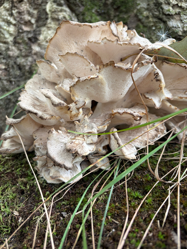
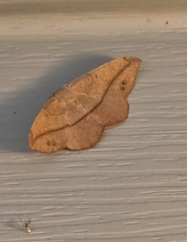
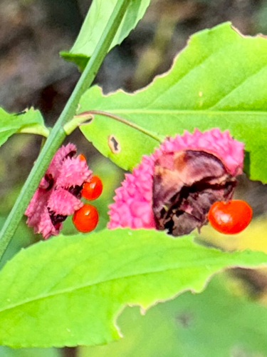
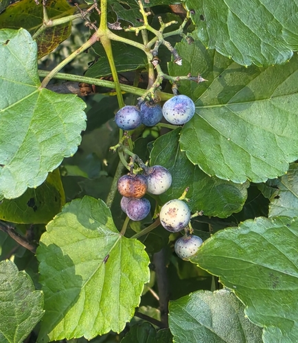
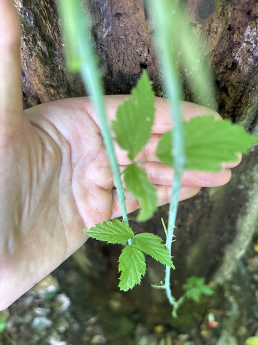
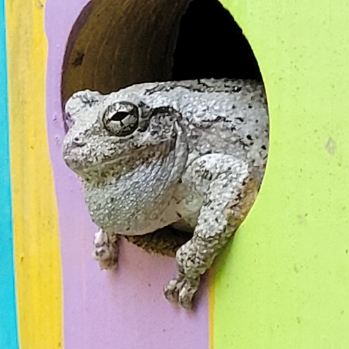

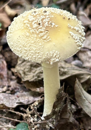
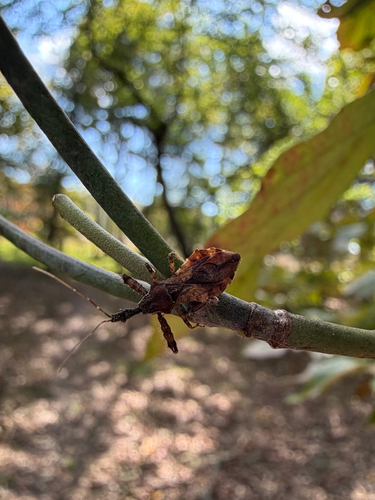
Research-grade observations from iNaturalist (within ~15 mi).
Nearest stream gauge
Events
Gallery
Sources
- • Wikipedia
- • US Census Bureau (ACS 5-year estimates)
- • NOAA National Weather Service
- • Wikidata
- • USGS Earthquake Catalog (global feed)
- • NCES via Urban Institute Education Data Portal
- • GBIF (Global Biodiversity Information Facility)
- • iNaturalist
- • CDC PLACES
- • Open-Meteo / sunrise-sunset.org
- • Wikipedia Pageviews API