Browse / United States / Maryland / Catonsville
Catonsville
MarylandCDP

Catonsville
Total population
43,368
Median home value
$416,900
Bachelor's+
Median income
$114,109
Founded
1831
Demographic figures from US Census Bureau · ACS 5-year estimates. Overview below cites Wikipedia and may reference a different year.
City facts
Facts from Wikidata (CC0).
Overview
Catonsville is a town in Baltimore County, Maryland, United States. The population was 44,701 at the 2020 US Census. The community is a streetcar suburb of Baltimore along the city's western border. The town is known for its proximity to the Patapsco River and Patapsco Valley State Park, making it a regional mountain biking hub. The town is also notable as a local hotbed of music, earning it the official nickname of "Music City, Maryland." Catonsville contains the majority of the University of Maryland, Baltimore County (UMBC), a major public research university with close to 14,000 students.
Read more on WikipediaHistory & geography
History
The area of present-day Catonsville was not inhabited by large numbers of Native Americans. The region served as a hunting ground or a means of transit, specifically for the Susquehannocks, who lived to the north. By the mid-17th century, any meaningful presence in this region, alongside the Chesapeake Bay, vanished—the 1652 Articles of Peace and Friendship, specifically, essentially ended Susquehannock life in Maryland. Thus, they disappeared decades before the first settlers encroached on the area. The Native Americans had left behind a number of trails, some of which the earliest settlers adopted them for their own purposes. Rolling Road, for example, originated as a Native American trail, beginning from Elkridge Landing, and traveling north through present-day Catonsville—the road was repurposed as a "rolling road" used to roll hogsheads of tobacco, hence its current name. Another trail was the Old Frederick Road, now known regionally as Johnnycake Road, which began at a point along Gwynns Falls, and traveling northwest, forming what is now Catonsville's northern boundary. Another potential Native American trail is Old Frederick Road, branching off from the aforementioned road southwest toward Frederick Road near Ellicott City. Caton gave his name to the community and called it "Catonville," although the name was changed to "Catonsville" in the 1830s. Businesses were built along the Frederick Turnpike for travelers traveling from Ellicott City to Baltimore. Catonsville served as a layover stop for travelers and the town increasingly grew and developed. The pleasant surroundings attracted wealthy Baltimore merchants who built large Victorian and colonial summer homes to escape Baltimore's summer heat. Starting in 1862, horsecar services connected Catonsville to…
Geography
Catonsville is located at (39.273756, −76.738012). According to the United States Census Bureau, the CDP has a total area of , all land. Catonsville lies above the Fall Line within the Piedmont Region of Maryland, a region characterized by broad, rolling hills punctuated by streams and rivers. Catonsville overlooks the coastal plain and Chesapeake Bay to the East. The Appalachian Mountains lie approximately 40 miles west of the town. Catonsville is centered along Frederick Road (Maryland Route 144), once the main road from Baltimore leading to points west replacing what is now called Old Frederick Road. Johnnycake Road and Academy Road form the northern and northeastern boundaries of Catonsville, the Patapsco River provides the western and southern boundaries, Gun Road, Shelbourne Road Linden Avenue, Circle Drive and Wilkens Avenue form the southeastern boundaries while Baltimore City forms the eastern boundary. Catonsville is bordered by Woodlawn to the north, Baltimore to the east, by Arbutus to the southeast, by Ilchester to the southwest, and by Ellicott City to the west. In addition to Frederick Road (Exit 13), Interstate 695 (the Baltimore Beltway) services Wilkens Avenue (Maryland Route 372), Edmondson Avenue and the Baltimore National Pike (U.S. Route 40) via Exits 12, 14 and 15, respectively, with the latter two thoroughfares later converging in Baltimore City to the east. The main north–south roads in the area are Rolling Road (which is also Maryland Route 166 south of Frederick Road), Ingleside Avenue and Bloomsbury Avenue. Catonsville is a terminus of the Trolley Line Number 9 Trail and the Short Line Railroad Trail.
Excerpted from the corresponding Wikipedia article (CC BY-SA).
Demographics & economy
Race & ethnicity
Source: US Census Bureau — American Community Survey, 5-year estimates.
Geography
Coordinates & boundaries from the US Census TIGER/Line shapefiles.
Climate
Current forecast
Forecast for Catonsville, MD from NOAA NWS API.
Air quality
Industrial & pollution facilities
Natural hazard risk
Health (adults)
Age-adjusted prevalence estimates from CDC PLACES (latest release).
Walkability
Amenities nearby
Wildlife & biodiversity
Most-observed species
- Northern CardinalCardinalis cardinalis (Linnaeus, 1758) · Aves84,930
- Carolina WrenThryothorus ludovicianus (Latham, 1790) · Aves65,861
- American RobinTurdus migratorius Linnaeus, 1766 · Aves63,853
- Mourning DoveZenaida macroura (Linnaeus, 1758) · Aves61,273
- American CrowCorvus brachyrhynchos C.L.Brehm, 1822 · Aves58,798
- Blue JayCyanocitta cristata (Linnaeus, 1758) · Aves58,237
- Tufted TitmouseBaeolophus bicolor (Linnaeus, 1766) · Aves50,404
- Red-bellied WoodpeckerMelanerpes carolinus (Linnaeus, 1758) · Aves49,431
Citizen-science & research observations from the Global Biodiversity Information Facility (GBIF).
Schools
Largest nearby schools
- Woodlawn HighHigh · Baltimore · 1,815 students · 16.1:1 ratio
- Catonsville HighHigh · Baltimore · 1,729 students · 16.2:1 ratio
- Lansdowne HighHigh · Baltimore · 1,410 students · 15:1 ratio
- Milford Mill AcademyHigh · Baltimore · 1,324 students · 14.9:1 ratio
- Deer Park Middle Magnet SchoolMiddle · Randallstown · 1,322 students · 15.4:1 ratio
- Randallstown HighHigh · Randallstown · 1,159 students · 16.3:1 ratio
- Arbutus MiddleMiddle · Baltimore · 970 students · 16.7:1 ratio
- Pikesville MiddleMiddle · Baltimore · 967 students · 16.1:1 ratio
Public K–12 schools within ~10 mi from Urban Institute Education Data Portal (NCES Common Core of Data, 2022).
Earthquake history
Most recent
- M 2.5 — 2025-10-274 km E of Riverside, Maryland
- M 2.6 — 2021-06-252 km SE of Woodlawn, Maryland
- M 2.81 — 2019-09-155 km ESE of East Berlin, Pennsylvania
- M 3.03 — 2016-01-173 km NE of Ranson, West Virginia
- M 3.6 — 2010-07-165 km NNW of Barnesville, Maryland
- M 3.05 — 2010-06-034 km ENE of Franklintown, Pennsylvania
Events from the USGS Earthquake Catalog (global) (FDSN Event Web Service).
Photos
Sights & places nearby
Notable people from here


People born within ~10 km, from Wikidata (CC0). Click any name for their Wikipedia article.
Nearby places in Maryland
Geography & sun
Elevation, sunrise/sunset and daylight from Open-Meteo. Solar climatology from NASA POWER.
Nearby airports
Public attention
Pageview totals from the Wikimedia Pageviews API.
Books about Catonsville

Search results from Open Library.
Recent natural events nearby
Ground air-quality sensors
Recently spotted species
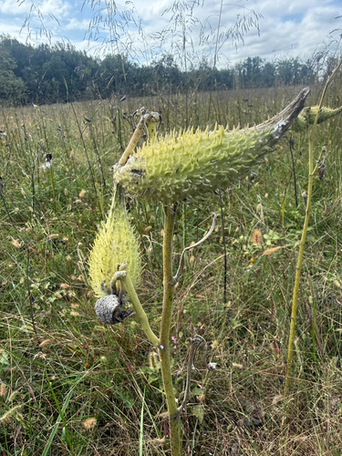
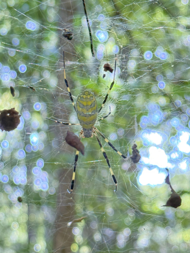
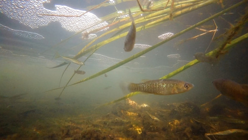
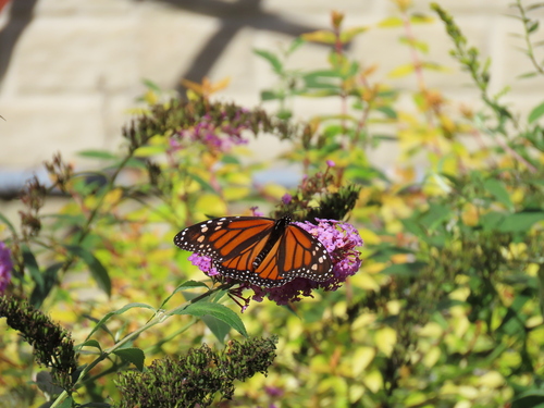
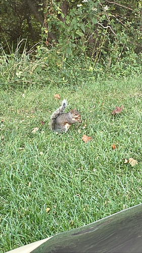

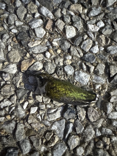
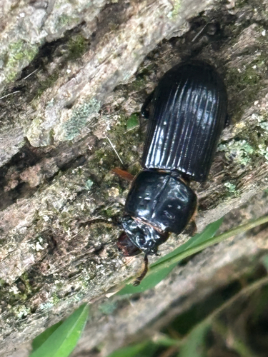
Research-grade observations from iNaturalist (within ~15 mi).
Nearest stream gauge
Events
Gallery
Sources
- • Wikipedia
- • US Census Bureau (ACS 5-year estimates)
- • NOAA National Weather Service
- • Wikidata
- • USGS Earthquake Catalog (global feed)
- • NCES via Urban Institute Education Data Portal
- • GBIF (Global Biodiversity Information Facility)
- • iNaturalist
- • CDC PLACES
- • Open-Meteo / sunrise-sunset.org
- • Wikipedia Pageviews API
- • Open Library