Browse / United States / Maryland / Ellicott City
Ellicott City
MarylandCDP

Ellicott City
Total population
75,257
Median home value
$661,700
Bachelor's+
Median income
$156,964
Founded
1772
Demographic figures from US Census Bureau · ACS 5-year estimates. Overview below cites Wikipedia and may reference a different year.
- Severe Thunderstorm Watch · SevereSevere Thunderstorm Watch issued October 16 at 2:14PM EDT until October 16 at 8:00PM EDT by NWS Baltimore MD/Washington DC
Source: NOAA National Weather Service.
City facts
Facts from Wikidata (CC0).
Overview
Ellicott City is an unincorporated community and census-designated place in and the county seat of Howard County, Maryland, United States. Part of the Baltimore metropolitan area, its population was 75,947 at the 2020 census, making it the most populous unincorporated county seat in the United States.
Read more on WikipediaHistory & geography
History
Prior to the establishment of Ellicott City, the main crossing of the Patapsco River connecting Baltimore with western Maryland stood about three miles north at what is now Hollifield (Old Frederick Road and Johnnycake Road). The main road continued west towards Mount Airy and Frederick along what later became Maryland Route 99. The first mill at that site on the river had been built by Christopher Gardiner in about 1716. Near this place, in 1766, James Hood used the Maryland Mill Act of 1669 to condemn for a mill site adjacent to his river-side property, where he built a gristmill. His son Benjamin rebuilt the corn grinding mill after one of the frequent Patapsco floods in 1768. On April 24, 1771, three Quaker brothers from Bucks County, Pennsylvania, north of Philadelphia, chose the picturesque wilderness several miles upriver from Elk Ridge Landing (today's Elkridge, Maryland), the uppermost part of the river then navigable by tobacco-loading sailing merchant ships in the 18th century, to establish a flour mill, purchasing of Baltimore County land from Emanuel Teal and from William Williams. John, Andrew, and Joseph Ellicott founded Ellicott's Mills, which became one of the largest milling and manufacturing towns in the East. In 1774, Joseph Ellicott purchased Hood's Mill for 1,700 pounds, which became known as "Ellicott's Upper Mills". In 1775 the brothers expanded their holdings with from Bartholomew Balderson. The Ellicott brothers constructed sawmills, smithies, stables, an oil mill, a grain distillery, and grain mills. Charles Carroll of Carrollton (1737–1832), the last surviving signer of the Declaration of Independence, a rare Roman Catholic and a wealthy landowner with the largest fortune then in colonial America, was an early influential convert…
Geography
Ellicott City is in northeastern Howard County, bordered to the east and north by the Patapsco River, which forms the Baltimore County line. The Ellicott City census-designated place (CDP) extends to the northwest beyond Marriottsville Road and to the southwest beyond Centennial Road. It is bordered to the south by Columbia at Maryland Route 108 and to the southeast by Ilchester at Maryland Route 104 and Bonnie Branch Road. According to the United States Census Bureau, the CDP has a total area of , of which are land and , or 0.41%, are water. These hills lie southeast of the Historic District, which is in the Tiber River valley immediately west of the Patapsco River. The Tiber River is a small tributary of the Patapsco that forms the narrow valley followed by Main Street. Several deep stream valleys converge at this location, which increases the risk of flooding, but at the same time creates the town's heights. The heart of the Historic District is Main Street, where the oldest structures of the town stand. Smaller neighborhoods within the district include Tonge Row (also spelled Tongue Row) adjacent to Old Columbia Pike, and the West End, at the western end of Main Street. The remainder of the Ellicott City CDP ("Greater Ellicott City") includes the neighborhoods of: * Oella (Baltimore County) * Dorsey's Search * Centennial * Elioak * Turf Valley * Font Hill * Dunloggin * Waverly * Mount Hebron * Saint Johns Lane * Bethgate * Valley Mede * Bethany Manor * Normandy * Linwood * Long Gate * Taylor Village * Worthington * Brampton Hills * Montgomery Meadows * Jonestown * Ilchester * Wheatfield Historic Ellicott City sits on the Silurian or Ordovician Ellicott City Granodiorite. Outcrops can be seen lining Main Street. Several granite quarries were in operation in…
Excerpted from the corresponding Wikipedia article (CC BY-SA).
Demographics & economy
Race & ethnicity
Source: US Census Bureau — American Community Survey, 5-year estimates.
Geography
Coordinates & boundaries from the US Census TIGER/Line shapefiles.
Climate
Current forecast
Forecast for Ellicott City, MD from NOAA NWS API.
Air quality
Industrial & pollution facilities
Natural hazard risk
Health (adults)
Age-adjusted prevalence estimates from CDC PLACES (latest release).
Walkability
Amenities nearby
Wildlife & biodiversity
Most-observed species
- Northern CardinalCardinalis cardinalis (Linnaeus, 1758) · Aves81,307
- Carolina WrenThryothorus ludovicianus (Latham, 1790) · Aves64,518
- American CrowCorvus brachyrhynchos C.L.Brehm, 1822 · Aves58,726
- Blue JayCyanocitta cristata (Linnaeus, 1758) · Aves58,135
- American RobinTurdus migratorius Linnaeus, 1766 · Aves57,595
- Mourning DoveZenaida macroura (Linnaeus, 1758) · Aves55,977
- Tufted TitmouseBaeolophus bicolor (Linnaeus, 1766) · Aves53,003
- Red-bellied WoodpeckerMelanerpes carolinus (Linnaeus, 1758) · Aves51,480
Citizen-science & research observations from the Global Biodiversity Information Facility (GBIF).
Schools
Largest nearby schools
- Reservoir HighHigh · Fulton · 1,837 students · 15.2:1 ratio
- Howard HighHigh · Ellicott City · 1,741 students · 15.7:1 ratio
- Marriotts Ridge HighHigh · Marriottsville · 1,716 students · 17:1 ratio
- Long Reach HighHigh · Columbia · 1,714 students · 13.7:1 ratio
- Mount Hebron HighHigh · Ellicott City · 1,621 students · 15.3:1 ratio
- Atholton HighHigh · Columbia · 1,467 students · 15.6:1 ratio
- River Hill HighHigh · Clarksville · 1,424 students · 17:1 ratio
- Oakland Mills HighHigh · Columbia · 1,401 students · 13.7:1 ratio
Public K–12 schools within ~10 mi from Urban Institute Education Data Portal (NCES Common Core of Data, 2022).
Earthquake history
Most recent
- M 2.5 — 2025-10-274 km E of Riverside, Maryland
- M 2.6 — 2021-06-252 km SE of Woodlawn, Maryland
- M 2.81 — 2019-09-155 km ESE of East Berlin, Pennsylvania
- M 3.03 — 2016-01-173 km NE of Ranson, West Virginia
- M 3.6 — 2010-07-165 km NNW of Barnesville, Maryland
- M 3.05 — 2010-06-034 km ENE of Franklintown, Pennsylvania
Events from the USGS Earthquake Catalog (global) (FDSN Event Web Service).
Photos
Sights & places nearby
Notable people from here


People born within ~10 km, from Wikidata (CC0). Click any name for their Wikipedia article.
Nearby places in Maryland
- Woodlawn5 mi away · pop. 40,379
- Columbia5.4 mi away · pop. 104,338
- Randallstown6.8 mi away · pop. 35,957
- Elkridge7.5 mi away · pop. 26,283
- Owings Mills9.5 mi away · pop. 37,245
- Pikesville10.7 mi away · pop. 33,524
- Eldersburg10.9 mi away
- Burtonsville12.1 mi away · pop. 10,203
- Baltimore12.1 mi away · pop. 568,271
- Reisterstown12.3 mi away · pop. 25,582
- Ashton-Sandy Spring12.5 mi away · pop. 5,630
- Laurel12.6 mi away · pop. 29,798
Geography & sun
Elevation, sunrise/sunset and daylight from Open-Meteo. Solar climatology from NASA POWER.
Nearby airports
Public attention
Pageview totals from the Wikimedia Pageviews API.
Books about Ellicott City
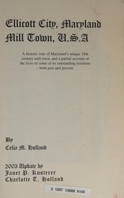
Search results from Open Library.
Recent natural events nearby
Ground air-quality sensors
Recently spotted species
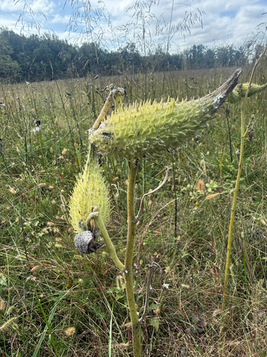
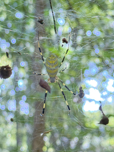
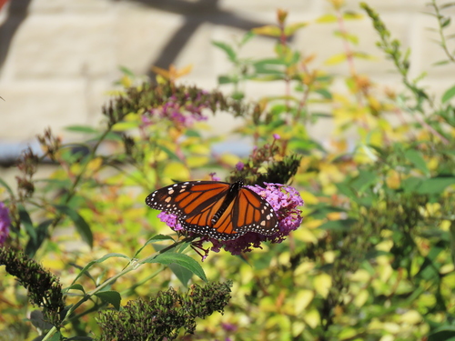
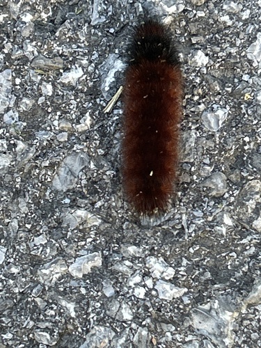
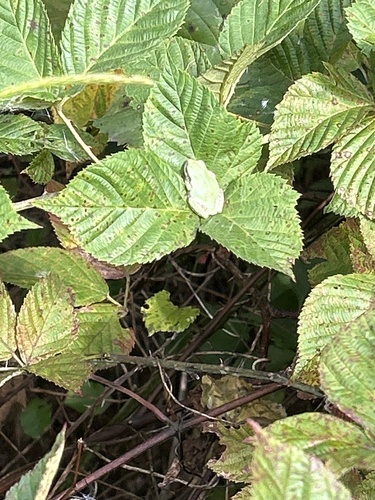
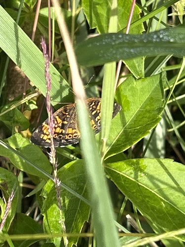
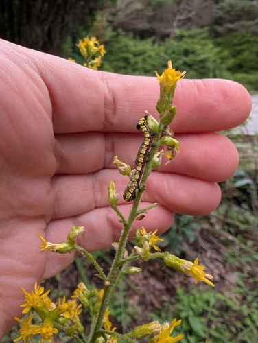
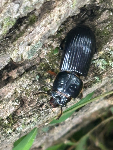
Research-grade observations from iNaturalist (within ~15 mi).
Nearest stream gauge
Events
Gallery
Sources
- • Wikipedia
- • US Census Bureau (ACS 5-year estimates)
- • NOAA National Weather Service
- • Wikidata
- • USGS Earthquake Catalog (global feed)
- • NCES via Urban Institute Education Data Portal
- • GBIF (Global Biodiversity Information Facility)
- • iNaturalist
- • CDC PLACES
- • Open-Meteo / sunrise-sunset.org
- • Wikipedia Pageviews API
- • Open Library