Browse / United States / Maryland / Crofton
Crofton
MarylandCDP

Crofton
Total population
29,549
Median home value
$519,900
Bachelor's+
Median income
$150,577
Founded
1964
Demographic figures from US Census Bureau · ACS 5-year estimates. Overview below cites Wikipedia and may reference a different year.
City facts
Facts from Wikidata (CC0).
Overview
Crofton is a census-designated place and planned community in Anne Arundel County, Maryland, United States, located 9.8 miles (15.8 km) west of the state capital Annapolis, 24 miles (39 km) south of Baltimore, and 24 miles (39 km) east-northeast of Washington, D.C. The community was established in 1964 and as of the 2020 census, it had a population of 29,136.
Read more on WikipediaHistory & geography
History
In 1963, after the Crawford Corporation accumulated over of land, it announced that it would build a new community called Crofton. This new town and planned community was founded at the same time as Reston, Virginia (April 17, 1964) and Columbia, Maryland (1967). Crofton would be anchored by a community golf course, which later became the Crofton Country Club. Crofton was officially founded in the fall of 1964. The company considered picking an English name for the new town that "sounds well and implies that this is a pleasant place to live." It ended up picking the name "Crofton", named after a small township in Cumberland County, England. (Crofton, England was originally called Croft-town, derived from the word "Croft", as the town standing upon the Crofts.) Crofton, Maryland was founded as a community for racial exclusion. Crofton was in the national news in late June and early July 2002 after a fish called the northern snakehead was discovered in a local pond. The infestation was found in water behind the Crofton post office and the adjacent shopping center, In order to ensure that the fish were eliminated, in September 2002 the main pond and two nearby ponds were dosed heavily with rotenone Six adult snakeheads and more than one thousand juvenile fish were found and destroyed. One comparison case was the mute swan, also an invasive and destructive species of the Chesapeake Bay watershed but, in comparison, quite beautiful, and which garnered support from some environmental and animal rights groups. Several movies were inspired by this incident. Syfy aired two movies in relation to the snakehead outbreak: in March 2004, a movie called Snakehead Terror was featured, and the movie Frankenfish was aired in June 2004. Ten Pound Films also produced a feature film…
Geography
The original community of Crofton was built on the Duvall family farm located within a triangle formed by three major roads: Crain Highway (Maryland Route 3) to the northwest, Davidsonville Road (Maryland Route 424) to the northeast, and Defense Highway (Maryland Route 450) to the south. Within the triangle, Crofton Parkway, a loop road long, encircles the center of the community. The Crofton CDP now extends north and east from the triangle, including Crofton Park and reaching northeast as far as St. Stephens Church Road. The Little Patuxent River borders Crofton on its southwest corner at the intersection of Route 3 and Route 450, providing a buffer between Anne Arundel and Prince George's counties. According to the United States Census Bureau, the Crofton CDP has a total area of , all land.
Excerpted from the corresponding Wikipedia article (CC BY-SA).
Demographics & economy
Race & ethnicity
Source: US Census Bureau — American Community Survey, 5-year estimates.
Geography
Coordinates & boundaries from the US Census TIGER/Line shapefiles.
Climate
Air quality
Industrial & pollution facilities
Natural hazard risk
Health (adults)
Age-adjusted prevalence estimates from CDC PLACES (latest release).
Walkability
Amenities nearby
Wildlife & biodiversity
Schools
Largest nearby schools
- Old Mill HighHigh · Millersville · 2,445 students · 17:1 ratio
- Meade HighHigh · Ft Meade · 2,330 students · 17.3:1 ratio
- Annapolis HighHigh · Annapolis · 2,127 students · 14.4:1 ratio
- Severna Park HighHigh · Severna Park · 1,873 students · 19.3:1 ratio
- Crofton High SchoolHigh · Gambrills · 1,805 students · 18.8:1 ratio
- South River HighHigh · Edgewater · 1,649 students · 16.5:1 ratio
- Arundel HighHigh · Gambrills · 1,617 students · 17.4:1 ratio
- Severna Park MiddleMiddle · Severna Park · 1,399 students · 16.1:1 ratio
Public K–12 schools within ~10 mi from Urban Institute Education Data Portal (NCES Common Core of Data, 2022).
Earthquake history
Photos
Sights & places nearby
Notable people from here


People born within ~10 km, from Wikidata (CC0). Click any name for their Wikipedia article.
Nearby places in Maryland
- Gambrills5.6 mi away
- Arden on the Severn5.8 mi away
- Herald Harbor6.2 mi away · pop. 2,430
- Fairwood6.6 mi away · pop. 7,526
- Riva6.8 mi away
- Fort Meade7.2 mi away
- Queen Anne7.6 mi away
- Severna Park7.9 mi away · pop. 40,228
- Mitchellville8.7 mi away · pop. 11,359
- South Laurel9.5 mi away
- Arnold9.6 mi away · pop. 24,303
- Springdale10.4 mi away · pop. 5,226
Geography & sun
Elevation, sunrise/sunset and daylight from Open-Meteo. Solar climatology from NASA POWER.
Nearby airports
Public attention
Pageview totals from the Wikimedia Pageviews API.
Books about Crofton

Search results from Open Library.
Recent natural events nearby
Ground air-quality sensors
Recently spotted species
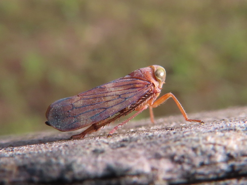
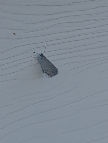
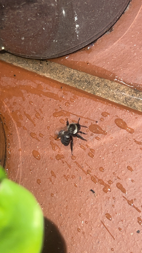
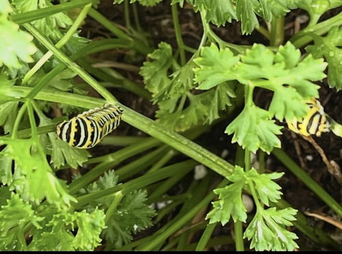

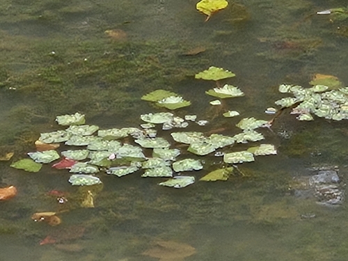

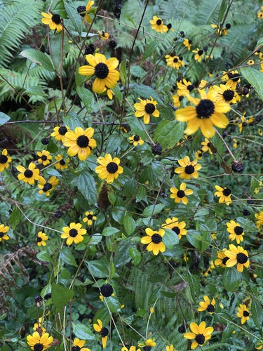
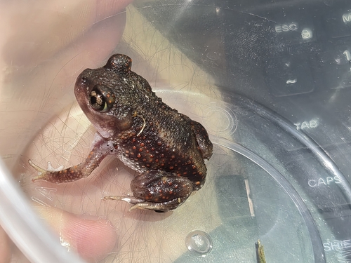
Research-grade observations from iNaturalist (within ~15 mi).
Nearest stream gauge
Events
Gallery
Sources
- • Wikipedia
- • US Census Bureau (ACS 5-year estimates)
- • Wikidata
- • NCES via Urban Institute Education Data Portal
- • iNaturalist
- • CDC PLACES
- • Open-Meteo / sunrise-sunset.org
- • Wikipedia Pageviews API
- • Open Library