Browse / United States / Maryland / Darnestown
Darnestown
MarylandCDP

Darnestown
Total population
7,051
Median home value
$958,200
Bachelor's+
Median income
$232,135
Demographic figures from US Census Bureau · ACS 5-year estimates. Overview below cites Wikipedia and may reference a different year.
- Test Message · Unknown
Source: NOAA National Weather Service.
City facts
Facts from Wikidata (CC0).
Overview
Darnestown is a United States census-designated place (CDP) and an unincorporated area in Montgomery County, Maryland. The CDP is 17.70 square miles (45.8 km2) with the Potomac River as its southern border and the Muddy Branch as much of its eastern border. Seneca Creek borders portions of its north and west sides. The Travilah, North Potomac, and Germantown census-designated places are adjacent to it, as is the city of Gaithersburg. Land area for the CDP is 16.39 square miles (42.4 km2). As of the 2020 census, the Darnestown CDP had a population of 6,723, while the village of Darnestown is considerably smaller in size and population. Downtown Washington, D.C. is about 22 miles (35 km) to the southeast.
Read more on WikipediaHistory & geography
History
The first European (mostly Scottish and English) settlements in what would become Montgomery County, Maryland, were established in 1688, near Rock Creek and what was to become Rockville. The next stage of settlements was further west along the Potomac River near what is now Darnestown and Poolesville. The land had been occupied by Native Americans of the Piscataway Confederation. Ninian Beall was the first European landowner in the Darnestown area, settling around 1749. His daughter Ruth Beall married Charles Gassaway, who built a brick home named Pleasant Hills around 1765. This was one of the first brick homes in what is now Montgomery County, and still stands today. Gassaway purchased land from his father-in-law during the late 1700s—including land that would eventually become the Darnestown village. In the last half of the 18th century, a small village grew at the intersection of what is now Darnestown Road (Maryland Route 28) and Seneca Road (Maryland Route 112). At that time, Darnestown Road was called "the road from Georgetown to the mouth of the Monocacy River". It was a Seneca Indian trail and is one of the oldest roads in Montgomery County. Seneca Road led from Darnestown to the Seneca Mill and a landing on the Potomac River—a trip of less than . Gassaway's daughter Elizabeth married William Darne in 1798. Darne was a civic leader who served in the Maryland House of Delegates, as a judge, and as director of the Chesapeake and Ohio Canal. He also became one of the area's biggest landowners. The community was called Mount Pleasant until the establishment of a post office around 1803, when it gradually began being called "Darnes" in honor of its leading citizen. The Darnes name lasted until the mid-1820s, when the village became known as Darnestown.…
Geography
As an unincorporated area, Darnestown's boundaries are not officially defined. However, in 1878 the U.S. Census Bureau created a new Minor Civil Division (MCD) named Darnestown District (No. 6), that was used to aggregate portions of the county. The new district was created from the eastern portion of the Medley District and the western portion of the Rockville District. The Darnestown/District 6 MCD was still used in the 1970 Census, and for Maryland it was shown as a county subdivision. Little Seneca Creek and Great Seneca Creek formed the western border of this district. The Piney Branch and Dufief's Mill Road formed the District 6 eastern border. The Clarksburgh District (No. 2), which included Germantown, was on the north side of District 6, with Rockville Road forming the border. The Potomac River from Great Seneca Creek to the Piney Branch formed the southern border. Multiple C&O Canal Locks were included in District 6, and the communities of Seneca, Hunting Hill, and Travilah were part of District 6 in addition to Darnestown. In the 2000 census, the Census Bureau created a new Census-designated place (CDP) called Darnestown. A Darnestown CDP was also used in the 2010 census. The Darnestown CDP has of land, which is smaller than the old Darnestown MCD. The CDP uses the Muddy Branch, Turkey Foot Road, and Jones Lane for most of its eastern border instead of rivers further east. The MCD territory between Little Seneca Creek and the north side of Great Seneca Creek is also not part of the Darnestown CDP. Great Seneca Creek remains as the western border. Washington, D.C. is roughly away. The Travilah and North Potomac CDPs are along the Darnestown CDP's eastern border. The United States Geological Survey lists ten Darnestown-related features, including the…
Excerpted from the corresponding Wikipedia article (CC BY-SA).
Demographics & economy
Race & ethnicity
Source: US Census Bureau — American Community Survey, 5-year estimates.
Geography
Coordinates & boundaries from the US Census TIGER/Line shapefiles.
Climate
Current forecast
Forecast for Darnestown, MD from NOAA NWS API.
Air quality
Industrial & pollution facilities
Natural hazard risk
Health (adults)
Walkability
Amenities nearby
Wildlife & biodiversity
Most-observed species
- Northern CardinalCardinalis cardinalis (Linnaeus, 1758) · Aves108,879
- Carolina WrenThryothorus ludovicianus (Latham, 1790) · Aves93,097
- Blue JayCyanocitta cristata (Linnaeus, 1758) · Aves78,935
- Carolina ChickadeePoecile carolinensis (Audubon, 1834) · Aves74,132
- Red-bellied WoodpeckerMelanerpes carolinus (Linnaeus, 1758) · Aves73,398
- Tufted TitmouseBaeolophus bicolor (Linnaeus, 1766) · Aves70,782
- American CrowCorvus brachyrhynchos C.L.Brehm, 1822 · Aves68,672
- American RobinTurdus migratorius Linnaeus, 1766 · Aves67,814
Citizen-science & research observations from the Global Biodiversity Information Facility (GBIF).
Schools
Earthquake history
Photos
Sights & places nearby
Notable people from here


People born within ~10 km, from Wikidata (CC0). Click any name for their Wikipedia article.
Nearby places in Maryland
Geography & sun
Elevation, sunrise/sunset and daylight from Open-Meteo. Solar climatology from NASA POWER.
Nearby airports
Public attention
Pageview totals from the Wikimedia Pageviews API.
Books about this place
Recent natural events nearby
Ground air-quality sensors
Recently spotted species
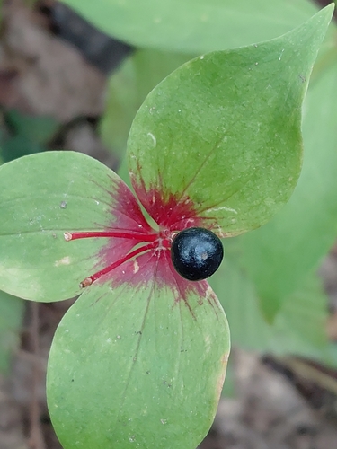
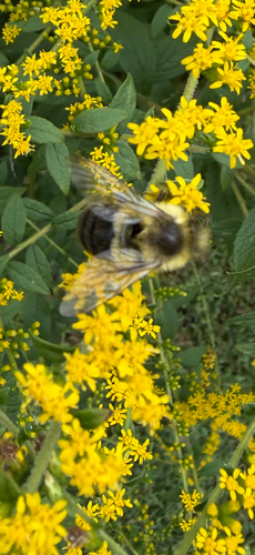
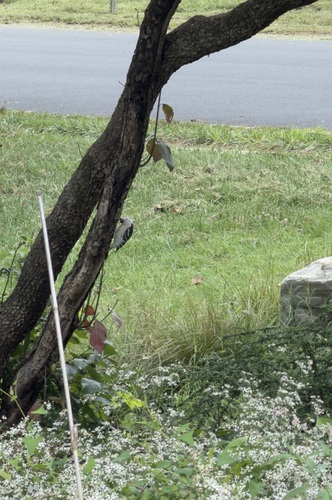
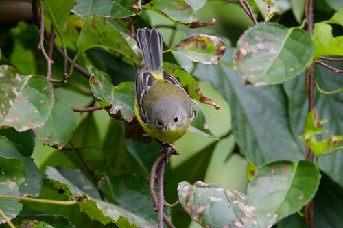
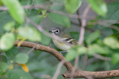
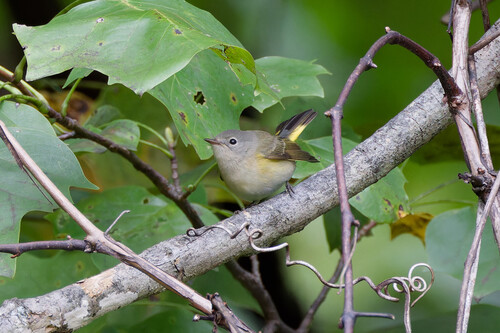
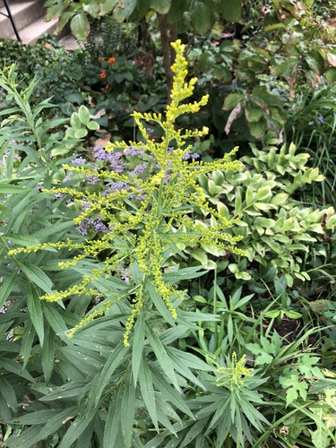
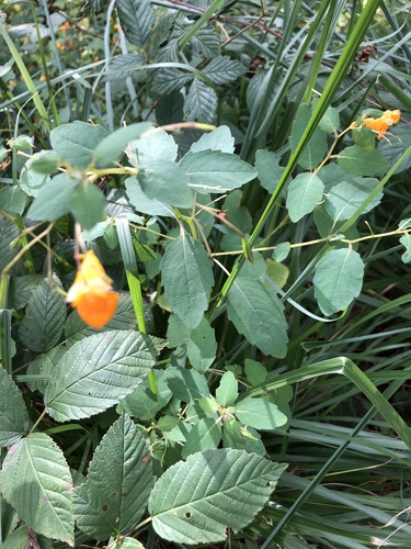
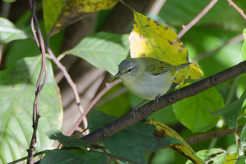
Research-grade observations from iNaturalist (within ~15 mi).
Nearest stream gauge
Events
Gallery
Sources
- • Wikipedia
- • US Census Bureau (ACS 5-year estimates)
- • NOAA National Weather Service
- • Wikidata
- • GBIF (Global Biodiversity Information Facility)
- • iNaturalist
- • Open-Meteo / sunrise-sunset.org
- • Wikipedia Pageviews API