Browse / United States / Maryland / Lisbon
Lisbon
MarylandCDP

Lisbon
Total population
126
Median home value
$0
Bachelor's+
Median income
$0
Demographic figures from US Census Bureau · ACS 5-year estimates. Overview below cites Wikipedia and may reference a different year.
City facts
Facts from Wikidata (CC0).
Overview
Lisbon is a census-designated place located in western Howard County in the state of Maryland, United States, located roughly between Baltimore and Frederick and north of Washington, D.C. It is contained in an area of roughly one square mile. Lisbon is located along Interstate 70 and Maryland Route 144 and is home to the first roundabout in Maryland. It first appeared as a CDP in the 2020 Census with a population of 282.
Read more on WikipediaHistory & geography
History
Lisbon is situated on a land grant patented by Seth Warfield in 1794 as "Warfield's Forest". The town was founded by Caleb Pancoast in 1810. Named "New Lisbon", followed by a shortened "Lisbon" name (not Portugal's capital). In 1820, Pancoast deeded land for the Union Church for Public Worship which would become a schoolhouse with gravesites remaining in 1880. Pancoast subdivided the town in 1822 with one hundred lots of a quarter acre in size, including roads and alleys. By 1835, eight scheduled daily stagecoaches ran through town. The town built the single room Annapolis Rock School in 1894, which served the area until 1943. The photograph is the National Road (now MD 144), looking east toward Baltimore. The road between the two houses is Madison Street. Through the center of town, Woodbine Road runs north for to Woodbine, where the Patapsco River and the B&O Railroad cross the road. About one mile north of Lisbon exists the original road that ran from Baltimore to Frederick. This road runs west toward Poplar Springs and east toward Sykesville. The exact route of this road is not discernible at this time. Lisbon is home to the Carr's Mill Landfill, the county's second landfill, which closed in 1977 and was the site of toxic dumping. Lisbon changed from an unincorporated community to a census-designated place for the 2020 census.
Excerpted from the corresponding Wikipedia article (CC BY-SA).
Demographics & economy
Race & ethnicity
Source: US Census Bureau — American Community Survey, 5-year estimates.
Geography
Coordinates & boundaries from the US Census TIGER/Line shapefiles.
Climate
Current forecast
Forecast for Lisbon, MD from NOAA NWS API.
Air quality
Industrial & pollution facilities
Natural hazard risk
Health (adults)
Walkability
Amenities nearby
Wildlife & biodiversity
Schools
Earthquake history
Photos
Sights & places nearby
Notable people from here


People born within ~10 km, from Wikidata (CC0). Click any name for their Wikipedia article.
Nearby places in Maryland
- Eldersburg7.8 mi away
- Laytonsville9.5 mi away
- Monrovia11 mi away
- Montgomery Village12.5 mi away
- Ellicott City13.3 mi away · pop. 75,257
- Linganore13.4 mi away · pop. 14,444
- Ten Mile Creek14.3 mi away
- Urbana14.5 mi away · pop. 14,260
- Libertytown14.5 mi away · pop. 1,346
- Randallstown14.6 mi away
- Germantown15.3 mi away
- Bartonsville15.5 mi away
Geography & sun
Elevation, sunrise/sunset and daylight from Open-Meteo. Solar climatology from NASA POWER.
Nearby airports
Public attention
Pageview totals from the Wikimedia Pageviews API.
Books about Lisbon
Search results from Open Library.
Recent natural events nearby
Ground air-quality sensors
Recently spotted species


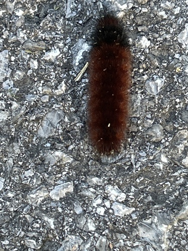
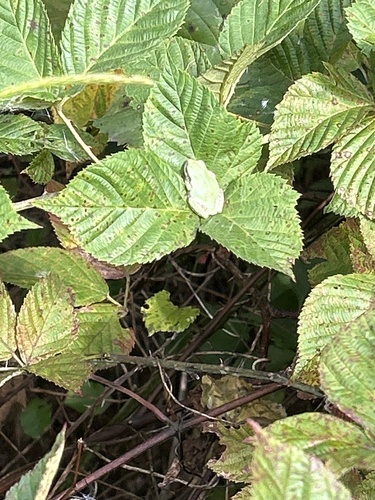
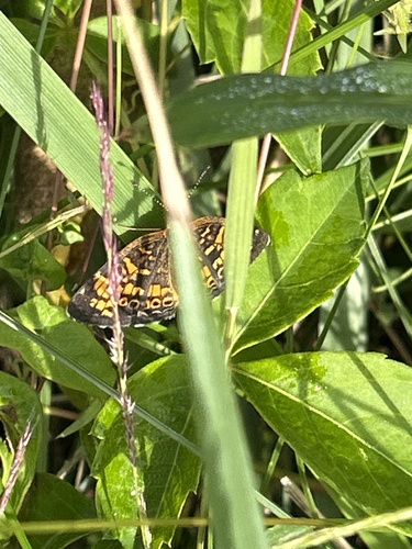




Research-grade observations from iNaturalist (within ~15 mi).
Nearest stream gauge
Events
Gallery
Sources
- • Wikipedia
- • US Census Bureau (ACS 5-year estimates)
- • NOAA National Weather Service
- • Wikidata
- • iNaturalist
- • Open-Meteo / sunrise-sunset.org
- • Wikipedia Pageviews API
- • Open Library