Browse / United States / Maryland / Sharpsburg
Sharpsburg
Marylandtown

Sharpsburg
Total population
585
Median home value
$304,100
Bachelor's+
Median income
$71,500
Founded
1763
Demographic figures from US Census Bureau · ACS 5-year estimates. Overview below cites Wikipedia and may reference a different year.
City facts
Facts from Wikidata (CC0).
Overview
Sharpsburg is a town in Washington County, Maryland. The town is about 13 miles (21 km) south of Hagerstown. Its population was 560 at the 2020 census.
Read more on WikipediaHistory & geography
History
The first American of European descent to own land in what would become Sharpsburg was trader Edmund Cartledge. By the time Cartledge surveyed his "Hickory Tavern" land tract in 1737, the Great Philadelphia Wagon Road was established over the path that would become Sharpsburg's main street. The patent says Hickory Tavern sits between the wagon road and Garrison Spring, today's Big Spring. Thousands of immigrants used this route to travel south from Pennsylvania as far as the Carolinas. On May 1, 1755, the road was used by Major General Edward Braddock; Horatio Sharpe, the Proprietary Governor of the Province of Maryland; and several of Braddock's staff officers to reach Winchester, Virginia, while his 48th Regiment took a longer route via today's Williamsport, Maryland. At the end of the French and Indian War in 1763, Joseph Chapline founded a town and named it for his friend Sharpe. Its original settlers were mostly of German or Swiss origin who arrived from Pennsylvania via the wagon road. They planted wheat in the region, whose farms had largely depended on tobacco. Located east of the Potomac River, Sharpsburg was incorporated in 1832, It attracted industry in the early 19th century, especially after the Chesapeake and Ohio Canal was extended to the town in 1836. Sharpsburg gained national recognition during the American Civil War, when Confederate General Robert E. Lee invaded Maryland with his Army of Northern Virginia in the summer of 1862 and was intercepted near the town by Union General George B. McClellan with the Army of the Potomac. The rival armies met on September 17, in the Battle of Antietam (called by the Confederates the Battle of Sharpsburg). It would be the bloodiest single day in all American military annals, with a total of nearly 23,000…
Geography
According to the United States Census Bureau, the town has a total area of , all land.
Excerpted from the corresponding Wikipedia article (CC BY-SA).
Demographics & economy
Race & ethnicity
Source: US Census Bureau — American Community Survey, 5-year estimates.
Geography
Coordinates & boundaries from the US Census TIGER/Line shapefiles.
Climate
Current forecast
Forecast for Sharpsburg, MD from NOAA NWS API.
Air quality
Industrial & pollution facilities
Natural hazard risk
Health (adults)
Age-adjusted prevalence estimates from CDC PLACES (latest release).
Walkability
Amenities nearby
Wildlife & biodiversity
Schools
Largest nearby schools
- Springfield MiddleMiddle · Williamsport · 748 students · 15.3:1 ratio
- Boonsboro HighHigh · Boonsboro · 747 students · 14.4:1 ratio
- Rockland Woods ElementaryElementary · Hagerstown · 625 students · 16:1 ratio
- Boonsboro MiddleMiddle · Boonsboro · 610 students · 13.9:1 ratio
- Boonsboro ElementaryElementary · Boonsboro · 509 students · 17:1 ratio
- Sharpsburg ElementaryElementary · Sharpsburg · 349 students · 20.5:1 ratio
- Fountain Rock ElementaryElementary · Hagerstown · 299 students · 15.7:1 ratio
- Greenbrier ElementaryElementary · Boonsboro · 256 students · 17.1:1 ratio
Public K–12 schools within ~10 mi from Urban Institute Education Data Portal (NCES Common Core of Data, 2022).
Earthquake history
Photos
Sights & places nearby
Notable people from here


People born within ~10 km, from Wikidata (CC0). Click any name for their Wikipedia article.
Nearby places in Maryland
- Keedysville3.4 mi away · pop. 1,183
- Mount Briar3.5 mi away · pop. 201
- Rohrersville4.7 mi away · pop. 141
- Tilghmanton4.9 mi away · pop. 282
- Dargan5.7 mi away · pop. 135
- Breathedsville6.2 mi away · pop. 147
- Yarrowsburg6.6 mi away · pop. 83
- Burkittsville7.9 mi away · pop. 135
- Mount Lena9.5 mi away · pop. 391
- Myersville10.2 mi away · pop. 2,358
- Williamsport10.3 mi away · pop. 1,949
- Kemps Mill12.2 mi away · pop. 49
Geography & sun
Elevation, sunrise/sunset and daylight from Open-Meteo. Solar climatology from NASA POWER.
Nearby airports
Public attention
Pageview totals from the Wikimedia Pageviews API.
Books about Sharpsburg

Search results from Open Library.
Recent natural events nearby
Ground air-quality sensors
Recently spotted species

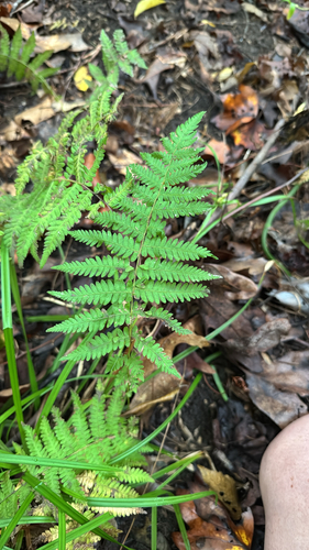
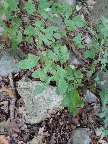
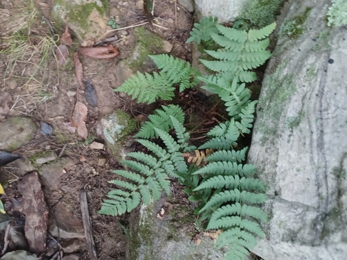
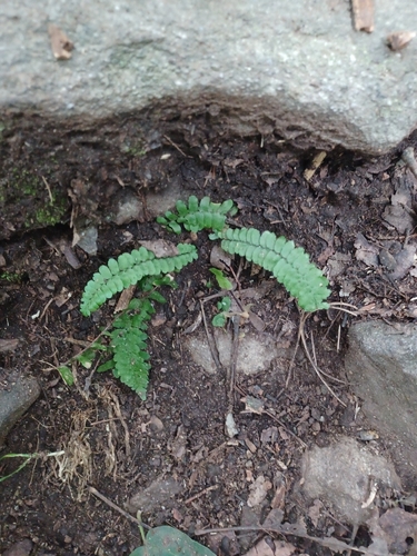
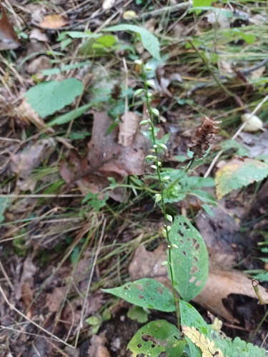
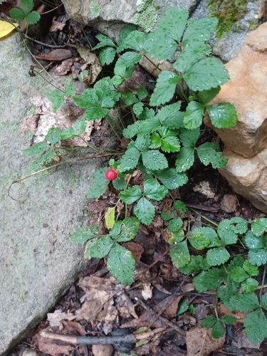
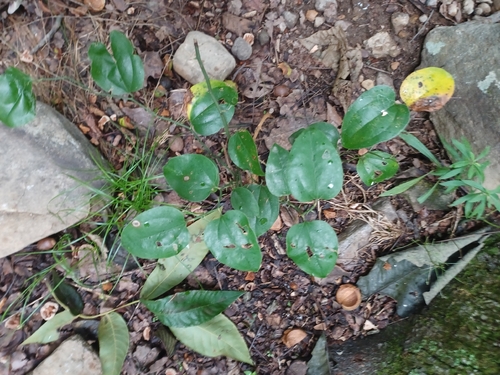
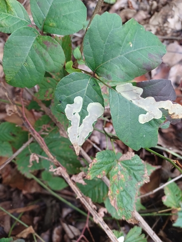
Research-grade observations from iNaturalist (within ~15 mi).
Nearest stream gauge
Events
Gallery
Sources
- • Wikipedia
- • US Census Bureau (ACS 5-year estimates)
- • NOAA National Weather Service
- • Wikidata
- • NCES via Urban Institute Education Data Portal
- • iNaturalist
- • CDC PLACES
- • Open-Meteo / sunrise-sunset.org
- • Wikipedia Pageviews API
- • Open Library