Browse / United States / Michigan / Livonia
Livonia
Michigancity

Livonia
Total population
93,118
Median home value
$292,700
Bachelor's+
Median income
$98,834
Founded
1950
Demographic figures from US Census Bureau · ACS 5-year estimates. Overview below cites Wikipedia and may reference a different year.
City facts
Facts from Wikidata (CC0).
Overview
Livonia is a city in Wayne County in the U.S. state of Michigan. A western suburb of Detroit, Livonia is located roughly 20 miles (32.2 km) northwest of downtown Detroit. As of the 2020 census, the city had a population of 95,535. Originally organized as Livonia Township in 1835, it was incorporated as a city in 1950.
Read more on WikipediaHistory & geography
History
After most members of the indigenous tribes were pushed out of the area, ethnic European-American pioneers from New England and New York settled here. The borders of Livonia Township were defined by the Legislature of the Territory of Michigan on March 17, 1835. The settlers named the community "Livonia", after Livonia, New York, a town in the western part of the state, from where many had migrated. Livonia Township was split off from Nankin Township, in which a Livonia post office had been established in June 1834. During the days of the township, a number of small communities developed. One of these was Elmwood, initially known as McKinley's Station. It was a stop on the Detroit, Lansing and Northern Railroad. It had a separate post office from 1858 until 1906. Another post office in the township was Giltedge, which operated from 1899 until 1902. Livonia was incorporated as a city on May 23, 1950, by vote of the citizens of the township. An incentive was that this status would allow the residents to gain tax revenues from the Detroit Race Course (DRC). From 1985, it ran only flat racing for Thoroughbreds, and the track closed in 1998, when the large property was sold for redevelopment. The last race tracks operating in the state were Hazel Park Raceway, which closed in 2018, and Northville Downs, which closed in 2024. Among the immigrants attracted to Detroit for its industrial jobs in the 20th century have been Palestinian and Lebanese Christians, as well as Muslims. By 1985, Palestinian Christians had settled in Livonia, as well as the western suburbs of Farmington and Westland. As of 2005, there were a number of Christian Palestinian Americans who had immigrated from Ramallah. They have developed and operated several small- and medium-sized businesses. Six…
Geography
According to the United States Census Bureau, the city has a total area of , of which is land and is water. The city has many creeks and rivers, but most notably majority portions of both Newburgh and Nankin Lake in the south and south-west. The two lakes are connected by both a river and Edward N. Hines Drive, known simply as Hines Drive by locals.
Excerpted from the corresponding Wikipedia article (CC BY-SA).
Demographics & economy
Race & ethnicity
Source: US Census Bureau — American Community Survey, 5-year estimates.
Geography
Coordinates & boundaries from the US Census TIGER/Line shapefiles.
Climate
Current forecast
Forecast for Livonia, MI from NOAA NWS API.
Air quality
Industrial & pollution facilities
Natural hazard risk
Health (adults)
Age-adjusted prevalence estimates from CDC PLACES (latest release).
Walkability
Amenities nearby
Wildlife & biodiversity
Most-observed species
- American RobinTurdus migratorius Linnaeus, 1766 · Aves34,352
- House SparrowPasser domesticus (Linnaeus, 1758) · Aves33,200
- Northern CardinalCardinalis cardinalis (Linnaeus, 1758) · Aves33,077
- Mourning DoveZenaida macroura (Linnaeus, 1758) · Aves32,761
- Blue JayCyanocitta cristata (Linnaeus, 1758) · Aves32,719
- Black-capped ChickadeePoecile atricapillus (Linnaeus, 1766) · Aves24,715
- Downy WoodpeckerDryobates pubescens (Linnaeus, 1766) · Aves21,812
- American GoldfinchSpinus tristis (Linnaeus, 1758) · Aves21,380
Citizen-science & research observations from the Global Biodiversity Information Facility (GBIF).
Schools
Largest nearby schools
- Northville High SchoolHigh · NORTHVILLE · 2,499 students · 23.6:1 ratio
- Dearborn High SchoolHigh · DEARBORN · 1,969 students · 20.7:1 ratio
- Plymouth High SchoolHigh · CANTON · 1,931 students · 19.9:1 ratio
- Canton High SchoolHigh · CANTON · 1,890 students · 19.9:1 ratio
- Salem High SchoolHigh · CANTON · 1,859 students · 20.9:1 ratio
- Star International AcademyOther · DEARBORN HEIGHTS · 1,698 students · 20:1 ratio
- Stevenson High SchoolHigh · LIVONIA · 1,636 students · 22.7:1 ratio
- John Glenn High SchoolHigh · WESTLAND · 1,542 students · 21.7:1 ratio
Public K–12 schools within ~10 mi from Urban Institute Education Data Portal (NCES Common Core of Data, 2022).
Earthquake history
Most recent
- M 2.7 — 2026-05-048 km N of Maybee, Michigan
- M 3 — 2026-04-267 km SSE of Amherstburg, Canada
- M 2.5 — 2024-03-184 km WSW of Millbury, Ohio
- M 2.6 — 2023-05-203 km SSE of Walbridge, Ohio
- M 2.5 — 2022-05-232 km NNW of Corunna, Canada
- M 3.2 — 2020-08-212 km SSE of Detroit Beach, Michigan
Events from the USGS Earthquake Catalog (global) (FDSN Event Web Service).
Photos
Sights & places nearby
Notable people from here


People born within ~10 km, from Wikidata (CC0). Click any name for their Wikipedia article.
Nearby places in Michigan
- Dearborn Heights6 mi away · pop. 61,771
- Farmington Hills6.1 mi away · pop. 84,160
- Northville6.5 mi away · pop. 6,069
- Inkster7.6 mi away · pop. 25,428
- Southfield7.9 mi away · pop. 76,885
- Novi8.1 mi away · pop. 66,717
- Wayne8.3 mi away · pop. 17,310
- Franklin9.1 mi away · pop. 2,554
- Lathrup Village9.9 mi away · pop. 4,059
- Dearborn10.1 mi away · pop. 106,383
- Wixom11.8 mi away · pop. 17,295
- Allen Park12.6 mi away · pop. 27,925
Geography & sun
Elevation, sunrise/sunset and daylight from Open-Meteo. Solar climatology from NASA POWER.
Nearby airports
Public attention
Pageview totals from the Wikimedia Pageviews API.
Books about Livonia
Search results from Open Library.
Recent natural events nearby
Ground air-quality sensors
Recently spotted species
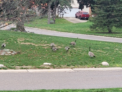
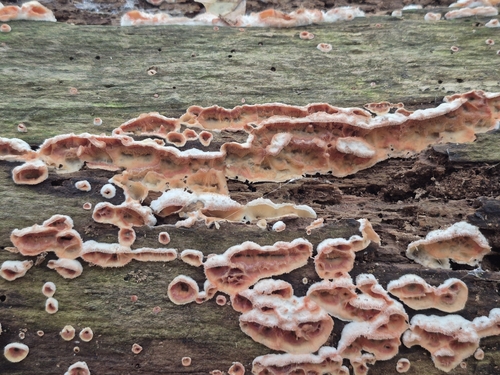
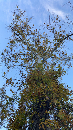


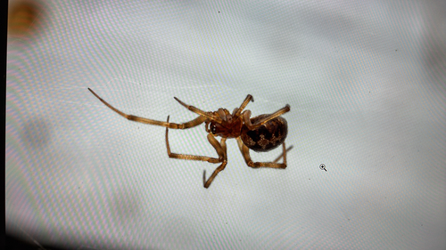

Research-grade observations from iNaturalist (within ~15 mi).
Nearest stream gauge
Events
Gallery
Sources
- • Wikipedia
- • US Census Bureau (ACS 5-year estimates)
- • NOAA National Weather Service
- • Wikidata
- • USGS Earthquake Catalog (global feed)
- • NCES via Urban Institute Education Data Portal
- • GBIF (Global Biodiversity Information Facility)
- • iNaturalist
- • CDC PLACES
- • Open-Meteo / sunrise-sunset.org
- • Wikipedia Pageviews API
- • Open Library