Browse / United States / Michigan / Norwood
Norwood
MichiganCDP

Norwood
Total population
126
Median home value
$353,800
Bachelor's+
Median income
$68,125
Demographic figures from US Census Bureau · ACS 5-year estimates. Overview below cites Wikipedia and may reference a different year.
City facts
Facts from Wikidata (CC0).
Overview
Norwood is an unincorporated community and census-designated place (CDP) in Charlevoix County in the U.S. state of Michigan. The population of the CDP was 144 at the 2020 census. It is located along the shores of Lake Michigan in Norwood Township.
Read more on WikipediaHistory & geography
History
The area was settled as early as 1867 when Orvis Wood and Lucius Pearl, and Orin Adams built a dock and sawmill here. At the time, it was part of Emmet County, as Charlevoix County was not organized in 1869. The following year, William Harris built a hotel, and it became an important shipping location. Harris served as the first postmaster when a post office opened on February 1, 1868. The name Norwood was chosen due to its located in the northern woods. The post office operated until April 30, 1913. In 1867, the Norwood School District No. 1 was organized. In 1869, a frame schoolhouse was built, and the current structure was built in 1890. Due to low enrollment, the district merged with Charlevoix School District in 1957. The structure then served as a church building. It was purchased and restored to a museum by the Norwood Area Historic Society in 2004. In 2017, the former schoolhouse was dedicated as a Michigan State Historic Site. The community of Norwood was listed as a newly organized census-designated place for the 2010 census, meaning it now has officially defined boundaries and population statistics for the first time. Norwood uses the Charlevoix 49720 ZIP Code.
Geography
According to the U.S. Census Bureau, the Advance CDP has a total area of , all land. * runs south–north near the eastern boundary of the Norwood CDP.
Excerpted from the corresponding Wikipedia article (CC BY-SA).
Demographics & economy
Race & ethnicity
Source: US Census Bureau — American Community Survey, 5-year estimates.
Geography
Coordinates & boundaries from the US Census TIGER/Line shapefiles.
Climate
Current forecast
Forecast for Norwood, MI from NOAA NWS API.
Air quality
Industrial & pollution facilities
Natural hazard risk
Health (adults)
Age-adjusted prevalence estimates from CDC PLACES (latest release).
Walkability
Amenities nearby
Wildlife & biodiversity
Schools
Largest nearby schools
- Charlevoix Middle High SchoolHigh · CHARLEVOIX · 408 students · 16.3:1 ratio
- Charlevoix Elementary SchoolElementary · CHARLEVOIX · 398 students · 14.7:1 ratio
- CharEm Special Education SchoolsOther · CHARLEVOIX · 95 students · 4:1 ratio
- Charlevoix AcademyOther · CHARLEVOIX · 45 students · 11.3:1 ratio
Public K–12 schools within ~10 mi from Urban Institute Education Data Portal (NCES Common Core of Data, 2022).
Earthquake history
Photos
Sights & places nearby
Notable people from here
Nearby places in Michigan
Geography & sun
Nearby airports
Public attention
Books about this place
Recent natural events nearby
Ground air-quality sensors
Recently spotted species


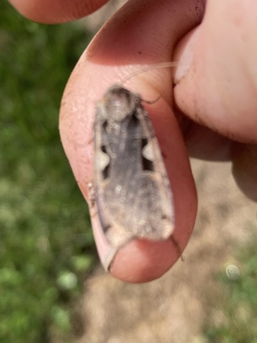
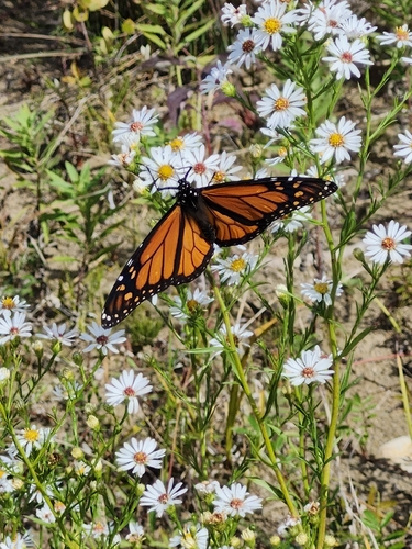

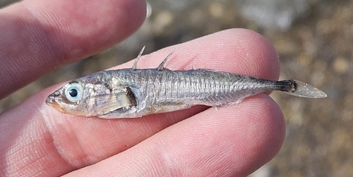


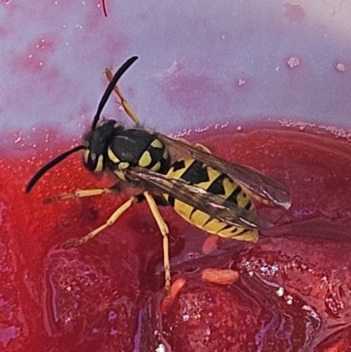
Research-grade observations from iNaturalist (within ~15 mi).
Nearest stream gauge
Events
Gallery
Sources
- • Wikipedia
- • US Census Bureau (ACS 5-year estimates)
- • NOAA National Weather Service
- • Wikidata
- • NCES via Urban Institute Education Data Portal
- • iNaturalist
- • CDC PLACES