Browse / United States / Michigan / Swartz Creek
Swartz Creek
Michigancity

Swartz Creek
Total population
5,853
Median home value
$174,200
Bachelor's+
Median income
$71,571
Founded
1959
Demographic figures from US Census Bureau · ACS 5-year estimates. Overview below cites Wikipedia and may reference a different year.
City facts
Facts from Wikidata (CC0).
Overview
Swartz Creek is a city in Genesee County in the U.S. state of Michigan. The population was 5,897 at the 2020 census. The city is a suburb of Flint and has incorporated land formerly within Flint Charter Township, Gaines Township, and Clayton Township, but is administratively autonomous from all three.
Read more on WikipediaHistory & geography
History
Native Americans traveled the trail that paralleled the Swartz Creek to reach the maple trees, on what would later be the Crapo Farm, to fish, gather fruit, and hunt. This trail terminated in the Lansing area. {| class="wikitable" |- |colspan=3 | Miller Settlement Population |- ! Year !! Pop. !! ±% p.a. |- | 1880 || 132 || — |- | 1916 || 650 || +4.53% |- |colspan=3| source: in then Flint Township at its original size of 9 township survey areas. On March 11, 1837, just weeks after Michigan became a state, the southern area that would make up the community was placed into Mundy Township. In 1848, Miller Road was designed as a state road. The first Masonic Temple in the community was built in 1906 on Miller Road. In 1927, the community's downtown roads were paved with gravel supplied by the Crapo Gravel Company, which created the now Winchester Lake. Electrical power was brought to the area that same year. On Wednesday April 7, 1954 at about 7:40 PM, a small tornado hit the community. The tornado destroyed the fire hall, knocking down power lines and taking roofs off homes while only injuring two. Otterburn as the rest of Flint Township was in Grand Blanc Township at its organized on March 9, 1833, then split off into Flint Township on March 2, 1836, then with the west half of the survey area was place in Flushing Township. The first land purchase in section 31, the general area of Otterburn, was on May 30, 1836, by John W. McNair. The location was known as Otterburn as otters were generally seen there on the Swartz Creek, a burn. On August 27, 1887, Charles F. Shumway assumed the position of postmaster for the post office upon its opening. The post office closed on October 31, 1913. for its service and parts operations moved from the west Flint Chevy in the Hole…
Geography
According to the United States Census Bureau, the city has a total area of , all land. The west branch of the Swartz Creek flows from west to east through the city, generally as the southern border for the east most third, toward the Flint River, leaving the southeast corner of Clayton Township separated from the rest of the township. Just south and parallel to the creek is the Canadian National Railway line, formerly the Grand Trunk line, which runs between Flint and Durand.
Excerpted from the corresponding Wikipedia article (CC BY-SA).
Demographics & economy
Race & ethnicity
Source: US Census Bureau — American Community Survey, 5-year estimates.
Geography
Coordinates & boundaries from the US Census TIGER/Line shapefiles.
Climate
Current forecast
Forecast for Swartz Creek, MI from NOAA NWS API.
Air quality
Industrial & pollution facilities
Natural hazard risk
Health (adults)
Walkability
Amenities nearby
Wildlife & biodiversity
Schools
Earthquake history
Photos
Sights & places nearby
Notable people from here


People born within ~10 km, from Wikidata (CC0). Click any name for their Wikipedia article.
Nearby places in Michigan
- Flushing6.9 mi away · pop. 8,284
- Flint7.5 mi away · pop. 79,727
- Grand Blanc10.1 mi away · pop. 7,987
- Argentine12.1 mi away
- Fenton12.4 mi away · pop. 11,906
- Holly15 mi away · pop. 5,964
- Burt19.3 mi away · pop. 1,339
- Birch Run19.8 mi away
- Morrice20.6 mi away · pop. 1,550
- Henderson20.8 mi away · pop. 320
- Ortonville20.8 mi away
- Hartland21 mi away · pop. 912
Geography & sun
Elevation, sunrise/sunset and daylight from Open-Meteo. Solar climatology from NASA POWER.
Nearby airports
Public attention
Pageview totals from the Wikimedia Pageviews API.
Books about Swartz Creek


Search results from Open Library.
Recent natural events nearby
Ground air-quality sensors
Recently spotted species
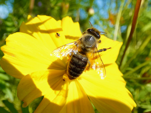


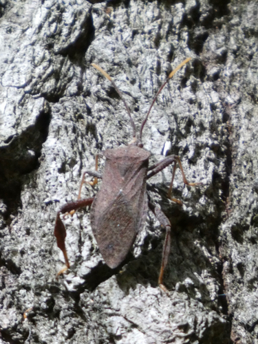
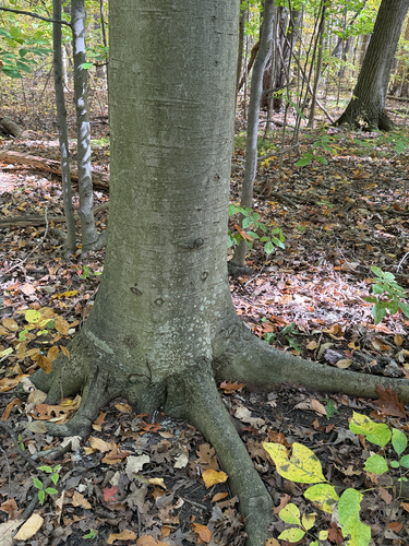

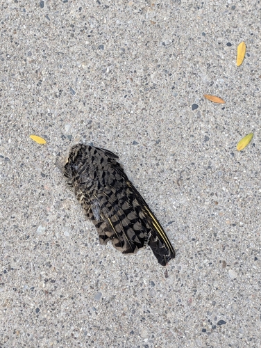
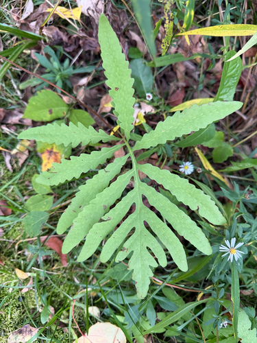
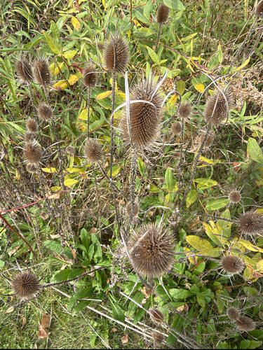
Research-grade observations from iNaturalist (within ~15 mi).
Nearest stream gauge
Live readings from USGS NWIS.
Events
Gallery
Sources
- • Wikipedia
- • US Census Bureau (ACS 5-year estimates)
- • NOAA National Weather Service
- • Wikidata
- • USGS NWIS (water data)
- • iNaturalist
- • Open-Meteo / sunrise-sunset.org
- • Wikipedia Pageviews API
- • Open Library