Browse / United States / Michigan / Taylor
Taylor
Michigancity

Taylor
Total population
62,081
Median home value
$152,600
Bachelor's+
Median income
$61,081
Founded
1847
Air quality index
Demographic figures from US Census Bureau · ACS 5-year estimates. Overview below cites Wikipedia and may reference a different year.
City facts
Facts from Wikidata (CC0).
Overview
Taylor is a city in Wayne County in the U.S. state of Michigan. A Downriver suburb of Detroit, Taylor is located roughly 16 miles (25.7 km) southwest of downtown Detroit. As of the 2020 census, Taylor had a population of 63,409, ranking as the 17th most-populated city in Michigan.
Read more on WikipediaHistory & geography
History
The city of Taylor traces its origins back to when it was originally part of Ecorse Township to the west. At this time the land was mostly rural farm land with little development. Many residents in the western portion of the township found that they lived too far away to participate in the civic affairs and functions of the township. Because of this, the residents petitioned to form a separate community. The petition was granted in 1847 and the new community was named Taylor Township. a hero of the Mexican–American War who would go on to serve as the twelfth president of the United States. A small train station was built in 1876 after the Wabash Railroad built a railroad line through Taylor Township. George E Hand sold the right-of-way through his land and the station was named after him. The area to some locals became known as "Hand Corners". The original station was destroyed in a fire in 1965 however a near replica was built at Heritage Park. In 1882, German settlers in Taylor built the West Mound United Methodist Church on Eureka Road. The church sat located on Eureka Road until 1994 when it was sold to the city and relocated to Heritage Park. The church had a major fire in 2020 while construction work was being done. In 1954, the first American Bektashi Sufi lodge with significant support from the Albanian-American community of the Detroit area. On November 8, 1966, citizens voted in favor of the township becoming the City of Taylor, however the city would not be officially incorporated until March 6, 1968, when the city's charter was officially approved by then governor George W. Romney a few years after the city's founding. President Bill Clinton attended the commemoration ceremony for the new Department of Public works building grand opening in 1996.…
Geography
According to the United States Census Bureau, the city has a total area of , of which is land and (0.13%) is water. Taylor has continental climate, meaning that it has cold winters and humid summers like many other places in the Great Lakes region. Taylor's climate is unsurprisingly close to that of Detroit. * travels through the southeast corner of the city between Racho and Allen Roads. * runs east–west through the northern part of the city between Van Born and Ecorse Roads. *, which is Telegraph Road, runs north–south through the city center, acting as the main thoroughfare in the city. *Eureka Road is an important east–west artery in the city, which holds Taylor's shopping district and intersects I-75. *Van Born Road forms the northern border of Taylor, shared with Dearborn Heights. Just east of Taylor's city limits, the road curves north and becomes Southfield Freeway. *Goddard Road runs east–west through the center of the city and holds Taylor's municipal buildings near its intersection with Telegraph. *Northline Road runs east–west a mile south of Goddard and holds Wayne County Community College, as well as the southern entrance to the Heritage Park *Allen Road and Pelham Road both form Taylor's eastern border. Allen Road travels north–south as Taylor's border with Southgate and then veers north-east into Allen Park, at which point Taylor's border with Allen Park becomes Pelham Road. *Inkster Road and Pennsylvania Road form Taylor's western and southern borders, respectively. The City of Taylor is bordered by seven other communities.
Excerpted from the corresponding Wikipedia article (CC BY-SA).
Demographics & economy
Race & ethnicity
Source: US Census Bureau — American Community Survey, 5-year estimates.
Geography
Coordinates & boundaries from the US Census TIGER/Line shapefiles.
Climate
Current forecast
Forecast for Taylor, MI from NOAA NWS API.
Air quality
Current readings from Open-Meteo Air Quality API (Copernicus CAMS European reanalysis).
Industrial & pollution facilities
Natural hazard risk
Health (adults)
Age-adjusted prevalence estimates from CDC PLACES (latest release).
Walkability
Amenities nearby
Wildlife & biodiversity
Most-observed species
- American RobinTurdus migratorius Linnaeus, 1766 · Aves22,851
- Blue JayCyanocitta cristata (Linnaeus, 1758) · Aves20,448
- Northern CardinalCardinalis cardinalis (Linnaeus, 1758) · Aves20,304
- Mourning DoveZenaida macroura (Linnaeus, 1758) · Aves18,010
- House SparrowPasser domesticus (Linnaeus, 1758) · Aves17,696
- European StarlingSturnus vulgaris Linnaeus, 1758 · Aves16,078
- Downy WoodpeckerDryobates pubescens (Linnaeus, 1766) · Aves15,225
- Canada Goose (canadensis Group)Branta canadensis (Linnaeus, 1758) · Aves14,623
Citizen-science & research observations from the Global Biodiversity Information Facility (GBIF).
Schools
Largest nearby schools
- Fordson High SchoolHigh · DEARBORN · 2,339 students · 19.7:1 ratio
- Dearborn High SchoolHigh · DEARBORN · 1,969 students · 20.7:1 ratio
- Star International AcademyOther · DEARBORN HEIGHTS · 1,698 students · 20:1 ratio
- Edsel Ford High SchoolHigh · DEARBORN · 1,639 students · 19.1:1 ratio
- John Glenn High SchoolHigh · WESTLAND · 1,542 students · 21.7:1 ratio
- Taylor High SchoolHigh · TAYLOR · 1,394 students · 18.6:1 ratio
- Lincoln Park High SchoolHigh · LINCOLN PARK · 1,367 students · 21.7:1 ratio
- Wayne Memorial High SchoolHigh · WAYNE · 1,361 students · 18.4:1 ratio
Public K–12 schools within ~10 mi from Urban Institute Education Data Portal (NCES Common Core of Data, 2022).
Earthquake history
Most recent
- M 2.7 — 2026-05-048 km N of Maybee, Michigan
- M 3 — 2026-04-267 km SSE of Amherstburg, Canada
- M 2.5 — 2024-03-184 km WSW of Millbury, Ohio
- M 2.6 — 2023-05-203 km SSE of Walbridge, Ohio
- M 3.2 — 2020-08-212 km SSE of Detroit Beach, Michigan
- M 3.4 — 2018-04-20Michigan
Events from the USGS Earthquake Catalog (global) (FDSN Event Web Service).
Photos
Sights & places nearby
Notable people from here


People born within ~10 km, from Wikidata (CC0). Click any name for their Wikipedia article.
Nearby places in Michigan
- Allen Park3.8 mi away · pop. 27,925
- Inkster5.5 mi away · pop. 26,088
- Ecorse6.7 mi away
- Garden City7.8 mi away · pop. 27,380
- River Rouge8.1 mi away · pop. 7,008
- Flat Rock8.8 mi away
- Gibraltar9 mi away
- Rockwood10.8 mi away · pop. 3,161
- Belleville11.1 mi away
- South Rockwood11.4 mi away
- Carleton13.2 mi away
- Highland Park15.2 mi away
Geography & sun
Elevation, sunrise/sunset and daylight from Open-Meteo. Solar climatology from NASA POWER.
Nearby airports
Public attention
Pageview totals from the Wikimedia Pageviews API.
Books about Taylor




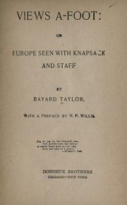

Search results from Open Library.
Recent natural events nearby
Ground air-quality sensors
Recently spotted species
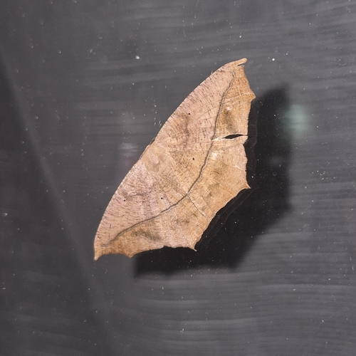
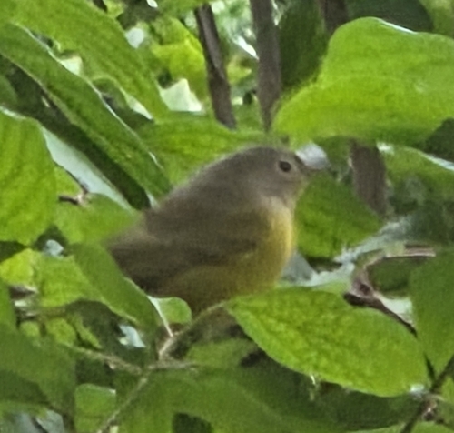
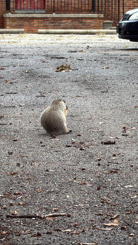
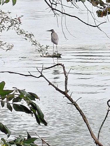
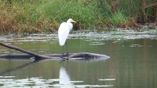

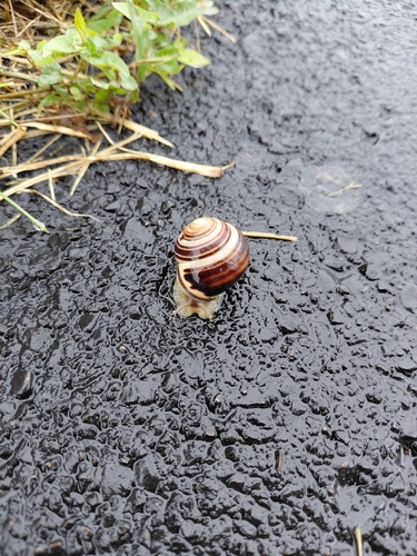
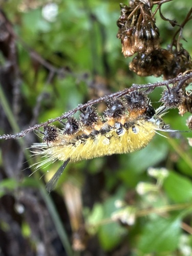
Research-grade observations from iNaturalist (within ~15 mi).
Nearest stream gauge
Events
Gallery
Sources
- • Wikipedia
- • US Census Bureau (ACS 5-year estimates)
- • NOAA National Weather Service
- • Wikidata
- • Open-Meteo Air Quality (CAMS)
- • USGS Earthquake Catalog (global feed)
- • NCES via Urban Institute Education Data Portal
- • GBIF (Global Biodiversity Information Facility)
- • iNaturalist
- • CDC PLACES
- • Open-Meteo / sunrise-sunset.org
- • Wikipedia Pageviews API
- • Open Library