Browse / United States / Missouri / Greenville
Greenville
Missouricity

Greenville
Total population
418
Median home value
$97,700
Bachelor's+
Median income
$41,400
Demographic figures from US Census Bureau · ACS 5-year estimates. Overview below cites Wikipedia and may reference a different year.
- Special Weather Statement · ModerateSpecial Weather Statement issued October 13 at 4:23AM CDT by NWS Paducah KY
Source: NOAA National Weather Service.
City facts
Facts from Wikidata (CC0).
Overview
Greenville is a city in and the county seat of Wayne County, Missouri, United States, that is located on U.S. Route 67 near the intersection with Route D and E along the St. Francis River. The population was 443 at the 2020 census. Greenville was incorporated and founded as the county seat of Wayne County in 1819.
Read more on WikipediaHistory & geography
History
Greenville was named after Fort Greene Ville (now Greenville), Ohio, the site where General Anthony Wayne signed a treaty with the Native Americans after defeating them in the Battle of Fallen Timbers on August 20, 1794. This was the final battle of the Northwest Indian War. Wayne County was named for this military hero and Greenville was named for the place he was most famous for. Incidentally, Fort Greene Ville, Ohio, was named after Nathanael Greene, a friend of Wayne. In 1826, Greenville flooded. On August 10, 1832, the first post office opened. Confederate Brigadier General William J. Hardee and officers Patrick Cleburne, Thomas C. Hindman, and Basil W. Duke along with about 800 men were stationed close to Greenville near the outset of the Civil War until they began to retreat to Randolph County, Arkansas on August 28, 1861. On July 20, 1862, a camp of two companies of the 12th Missouri State Militia was attacked at daylight, surprising the camp, taking most of their rifles, 16 Savage revolvers, all of their horses, 50 pairs of holster pistols, and killing four of their men. Greenville was incorporated as a village on February 23, 1893. In 1941, the village was relocated two miles to the north after the construction of Lake Wappapello. Old Greenville (23WE637) was listed on the National Register of Historic Places in 1990.
Geography
Greenville is located on the southern edge of the Ozark Mountains, situated in a hilly, forested landscape. U.S. Route 67 passes through Greenville. According to the United States Census Bureau, the city has a total area of , all land. Greenville is on the east shore of Lake Wappapello, on the St. Francis River.
Excerpted from the corresponding Wikipedia article (CC BY-SA).
Demographics & economy
Race & ethnicity
Source: US Census Bureau — American Community Survey, 5-year estimates.
Geography
Coordinates & boundaries from the US Census TIGER/Line shapefiles.
Climate
Current forecast
Forecast for Greenville, MO from NOAA NWS API.
Air quality
Industrial & pollution facilities
Natural hazard risk
Health (adults)
Age-adjusted prevalence estimates from CDC PLACES (latest release).
Walkability
Amenities nearby
Wildlife & biodiversity
Most-observed species
- American CrowCorvus brachyrhynchos C.L.Brehm, 1822 · Aves298
- Blue JayCyanocitta cristata (Linnaeus, 1758) · Aves232
- Northern CardinalCardinalis cardinalis (Linnaeus, 1758) · Aves221
- Red-bellied WoodpeckerMelanerpes carolinus (Linnaeus, 1758) · Aves216
- Tufted TitmouseBaeolophus bicolor (Linnaeus, 1766) · Aves199
- Turkey VultureCathartes aura (Linnaeus, 1758) · Aves185
- Pileated WoodpeckerDryocopus pileatus (Linnaeus, 1758) · Aves183
- Carolina ChickadeePoecile carolinensis (Audubon, 1834) · Aves178
Citizen-science & research observations from the Global Biodiversity Information Facility (GBIF).
Schools
Earthquake history
Most recent
- M 2.93 — 2026-06-3014 km SSW of Williamsville, Missouri
- M 2.64 — 2026-05-2912 km E of Williamsville, Missouri
- M 2.84 — 2026-03-023 km NW of Marston, Missouri
- M 2.6 — 2025-11-015 km SW of Puxico, Missouri
- M 3.07 — 2025-09-064 km S of Puxico, Missouri
- M 2.94 — 2025-06-2712 km WSW of Grandin, Missouri
Events from the USGS Earthquake Catalog (global) (FDSN Event Web Service).
Photos
Sights & places nearby
Notable people from here

People born within ~10 km, from Wikidata (CC0). Click any name for their Wikipedia article.
Nearby places in Missouri
Geography & sun
Elevation, sunrise/sunset and daylight from Open-Meteo. Solar climatology from NASA POWER.
Nearby airports
Public attention
Pageview totals from the Wikimedia Pageviews API.
Books about Greenville
Search results from Open Library.
Recent natural events nearby
Ground air-quality sensors
Recently spotted species
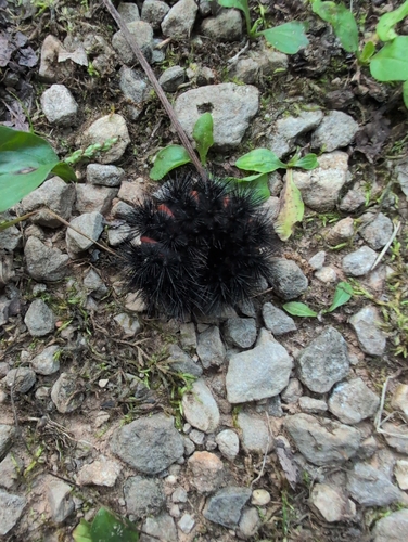
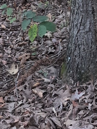
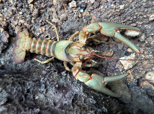
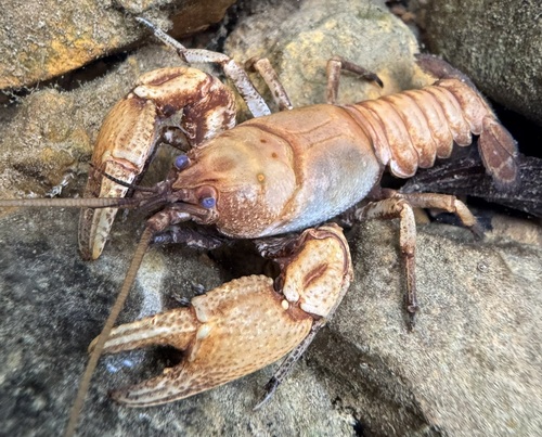
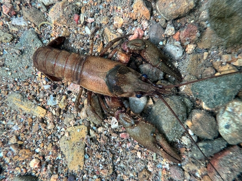

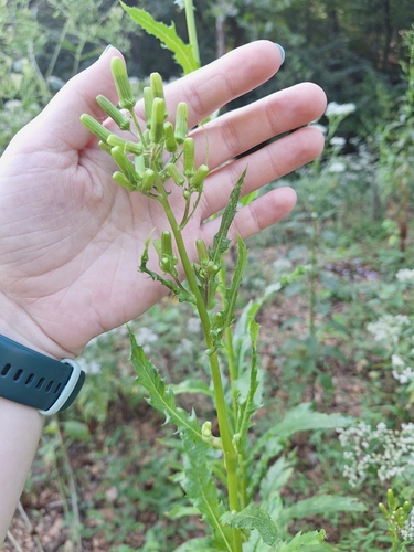
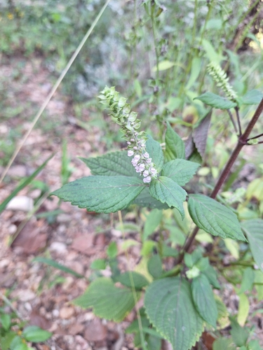
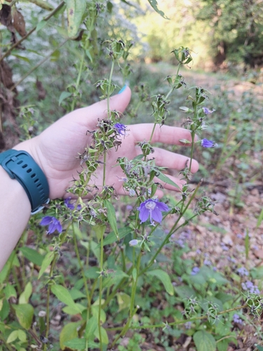
Research-grade observations from iNaturalist (within ~15 mi).
Nearest stream gauge
Live readings from USGS NWIS · measured 2026-09-18 10:30 UTC.
Events
Gallery
Sources
- • Wikipedia
- • US Census Bureau (ACS 5-year estimates)
- • NOAA National Weather Service
- • Wikidata
- • USGS Earthquake Catalog (global feed)
- • USGS NWIS (water data)
- • GBIF (Global Biodiversity Information Facility)
- • iNaturalist
- • CDC PLACES
- • Open-Meteo / sunrise-sunset.org
- • Wikipedia Pageviews API
- • Open Library