Browse / United States / Missouri / Lupus
Lupus
Missouritown

Lupus
Total population
40
Median home value
$87,500
Bachelor's+
Median income
$87,656
Demographic figures from US Census Bureau · ACS 5-year estimates. Overview below cites Wikipedia and may reference a different year.
- Heat Advisory · ModerateHeat Advisory issued September 18 at 2:00PM CDT until September 19 at 8:00PM CDT by NWS St Louis MO
Source: NOAA National Weather Service.
City facts
Facts from Wikidata (CC0).
Overview
Lupus is a city in Moniteau County, Missouri, United States. The population was 28 at the 2020 census. It is part of the Jefferson City metropolitan area.
Read more on WikipediaHistory & geography
History
A post office called Lupus was established in 1884, and remained in operation until 1955. Lupus is a name derived from Latin meaning "wolf".
Geography
Lupus is in northern Moniteau County, on the southwest bank of the Missouri River. It is bordered to the northeast, across the river, by Boone County. Lupus is north of Jamestown, which serves as the community's mailing address. The city of Columbia is to the northeast as the crow flies, but by highway, using the nearest crossing of the Missouri: Interstate 70 between Columbia and Boonville. According to the U.S. Census Bureau, Lupus has a total area of , all land.
Excerpted from the corresponding Wikipedia article (CC BY-SA).
Demographics & economy
Race & ethnicity
Source: US Census Bureau — American Community Survey, 5-year estimates.
Geography
Coordinates & boundaries from the US Census TIGER/Line shapefiles.
Climate
Current forecast
Forecast for Lupus, MO from NOAA NWS API.
Air quality
Industrial & pollution facilities
Natural hazard risk
Health (adults)
Walkability
Amenities nearby
Wildlife & biodiversity
Most-observed species
- Northern CardinalCardinalis cardinalis (Linnaeus, 1758) · Aves24,120
- Black-capped ChickadeePoecile atricapillus (Linnaeus, 1766) · Aves18,500
- Red-bellied WoodpeckerMelanerpes carolinus (Linnaeus, 1758) · Aves17,493
- Tufted TitmouseBaeolophus bicolor (Linnaeus, 1766) · Aves17,087
- Downy WoodpeckerDryobates pubescens (Linnaeus, 1766) · Aves16,822
- Blue JayCyanocitta cristata (Linnaeus, 1758) · Aves15,852
- Mourning DoveZenaida macroura (Linnaeus, 1758) · Aves14,742
- Turkey VultureCathartes aura (Linnaeus, 1758) · Aves13,308
Citizen-science & research observations from the Global Biodiversity Information Facility (GBIF).
Schools
Earthquake history
Photos
Sights & places nearby
Notable people from here
Nearby places in Missouri
Geography & sun
Elevation, sunrise/sunset and daylight from Open-Meteo. Solar climatology from NASA POWER.
Nearby airports
Public attention
Pageview totals from the Wikimedia Pageviews API.
Books about this place
Recent natural events nearby
Ground air-quality sensors
Recently spotted species
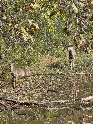
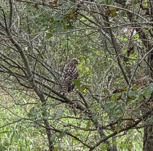
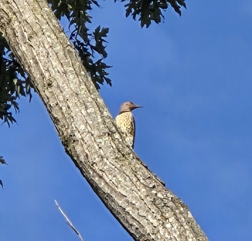
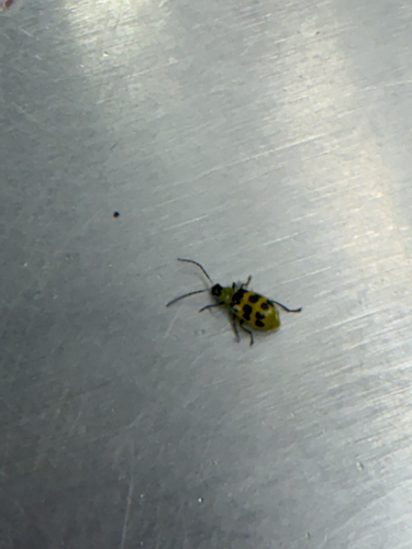
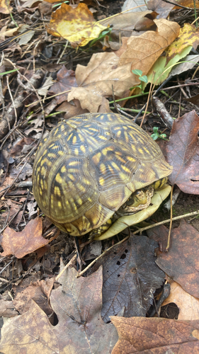
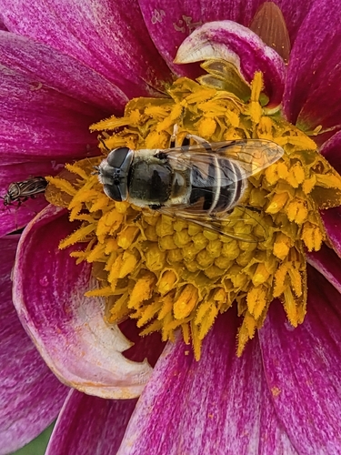
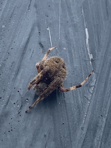
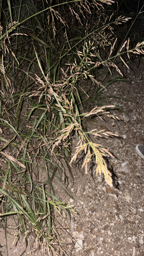
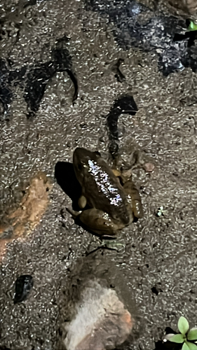
Research-grade observations from iNaturalist (within ~15 mi).
Nearest stream gauge
Events
Gallery
Sources
- • Wikipedia
- • US Census Bureau (ACS 5-year estimates)
- • NOAA National Weather Service
- • Wikidata
- • GBIF (Global Biodiversity Information Facility)
- • iNaturalist
- • Open-Meteo / sunrise-sunset.org
- • Wikipedia Pageviews API