Browse / United States / Missouri / Malden
Malden
Missouricity

Malden
Total population
3,805
Median home value
$101,300
Bachelor's+
Median income
$40,118
Demographic figures from US Census Bureau · ACS 5-year estimates. Overview below cites Wikipedia and may reference a different year.
- Wind Advisory · ModerateWind Advisory issued October 9 at 1:33PM CDT until October 10 at 8:00PM CDT by NWS Memphis TN
Source: NOAA National Weather Service.
City facts
Facts from Wikidata (CC0).
Overview
Malden is a city in the northeast corner of Dunklin County, Missouri, United States, located near the intersection of Missouri Route 25 and U.S. Route 62. The population was 3,706 at the 2020 census. Malden is within Missouri's 8th congressional district.
Read more on WikipediaHistory & geography
History
Malden was platted in 1877 by a railroad official. Some say the community has the name of Colonel T. H. Mauldin, a county judge, while others believe the name is a transfer from Malden, Massachusetts. A post office called Malden has been in operation since 1877. On February 24, 2018, an EF2 Tornado tracked around 40 miles from Kobel, Arkansas, before slamming into the bottom of Malden (Spoonerville) right before the end of its path, then moving into the corner of the downtown area before dissipating a quarter mile away from the 4-way division between Malden, Bernie, Clarkton, and Risco, it injured 5 people (4 in Malden, 1 in Kobel, Arkansas), and killed 1 person (1 in Kobel, Arkansas). It caused EF2 level damage, peaking at 115MPH at certain parts of Spoonerville and Downtown, hitting downtown's rundown Dixie: Auto Sales at near-EF2 strength and imploding mobile homes at EF2 strength in Spoonerville. It is the [https://tornadoarchive.com/explorer/2.3.1/#interval=0001-01-01T12:00Z;2025-01-01T12:00Z&map=-89.9641;36.5589;13.04&env_src=null&env_type=null&domain=North%20America&filters=partition|PartitionFilter|f_scale|(E)FU,(E)F0,(E)F1,(E)F2,(E)F3,(E)F4,(E)F5 only tornado to ever strike Malden, Missouri] ever since records began documentation, also by default making it the strongest to ever strike Malden and the most recent tornado to ever strike Malden as well.
Geography
Malden is located in the Missouri Bootheel and the New Madrid Seismic Zone, approximately west of New Madrid and the Mississippi River meander around the Kentucky Bend. Malden is located along the Crowley's Ridge Parkway. According to the United States Census Bureau, the city has a total area of , all land.
Excerpted from the corresponding Wikipedia article (CC BY-SA).
Demographics & economy
Race & ethnicity
Source: US Census Bureau — American Community Survey, 5-year estimates.
Geography
Coordinates & boundaries from the US Census TIGER/Line shapefiles.
Climate
Current forecast
Forecast for Malden, MO from NOAA NWS API.
Air quality
Industrial & pollution facilities
Natural hazard risk
Health (adults)
Age-adjusted prevalence estimates from CDC PLACES (latest release).
Walkability
Amenities nearby
Wildlife & biodiversity
Most-observed species
- Red-winged BlackbirdAgelaius phoeniceus (Linnaeus, 1766) · Aves474
- Northern CardinalCardinalis cardinalis (Linnaeus, 1758) · Aves453
- Mourning DoveZenaida macroura (Linnaeus, 1758) · Aves417
- Canada Goose (canadensis Group)Branta canadensis (Linnaeus, 1758) · Aves401
- Great Blue/Cocoi HeronArdea herodias Linnaeus, 1758 · Aves394
- KilldeerCharadrius vociferus Linnaeus, 1758 · Aves389
- Carolina ChickadeePoecile carolinensis (Audubon, 1834) · Aves333
- Northern ShovelerSpatula clypeata (Linnaeus, 1758) · Aves330
Citizen-science & research observations from the Global Biodiversity Information Facility (GBIF).
Schools
Largest nearby schools
- MALDEN LOWER ELEM.Elementary · MALDEN · 454 students · 12.3:1 ratio
- MALDEN HIGHHigh · MALDEN · 425 students · 11.5:1 ratio
- CAMPBELL ELEM.Elementary · CAMPBELL · 292 students · 13.9:1 ratio
- CAMPBELL HIGHHigh · CAMPBELL · 262 students · 13.8:1 ratio
Public K–12 schools within ~10 mi from Urban Institute Education Data Portal (NCES Common Core of Data, 2022).
Earthquake history
Most recent
- M 2.63 — 2026-08-046 km ENE of Steele, Missouri
- M 2.93 — 2026-06-3014 km SSW of Williamsville, Missouri
- M 2.64 — 2026-05-2912 km E of Williamsville, Missouri
- M 2.64 — 2026-05-158 km NW of Tiptonville, Tennessee
- M 4 — 2026-04-231 km WNW of Cooter, Missouri
- M 2.84 — 2026-03-023 km NW of Marston, Missouri
Events from the USGS Earthquake Catalog (global) (FDSN Event Web Service).
Photos
Sights & places nearby
Notable people from here


People born within ~10 km, from Wikidata (CC0). Click any name for their Wikipedia article.
Nearby places in Missouri
Geography & sun
Elevation, sunrise/sunset and daylight from Open-Meteo. Solar climatology from NASA POWER.
Nearby airports
Public attention
Pageview totals from the Wikimedia Pageviews API.
Books about Malden

Search results from Open Library.
Recent natural events nearby
Ground air-quality sensors
Recently spotted species


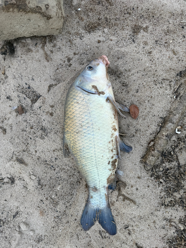
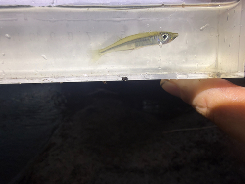

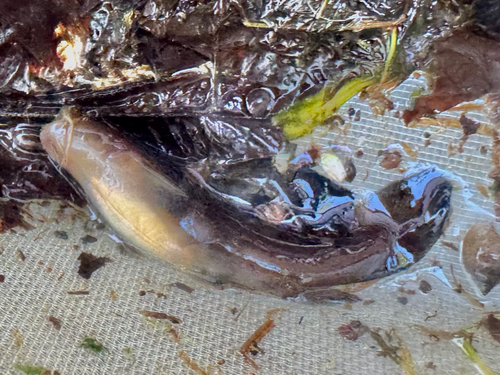
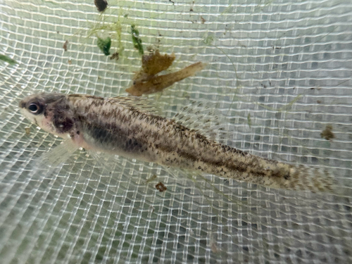
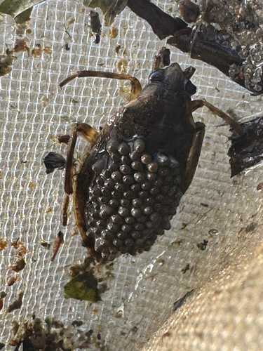
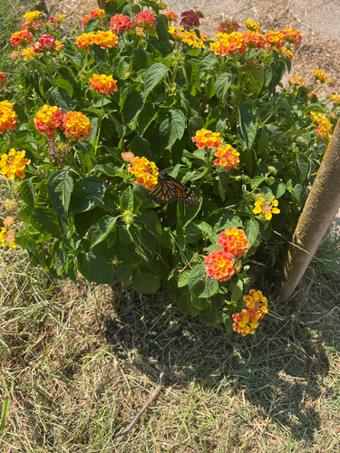
Research-grade observations from iNaturalist (within ~15 mi).
Nearest stream gauge
Live readings from USGS NWIS · measured 2010-09-30 23:00 UTC.
Events
Gallery
Sources
- • Wikipedia
- • US Census Bureau (ACS 5-year estimates)
- • NOAA National Weather Service
- • Wikidata
- • USGS Earthquake Catalog (global feed)
- • USGS NWIS (water data)
- • NCES via Urban Institute Education Data Portal
- • GBIF (Global Biodiversity Information Facility)
- • iNaturalist
- • CDC PLACES
- • Open-Meteo / sunrise-sunset.org
- • Wikipedia Pageviews API
- • Open Library