Browse / United States / Missouri / Poplar Bluff
Poplar Bluff
Missouricity

Poplar Bluff
Total population
16,254
Median home value
$119,800
Bachelor's+
Median income
$41,941
Demographic figures from US Census Bureau · ACS 5-year estimates. Overview below cites Wikipedia and may reference a different year.
City facts
Facts from Wikidata (CC0).
Overview
Poplar Bluff is a city in and the county seat of Butler County, Missouri, United States, that is known as "The Gateway to the Ozarks" among other names. The population was 16,225 at the 2020 census. The Poplar Bluff Micropolitan Statistical Area consists of all of Butler County. The city is at the crossroads of U.S. Route 60 and U.S. Route 67.
Read more on WikipediaHistory & geography
History
The French were the first Europeans to assert any territorial rights over the Poplar Bluff area. The French held the area until 1771 when it was ceded by treaty to Spain. Spain held the area until 1802 when it was returned to France. The area that would become Poplar Bluff and Butler County had no permanent European settlement until 1819, when the first white family moved into the area. It was reported that about 300 Native Americans resided in the area at that time. The earliest permanent settlements in what is now Butler County occurred in the early 19th century along the Natchitoches Trail, an old Native American trail west of what is now Poplar Bluff on Ten Mile Creek and Cane Creek. Butler County was organized in 1849 and Poplar Bluff was chosen as the county seat. In 1855 the first courthouse was built and the town grew. A tornado leveled most of the city, especially the original business district along Main and Broadway streets, on May 9, 1927. The tornado killed 98 people, tying it as the seventeenth deadliest tornado in U.S. history. On March 15, 2025, a low end EF3 tornado hit the western and north western part of town, killing one person and damaging many structures. Several buildings in Poplar Bluff are listed on the National Register of Historic Places, including the Butler County Courthouse, Cynthia-Kinzer Historic District, Alfred W. Greer House, Hargrove Pivot Bridge, Mark Twain School, J. Herbert Moore House, Thomas Moore House, Moore-Dalton House, North Main Street Historic District, John Archibald Phillips House, Poplar Bluff Commercial Historic District, Poplar Bluff Public Library, Rodgers Theatre Building, South Sixth Street Historic District, St. Louis, Iron Mountain and Southern Railroad Depot, St. Louis-San Francisco Railroad Depot,…
Geography
Poplar Bluff is located along the Black River. According to the United States Census Bureau, the city has a total area of , of which is land and is water. Poplar Bluff takes its name from a bluff that overlooks the Black River. When first settled, the bluff was covered with tulip poplar trees in one of their few abundant populations west of the Mississippi River. The Butler County Courthouse and the offices of the city's Daily American Republic newspaper sit on this site. Poplar Bluff lies along an escarpment separating the foothills of the Ozarks from the Mississippi embayment of southeastern Missouri. The foothills lie to the north and west and the embayment is to the south and east. The surrounding area is commonly known as the "Three Rivers" with many local organizations and businesses using the name. The three rivers—Current River, Black River, and St. Francis River—are 40 miles apart with Poplar Bluff located in the center on the Black River. Poplar Bluff has a humid subtropical climate (Cfa). Winters are cool with occasional snowfalls while summers are hot and humid. Rain is abundant year round, but especially in spring and fall. The coldest month is January with a mean of and the hottest month, July, has a mean of . }}
Excerpted from the corresponding Wikipedia article (CC BY-SA).
Demographics & economy
Race & ethnicity
Source: US Census Bureau — American Community Survey, 5-year estimates.
Geography
Coordinates & boundaries from the US Census TIGER/Line shapefiles.
Climate
Current forecast
Forecast for Poplar Bluff, MO from NOAA NWS API.
Air quality
Industrial & pollution facilities
Natural hazard risk
Health (adults)
Age-adjusted prevalence estimates from CDC PLACES (latest release).
Walkability
Amenities nearby
Wildlife & biodiversity
Schools
Earthquake history
Photos
Sights & places nearby
Notable people from here


People born within ~10 km, from Wikidata (CC0). Click any name for their Wikipedia article.
Nearby places in Missouri
Geography & sun
Elevation, sunrise/sunset and daylight from Open-Meteo. Solar climatology from NASA POWER.
Nearby airports
Public attention
Pageview totals from the Wikimedia Pageviews API.
Books about Poplar Bluff
Search results from Open Library.
Recent natural events nearby
Ground air-quality sensors
Recently spotted species
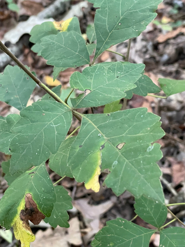
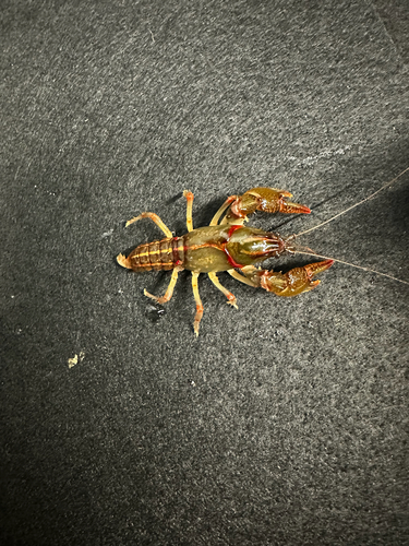
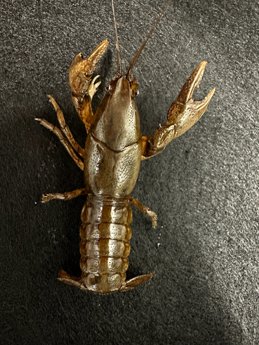
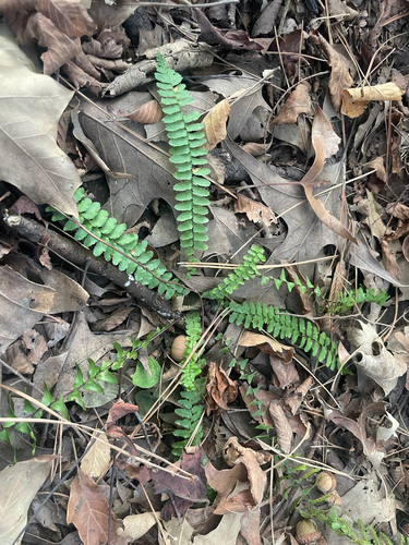
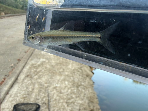
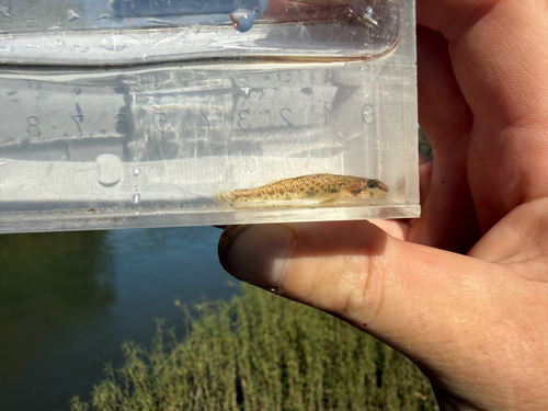
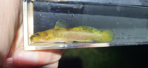
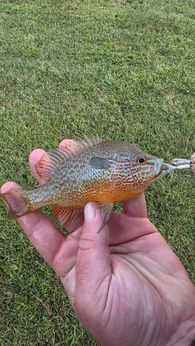
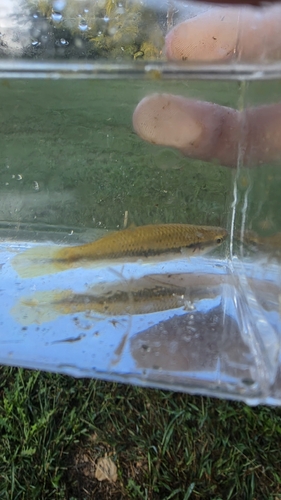
Research-grade observations from iNaturalist (within ~15 mi).
Nearest stream gauge
Events
Gallery
Sources
- • Wikipedia
- • US Census Bureau (ACS 5-year estimates)
- • NOAA National Weather Service
- • Wikidata
- • iNaturalist
- • CDC PLACES
- • Open-Meteo / sunrise-sunset.org
- • Wikipedia Pageviews API
- • Open Library