Browse / United States / Missouri / Marston
Marston
Missouricity

Marston
Total population
400
Median home value
$64,300
Bachelor's+
Median income
$35,000
Demographic figures from US Census Bureau · ACS 5-year estimates. Overview below cites Wikipedia and may reference a different year.
City facts
Facts from Wikidata (CC0).
Overview
Marston is a city in New Madrid County, Missouri, United States. The population was 397 at the 2020 census.
Read more on WikipediaHistory & geography
History
A post office called Marston has been in operation since 1898. The community was named after the mother's maiden name of an early settler. Marston was incorporated in 1905.
Geography
The city is situated along U.S. Route 61, just west of the Mississippi River. Interstate 55 passes through the eastern part of the city. Both I-55 and US 61 connect Marston with New Madrid to the northeast and Portageville to the southwest. According to the United States Census Bureau, the city has a total area of , all land.
Excerpted from the corresponding Wikipedia article (CC BY-SA).
Demographics & economy
Race & ethnicity
Source: US Census Bureau — American Community Survey, 5-year estimates.
Geography
Coordinates & boundaries from the US Census TIGER/Line shapefiles.
Climate
Air quality
Industrial & pollution facilities
Natural hazard risk
Health (adults)
Age-adjusted prevalence estimates from CDC PLACES (latest release).
Walkability
Amenities nearby
Wildlife & biodiversity
Most-observed species
- Northern CardinalCardinalis cardinalis (Linnaeus, 1758) · Aves1,071
- Bald EagleHaliaeetus leucocephalus (Linnaeus, 1766) · Aves878
- Red-winged BlackbirdAgelaius phoeniceus (Linnaeus, 1766) · Aves849
- Red-tailed HawkButeo jamaicensis (Gmelin, 1788) · Aves832
- European StarlingSturnus vulgaris Linnaeus, 1758 · Aves815
- American CrowCorvus brachyrhynchos C.L.Brehm, 1822 · Aves812
- Common GrackleQuiscalus quiscula (Linnaeus, 1758) · Aves689
- Blue JayCyanocitta cristata (Linnaeus, 1758) · Aves668
Citizen-science & research observations from the Global Biodiversity Information Facility (GBIF).
Schools
Largest nearby schools
- CENTRAL HIGH SCHOOLHigh · NEW MADRID · 400 students · 12.9:1 ratio
- PORTAGEVILLE HIGHHigh · PORTAGEVILLE · 373 students · 12:1 ratio
- CENTRAL MIDDLE SCHOOLMiddle · NEW MADRID · 297 students · 11:1 ratio
- PORTAGEVILLE ELEM.Elementary · PORTAGEVILLE · 295 students · 10.5:1 ratio
- NEW MADRID ELEMENTARYElementary · NEW MADRID · 280 students · 14:1 ratio
- LILBOURN ELEMENTARYElementary · LILBOURN · 236 students · 13.1:1 ratio
- NEW MADRID R-I TECH SKILLS CTRHigh · NEW MADRID
- NEW MADRID BEND YOUTH CTR.High · NEW MADRID
Public K–12 schools within ~10 mi from Urban Institute Education Data Portal (NCES Common Core of Data, 2022).
Earthquake history
Most recent
- M 2.63 — 2026-08-046 km ENE of Steele, Missouri
- M 2.93 — 2026-06-3014 km SSW of Williamsville, Missouri
- M 2.64 — 2026-05-2912 km E of Williamsville, Missouri
- M 2.64 — 2026-05-158 km NW of Tiptonville, Tennessee
- M 4 — 2026-04-231 km WNW of Cooter, Missouri
- M 2.84 — 2026-03-023 km NW of Marston, Missouri
Events from the USGS Earthquake Catalog (global) (FDSN Event Web Service).
Photos
Sights & places nearby
Notable people from here

People born within ~10 km, from Wikidata (CC0). Click any name for their Wikipedia article.
Nearby places in Missouri
Geography & sun
Elevation, sunrise/sunset and daylight from Open-Meteo. Solar climatology from NASA POWER.
Nearby airports
Public attention
Pageview totals from the Wikimedia Pageviews API.
Books about Marston


Search results from Open Library.
Recent natural events nearby
Ground air-quality sensors
Recently spotted species
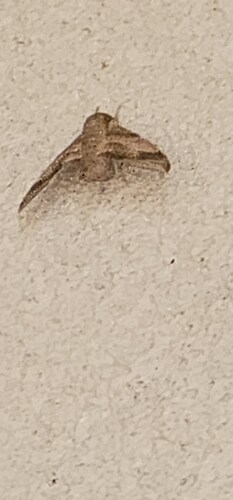
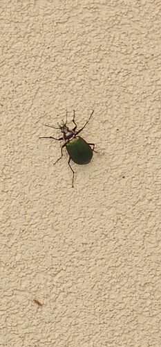
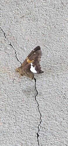
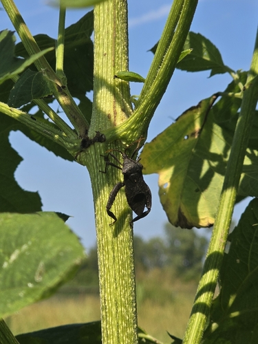
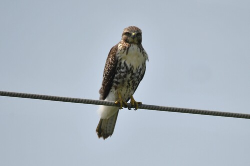
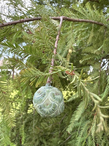
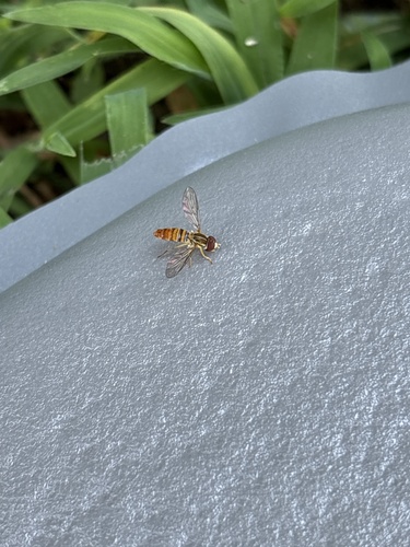
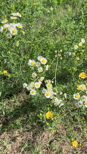
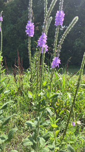
Research-grade observations from iNaturalist (within ~15 mi).
Nearest stream gauge
Live readings from USGS NWIS · measured 2026-10-17 05:00 UTC.
Events
Gallery
Sources
- • Wikipedia
- • US Census Bureau (ACS 5-year estimates)
- • Wikidata
- • USGS Earthquake Catalog (global feed)
- • USGS NWIS (water data)
- • NCES via Urban Institute Education Data Portal
- • GBIF (Global Biodiversity Information Facility)
- • iNaturalist
- • CDC PLACES
- • Open-Meteo / sunrise-sunset.org
- • Wikipedia Pageviews API
- • Open Library