Browse / United States / Mississippi / Ashland
Ashland
Mississippitown

Ashland
Total population
657
Median home value
$98,800
Bachelor's+
Median income
$38,482
Demographic figures from US Census Bureau · ACS 5-year estimates. Overview below cites Wikipedia and may reference a different year.
- Heat Advisory · ModerateHeat Advisory issued September 17 at 10:23PM CDT until September 19 at 8:00PM CDT by NWS Memphis TN
Source: NOAA National Weather Service.
City facts
Overview
Ashland is a town in Benton County, Mississippi, United States and the county seat. The population was 551 at the 2020 census, down from 569 at the 2010 census. Ashland was incorporated on March 8, 1871, and has a Mayor-Aldermen form of government.
Read more on WikipediaHistory & geography
History
Ashland was established in 1871 as the county seat for the Benton County, which had been created the previous year. The Benton County Courthouse, the focus of the town's main square, was constructed in 1873. Many of Ashland's earliest residents had relocated from Salem, an older community to the west that had been destroyed during the Civil War.
Geography
Ashland is east of Holly Springs. The town is concentrated along Mississippi Highway 370, east of its intersection with Mississippi Highway 5. The Tennessee border is to the north. According to the United States Census Bureau, Ashland has a total area of , all land. The climate in this area is characterized by hot, humid summers and generally mild to cool winters. According to the Köppen Climate Classification system, Ashland has a humid subtropical climate, abbreviated "Cfa" on climate maps.
Excerpted from the corresponding Wikipedia article (CC BY-SA).
Demographics & economy
Race & ethnicity
Source: US Census Bureau — American Community Survey, 5-year estimates.
Geography
Coordinates & boundaries from the US Census TIGER/Line shapefiles.
Climate
Current forecast
Forecast for Ashland, MS from NOAA NWS API.
Air quality
Industrial & pollution facilities
Natural hazard risk
Health (adults)
Age-adjusted prevalence estimates from CDC PLACES (latest release).
Walkability
Amenities nearby
Wildlife & biodiversity
Schools
Largest nearby schools
- ASHLAND ELEMENTARY SCHOOLElementary · Ashland · 274 students · 12.5:1 ratio
- ASHLAND MIDDLE-HIGH SCHOOLHigh · Ashland · 222 students · 15.9:1 ratio
- BENTON CO REGIONAL VOCATIONAL CENHigh · Ashland
Public K–12 schools within ~10 mi from Urban Institute Education Data Portal (NCES Common Core of Data, 2022).
Earthquake history
Photos
Sights & places nearby
Notable people from here

People born within ~10 km, from Wikidata (CC0). Click any name for their Wikipedia article.
Nearby places in Mississippi
Geography & sun
Elevation, sunrise/sunset and daylight from Open-Meteo. Solar climatology from NASA POWER.
Nearby airports
Public attention
Pageview totals from the Wikimedia Pageviews API.
Books about this place
Recent natural events nearby
- Wildfire Bunker Fire, Calhoun, ArkansasWildfires · 2026-09-15 · 213 mi
- Wildfire Bunker Fire, Calhoun, ArkansasWildfires · 2026-09-14 · 213 mi
- Wildfire Pine Tree Rd, Union, ArkansasWildfires · 2026-08-20 · 222 mi
- Wildfire RAY COAKER, Washington, AlabamaWildfires · 2026-09-09 · 244 mi
Wildfires, storms and other events from NASA EONET (last 12 months, within 250 mi).
Ground air-quality sensors
Recently spotted species
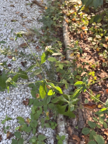




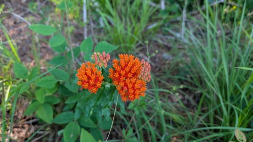
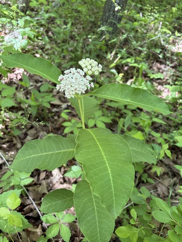
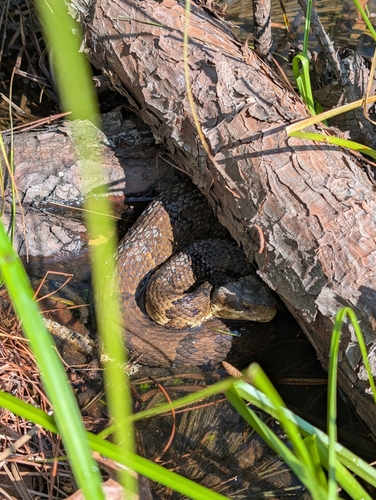
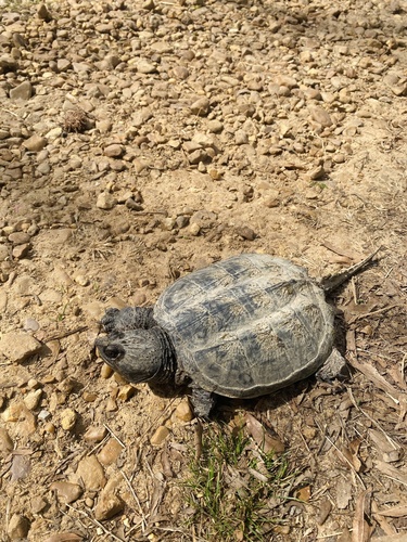
Research-grade observations from iNaturalist (within ~15 mi).
Nearest stream gauge
Events
Gallery
Sources
- • Wikipedia
- • US Census Bureau (ACS 5-year estimates)
- • NOAA National Weather Service
- • Wikidata
- • NCES via Urban Institute Education Data Portal
- • iNaturalist
- • CDC PLACES
- • Open-Meteo / sunrise-sunset.org
- • Wikipedia Pageviews API
- • NASA EONET