Browse / United States / Mississippi / Snow Lake Shores
Snow Lake Shores
Mississippitown

Snow Lake Shores
Total population
384
Median home value
$167,400
Bachelor's+
Median income
$48,000
Demographic figures from US Census Bureau · ACS 5-year estimates. Overview below cites Wikipedia and may reference a different year.
City facts
Overview
Snow Lake Shores is a town in Benton County, Mississippi, United States. As of the 2020 census, Snow Lake Shores had a population of 306.
Read more on WikipediaHistory & geography
History
The first Anglo settlers in the area were John M. Ferrell and his wife, who moved from Tennessee to a site west of present-day Snow Lake Shores in 1839. One of their ten children, Emaline, married an Englishman – Joe Shone. They built a house two miles east of the Ferrell homestead that became known as Shone's Pond. The area around Shone's Pond consisted mostly of marsh and cypress swamps. The names Shone's Mill and Shone's Mill Pond were sometimes applied to the area in its early years. In 1947, New Yorker Walter Utley moved to neighboring Marshall County with plans to build a resort-style development in the area. Big Snow Creek with its three forks looked to be a good prospect. Around 1956, a partnership of three men – including Utley – organized to develop a residential subdivision that became known as Snow Lake Shores. In 1957, Big Snow Lake was created by building a dam on a local stream. Snow Lake Shores was established in 1958 as a private, restricted resort community. It was marketed as a safe, family-friendly place for people to both vacation and live year-round. A volunteer fire department was created in 1974. Incorporation meant that the town would be eligible to receive grants for paving roads and installing a new water system. Although the permanent resident population of Snow Lake Shores stands at around 300, that figure can grow to over 900 during the summer months as seasonal residents and vacationers come to the community.
Geography
Snow Lake Shores is located along Mississippi Highway 4 in west-central Benton County, approximately west of Ashland and northeast of Holly Springs. According to the United States Census Bureau, the town has a total area of , of which is land and , or 24.13%, is water. The town consists of homes built around Snow Lake, an impoundment on Big Snow Creek, a tributary of the Tippah River and ultimately the Tallahatchie River.
Excerpted from the corresponding Wikipedia article (CC BY-SA).
Demographics & economy
Race & ethnicity
Source: US Census Bureau — American Community Survey, 5-year estimates.
Geography
Coordinates & boundaries from the US Census TIGER/Line shapefiles.
Climate
Current forecast
Forecast for Snow Lake Shores, MS from NOAA NWS API.
Air quality
Industrial & pollution facilities
Natural hazard risk
Health (adults)
Age-adjusted prevalence estimates from CDC PLACES (latest release).
Walkability
Amenities nearby
Wildlife & biodiversity
Schools
Largest nearby schools
- ASHLAND ELEMENTARY SCHOOLElementary · Ashland · 274 students · 12.5:1 ratio
- ASHLAND MIDDLE-HIGH SCHOOLHigh · Ashland · 222 students · 15.9:1 ratio
- BENTON CO REGIONAL VOCATIONAL CENHigh · Ashland
Public K–12 schools within ~10 mi from Urban Institute Education Data Portal (NCES Common Core of Data, 2022).
Earthquake history
Photos
Sights & places nearby
Notable people from here

People born within ~10 km, from Wikidata (CC0). Click any name for their Wikipedia article.
Nearby places in Mississippi
Geography & sun
Elevation, sunrise/sunset and daylight from Open-Meteo. Solar climatology from NASA POWER.
Nearby airports
Public attention
Pageview totals from the Wikimedia Pageviews API.
Books about this place
Recent natural events nearby
- Wildfire Round Prarie, Morehouse, LouisianaWildfires · 2026-09-20 · 208 mi
- Wildfire Bunker Fire, Calhoun, ArkansasWildfires · 2026-09-15 · 210 mi
- Wildfire Bunker Fire, Calhoun, ArkansasWildfires · 2026-09-14 · 210 mi
- Wildfire Pine Tree Rd, Union, ArkansasWildfires · 2026-08-20 · 219 mi
- Wildfire RAY COAKER, Washington, AlabamaWildfires · 2026-09-09 · 244 mi
Wildfires, storms and other events from NASA EONET (last 12 months, within 250 mi).
Ground air-quality sensors
Recently spotted species
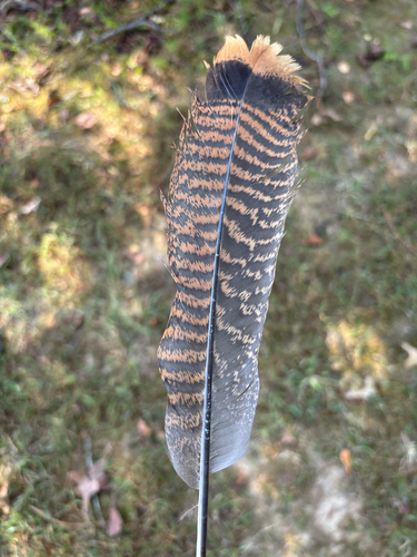
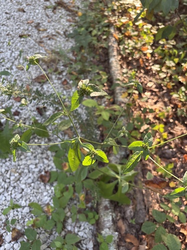


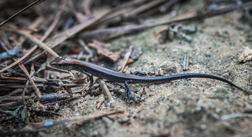
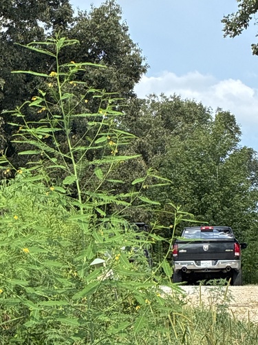
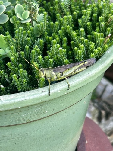
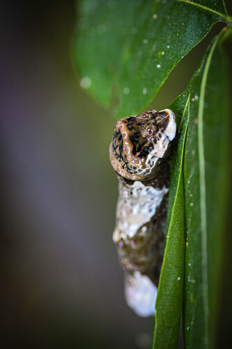
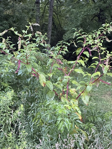
Research-grade observations from iNaturalist (within ~15 mi).
Nearest stream gauge
Events
Gallery
Sources
- • Wikipedia
- • US Census Bureau (ACS 5-year estimates)
- • NOAA National Weather Service
- • Wikidata
- • NCES via Urban Institute Education Data Portal
- • iNaturalist
- • CDC PLACES
- • Open-Meteo / sunrise-sunset.org
- • Wikipedia Pageviews API
- • NASA EONET