Browse / United States / Mississippi / Collins
Collins
Mississippicity

Collins
Total population
2,455
Median home value
$84,200
Bachelor's+
Median income
$37,944
Demographic figures from US Census Bureau · ACS 5-year estimates. Overview below cites Wikipedia and may reference a different year.
City facts
Facts from Wikidata (CC0).
Overview
Collins is a city in Covington County, Mississippi, United States. As of the 2020 census, Collins had a population of 2,342. It is the county seat of Covington County.
Read more on WikipediaHistory & geography
History
Collins was originally incorporated as Williamsburg Depot in 1899. The Gulf and Ship Island Railroad had completed construction, and bypassed Williamsburg, the county seat at that time. The sawmills moved to the new town of Williamsburg Depot in order to be closer to the railroad. As lumber was an important industry during the time, the town moved with them. Not long after, Williamsburg Depot grew to a town of 6,000 - 7,000 people. Eventually, the difficulties of having such a long town name, Williamsburg Depot, became clear. The length caused many people to write it over their stamps, voiding the postage. In order to correct this issue, the postmaster asked to have the town name changed in 1905, and the postal service came up with a short and easy name "Bad". For reasons that may be clear, the residents rejected this name, and eventually came up with Collins, in honor of Fred W. Collins, leader of the state's Republican party and U. S. Marshal for the Southern District of Mississippi. The town's name was officially changed on November 24, 1906. In 1906, a portion of the west side of Covington County became Jefferson Davis County. As a result, Williamsburg lost its position at the center of the county, and a new county seat was needed. Collins eventually emerged over Seminary and Ora, Mississippi, and a new county courthouse was built. The first court place was held in 1908.
Geography
Collins is located near the center of Covington County, along the southwest side of Okatoma Creek, a tributary of the Bowie River and part of the Pascagoula River watershed. According to the United States Census Bureau, Collins has a total area of , of which is land and , or 0.37%, is water.
Excerpted from the corresponding Wikipedia article (CC BY-SA).
Demographics & economy
Race & ethnicity
Source: US Census Bureau — American Community Survey, 5-year estimates.
Geography
Coordinates & boundaries from the US Census TIGER/Line shapefiles.
Climate
Air quality
Industrial & pollution facilities
Natural hazard risk
Health (adults)
Walkability
Amenities nearby
Wildlife & biodiversity
Most-observed species
- American CrowCorvus brachyrhynchos C.L.Brehm, 1822 · Aves98
- Northern CardinalCardinalis cardinalis (Linnaeus, 1758) · Aves83
- Turkey VultureCathartes aura (Linnaeus, 1758) · Aves79
- Blue JayCyanocitta cristata (Linnaeus, 1758) · Aves72
- Red-bellied WoodpeckerMelanerpes carolinus (Linnaeus, 1758) · Aves66
- Northern MockingbirdMimus polyglottos (Linnaeus, 1758) · Aves57
- Black VultureCoragyps atratus (Bechstein, 1793) · Aves50
- Tufted TitmouseBaeolophus bicolor (Linnaeus, 1766) · Aves48
Citizen-science & research observations from the Global Biodiversity Information Facility (GBIF).
Schools
Largest nearby schools
- SEMINARY ELEMENTARY SCHOOLElementary · Seminary · 427 students · 13.8:1 ratio
- SEMINARY HIGH SCHOOLHigh · SEMINARY · 388 students · 14.4:1 ratio
- SEMINARY MIDDLE SCHOOLMiddle · Seminary · 383 students · 12.8:1 ratio
- COLLINS ELEMENTARYElementary · COLLINS · 368 students · 14.2:1 ratio
- MOUNT OLIVE ATTENDANCE CENTEROther · Mount Olive · 333 students · 9.3:1 ratio
- CARVER MIDDLE SCHOOLMiddle · COLLINS · 266 students · 10.6:1 ratio
- COLLINS HIGH SCHOOLHigh · COLLINS · 242 students · 10.1:1 ratio
- HOPEWELL ELEMENTARY SCHOOLElementary · COLLINS · 202 students · 9.2:1 ratio
Public K–12 schools within ~10 mi from Urban Institute Education Data Portal (NCES Common Core of Data, 2022).
Earthquake history
Most recent
- M 3 — 2025-03-155 km NNE of Magee, Mississippi
Events from the USGS Earthquake Catalog (global) (FDSN Event Web Service).
Photos
Sights & places nearby
Notable people from here
Nearby places in Mississippi
Geography & sun
Elevation, sunrise/sunset and daylight from Open-Meteo. Solar climatology from NASA POWER.
Nearby airports
Public attention
Pageview totals from the Wikimedia Pageviews API.
Books about Collins

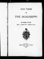
Search results from Open Library.
Recent natural events nearby
- Wildfire RAY COAKER, Washington, AlabamaWildfires · 2026-09-09 · 76 mi
- Wildfire Jackson - Hwy 90, Jackson, MississippiWildfires · 2026-08-16 · 107 mi
- Wildfire Pine Tree Rd, Union, ArkansasWildfires · 2026-08-20 · 200 mi
- Prescribed Fire RX CALV BU 104-108, Vernon, LouisianaWildfires · 2026-09-16 · 218 mi
- Wildfire Bunker Fire, Calhoun, ArkansasWildfires · 2026-09-15 · 220 mi
- Wildfire Bunker Fire, Calhoun, ArkansasWildfires · 2026-09-14 · 220 mi
Wildfires, storms and other events from NASA EONET (last 12 months, within 250 mi).
Ground air-quality sensors
Recently spotted species
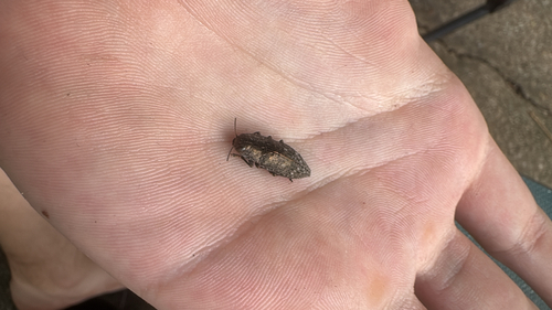

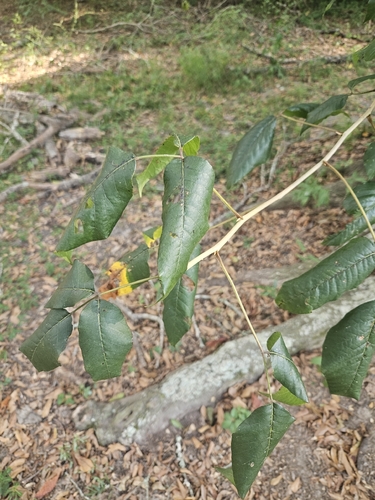

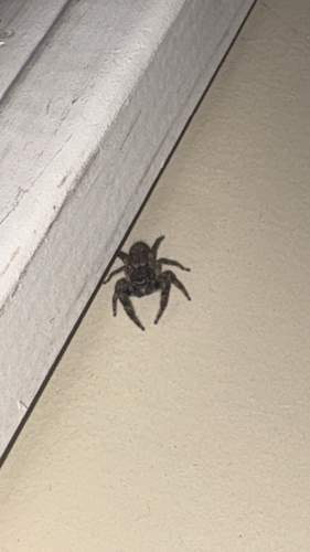
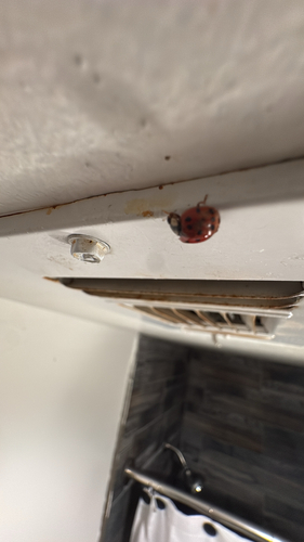
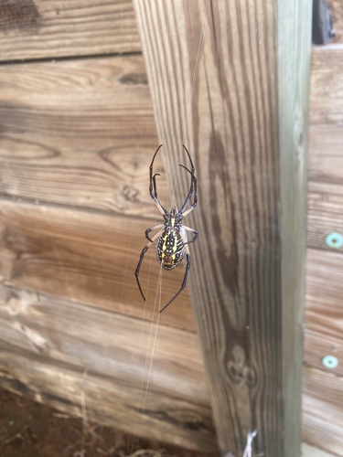
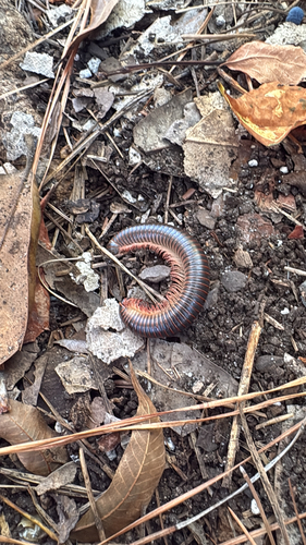
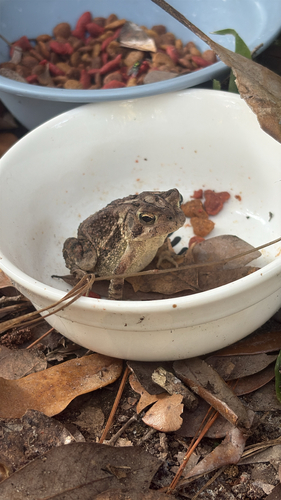
Research-grade observations from iNaturalist (within ~15 mi).
Nearest stream gauge
Events
Gallery
Sources
- • Wikipedia
- • US Census Bureau (ACS 5-year estimates)
- • Wikidata
- • USGS Earthquake Catalog (global feed)
- • NCES via Urban Institute Education Data Portal
- • GBIF (Global Biodiversity Information Facility)
- • iNaturalist
- • Open-Meteo / sunrise-sunset.org
- • Wikipedia Pageviews API
- • Open Library
- • NASA EONET