Browse / United States / Mississippi / Taylorsville
Taylorsville
Mississippitown

Taylorsville
Total population
1,650
Median home value
$143,500
Bachelor's+
Median income
$37,885
Demographic figures from US Census Bureau · ACS 5-year estimates. Overview below cites Wikipedia and may reference a different year.
City facts
Overview
Taylorsville is a town located in southeastern Smith County, Mississippi, United States. The population was 1,148 at the 2020 census. It is the most populous community in Smith County.
Read more on WikipediaHistory & geography
History
Taylorsville was established on the Gulf and Ship Island Railroad in 1900. The site was selected by an employee of the railroad, and soon after a post office was built. The post office was originally located about five miles away in Old Taylorsville (now a community located off of Mississippi Highway 531), but was later moved to New Taylorsville. It was the moving of the post office to New Taylorsville that established the present location of the town. Soon after, the Old Stringer Hotel was built. Many years later, in 1946, it was burned down in an arson fire. The town of Taylorsville was founded as a result of the extensive pine forests that grow in Smith County and the surrounding areas. The vast majority of the area was cut by Eastman-Gardiner. As lumber was a very plentiful resource, new businesses and homes both were rapidly built. There are a variety of industries present in Taylorsville, including lumber, manufacturing, signage, agriculture, and finance. Taylorsville is the headquarters of Southern Pine Electric, an electric co-op chartered in March 1938 to serve 481 homes and farms. Today, Southern Pine Electric is one of the largest electric cooperatives in the United States with nearly 10,000 miles of energized line serving more than 65,000 meters. The 11-county service area encompasses 14.3% of the total land mass of Mississippi. On March 15, 2025, a large and destructive EF2 tornado ripped through town, resulting in extensive damage. On October 2, 2022, Rasheem Carter, an African-American man, went missing after working a contracting job in Taylorsville. Immediately prior to his disappearance, Carter had contacted both his mother and local police officials to report that he was being harassed by three truckloads of unidentified men that had worked on…
Geography
According to the United States Census Bureau, the city has a total area of , all land. The city is located just west of the Leaf River, which passes under Mississippi Highway 28 about 1 mile outside of the Taylorsville city limits. The Leaf River is a main tributary of the Pascagoula River, which flows to the Gulf of Mexico.
Excerpted from the corresponding Wikipedia article (CC BY-SA).
Demographics & economy
Race & ethnicity
Source: US Census Bureau — American Community Survey, 5-year estimates.
Geography
Coordinates & boundaries from the US Census TIGER/Line shapefiles.
Climate
Current forecast
Forecast for Taylorsville, MS from NOAA NWS API.
Air quality
Industrial & pollution facilities
Natural hazard risk
Health (adults)
Age-adjusted prevalence estimates from CDC PLACES (latest release).
Walkability
Amenities nearby
Wildlife & biodiversity
Schools
Largest nearby schools
- MIZE ATTENDANCE CENTEROther · MIZE · 787 students · 14.8:1 ratio
- TAYLORSVILLE ATTENDANCE CENTEROther · TAYLORSVILLE · 627 students · 13.9:1 ratio
Public K–12 schools within ~10 mi from Urban Institute Education Data Portal (NCES Common Core of Data, 2022).
Earthquake history
Photos
Sights & places nearby
Notable people from here

People born within ~10 km, from Wikidata (CC0). Click any name for their Wikipedia article.
Nearby places in Mississippi
Geography & sun
Elevation, sunrise/sunset and daylight from Open-Meteo. Solar climatology from NASA POWER.
Nearby airports
Public attention
Pageview totals from the Wikimedia Pageviews API.
Books about Taylorsville
Search results from Open Library.
Recent natural events nearby
- Wildfire RAY COAKER, Washington, AlabamaWildfires · 2026-09-09 · 73 mi
- Wildfire Jackson - Hwy 90, Jackson, MississippiWildfires · 2026-08-16 · 113 mi
- Wildfire Round Prarie, Morehouse, LouisianaWildfires · 2026-09-20 · 165 mi
- Wildfire Pine Tree Rd, Union, ArkansasWildfires · 2026-08-20 · 201 mi
- Wildfire Bunker Fire, Calhoun, ArkansasWildfires · 2026-09-15 · 219 mi
- Wildfire Bunker Fire, Calhoun, ArkansasWildfires · 2026-09-14 · 219 mi
- Prescribed Fire RX CALV BU 104-108, Vernon, LouisianaWildfires · 2026-09-16 · 228 mi
Wildfires, storms and other events from NASA EONET (last 12 months, within 250 mi).
Ground air-quality sensors
Recently spotted species


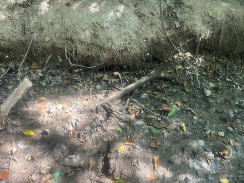

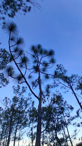
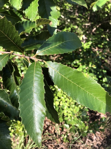

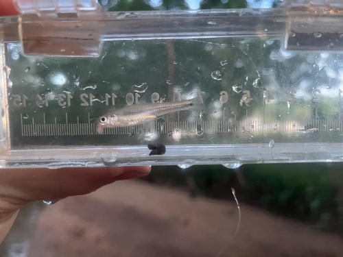

Research-grade observations from iNaturalist (within ~15 mi).
Nearest stream gauge
Events
Gallery
Sources
- • Wikipedia
- • US Census Bureau (ACS 5-year estimates)
- • NOAA National Weather Service
- • Wikidata
- • NCES via Urban Institute Education Data Portal
- • iNaturalist
- • CDC PLACES
- • Open-Meteo / sunrise-sunset.org
- • Wikipedia Pageviews API
- • Open Library
- • NASA EONET